geo.wikisort.org - Mountains
Murton Fell is a hill of 675 metres (2,215 ft) above the village of Murton, Cumbria in Eden district, in the North Pennines.[1][2] It lies east of the dramatic valley of High Cup Nick
| Murton Fell | |
|---|---|
 Stones near the summit | |
| Highest point | |
| Elevation | 675 m (2,215 ft)[1] |
| Prominence | 74 m (243 ft)[1] |
| Parent peak | Mickle Fell |
| Listing | Simm, Hewitt, Nuttall |
| Coordinates | 54°36′57″N 2°22′59″W |
| Geography | |
 Murton Fell Location in Eden, Cumbria 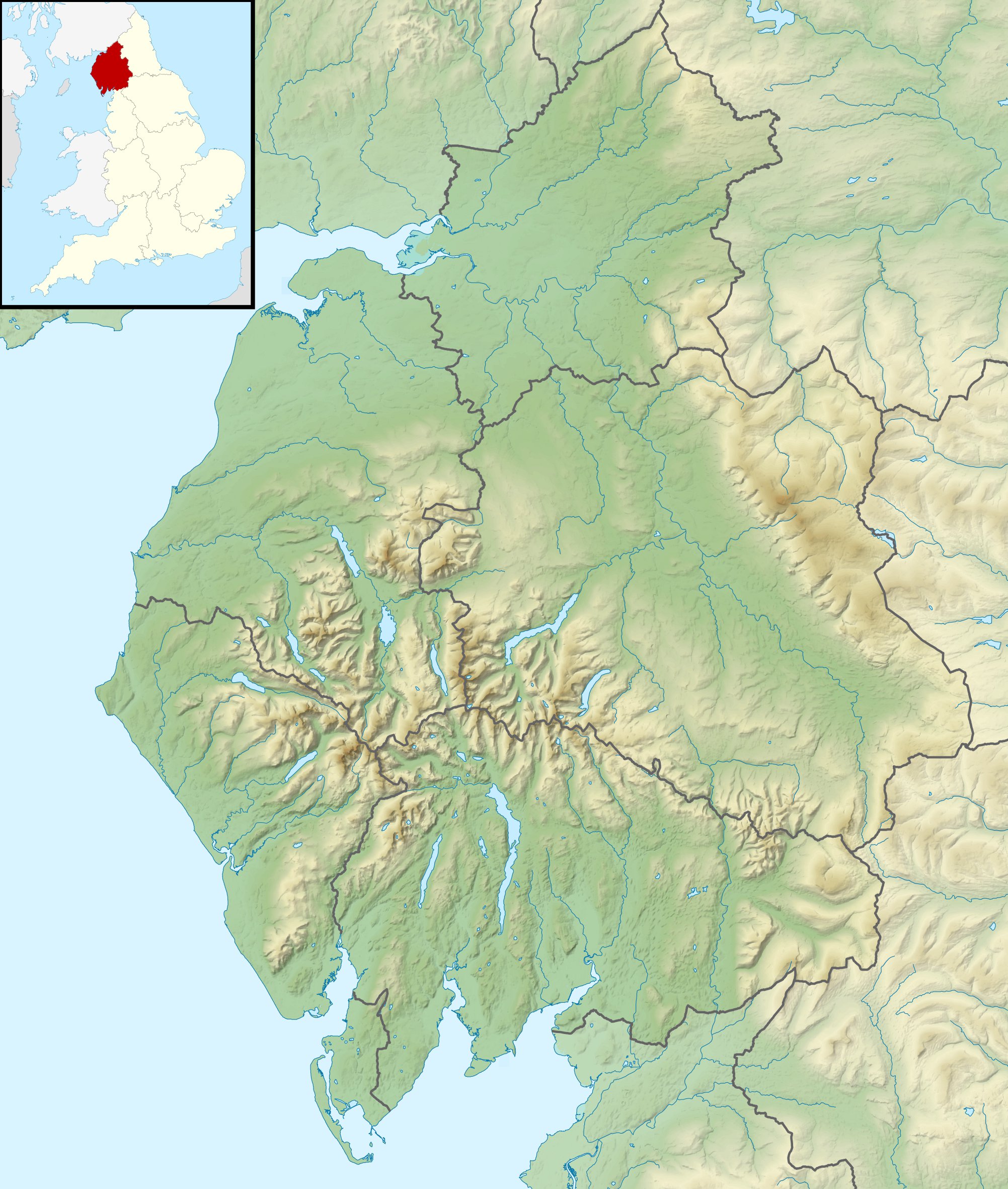 Murton Fell Location in Cumbria, England | |
| Location | North Pennines, England |
| Parent range | Lon: |
| OS grid | NY753245 |
| Topo map | OS Outdoor Leisure 19 |
It lies on the central watershed of England, as it is drained to the south west into the River Eden flowing into the Solway Firth, and to the north east into the River Tees and ultimately the North Sea.
References
- "Murton Fell". www.hill-bagging.co.uk. Retrieved 13 February 2021.
- "Murton Fell, Eden - area information, map, walks and more". OS GetOutside. Retrieved 13 February 2021.
This Cumbria location article is a stub. You can help Wikipedia by expanding it. |
Текст в блоке "Читать" взят с сайта "Википедия" и доступен по лицензии Creative Commons Attribution-ShareAlike; в отдельных случаях могут действовать дополнительные условия.
Другой контент может иметь иную лицензию. Перед использованием материалов сайта WikiSort.org внимательно изучите правила лицензирования конкретных элементов наполнения сайта.
Другой контент может иметь иную лицензию. Перед использованием материалов сайта WikiSort.org внимательно изучите правила лицензирования конкретных элементов наполнения сайта.
2019-2026
WikiSort.org - проект по пересортировке и дополнению контента Википедии
WikiSort.org - проект по пересортировке и дополнению контента Википедии