geo.wikisort.org - Mountains
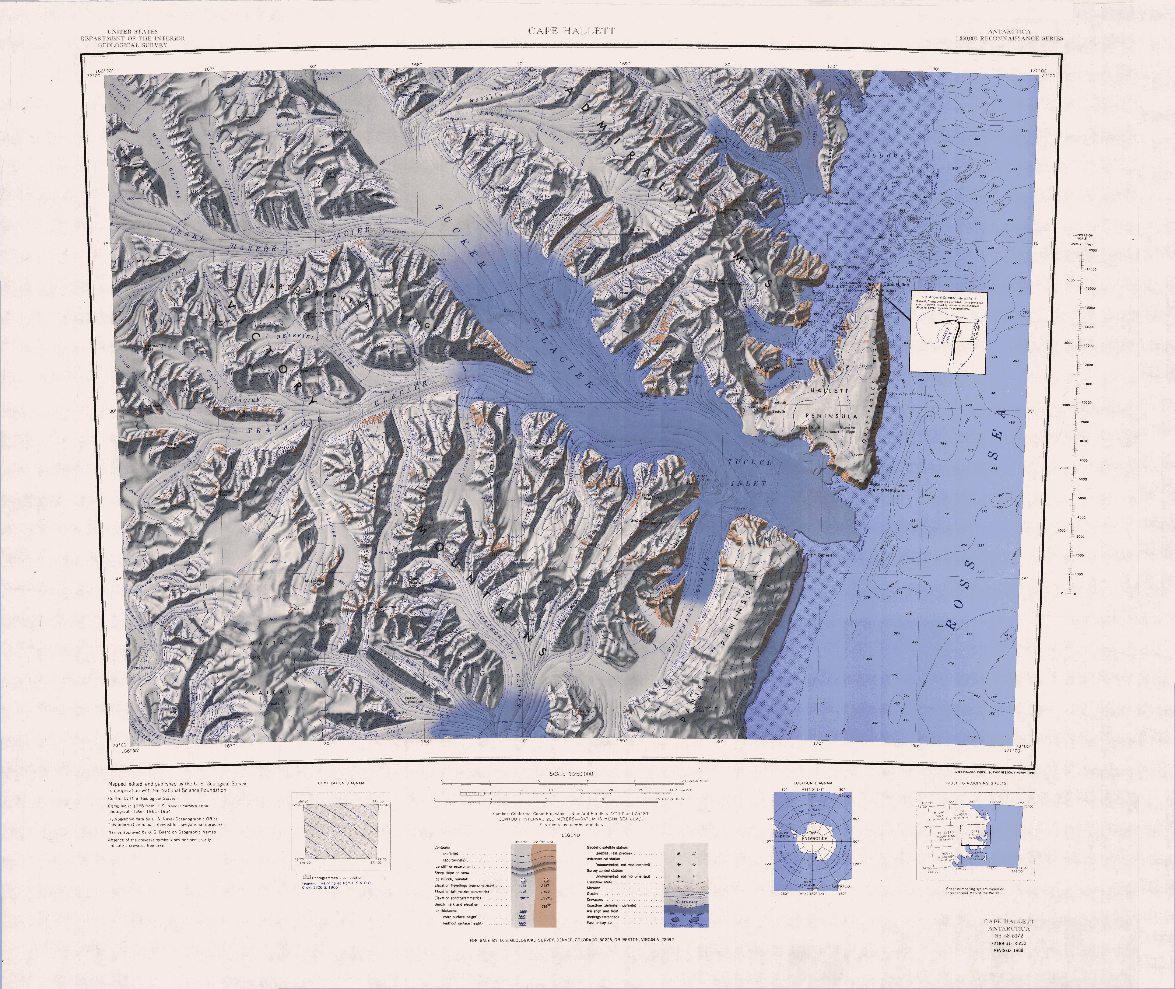
Mount Pearigen (72°1′S 168°50′E) is a prominent mountain (3,020 m) standing 6 nautical miles (11 km) northwest of Mount Hart in the Admiralty Mountains. Mapped by United States Geological Survey (USGS) from surveys and U.S. Navy air photos, 1960–64. Named by Advisory Committee on Antarctic Names (US-ACAN) for Lieutenant Commander Jare M. Pearigen, U.S. Navy, helicopter pilot in Operation Deep Freeze 1968, 1969 and 1970.
![]() This article incorporates public domain material from the United States Geological Survey document: "Mount Pearigen". (content from the Geographic Names Information System)
This article incorporates public domain material from the United States Geological Survey document: "Mount Pearigen". (content from the Geographic Names Information System)
This Borchgrevink Coast location article is a stub. You can help Wikipedia by expanding it. |
На других языках
[de] Mount Pearigen
Mount Pearigen ist ein markanter und 3020 m hoher Berg im ostantarktischen Viktorialand. Er ragt 10 km nordwestlich des Mount Hart in den Admiralitätsbergen auf.- [en] Mount Pearigen
Текст в блоке "Читать" взят с сайта "Википедия" и доступен по лицензии Creative Commons Attribution-ShareAlike; в отдельных случаях могут действовать дополнительные условия.
Другой контент может иметь иную лицензию. Перед использованием материалов сайта WikiSort.org внимательно изучите правила лицензирования конкретных элементов наполнения сайта.
Другой контент может иметь иную лицензию. Перед использованием материалов сайта WikiSort.org внимательно изучите правила лицензирования конкретных элементов наполнения сайта.
2019-2026
WikiSort.org - проект по пересортировке и дополнению контента Википедии
WikiSort.org - проект по пересортировке и дополнению контента Википедии