geo.wikisort.org - Mountains
Mount Nuang (Malay: Gunung Nuang) is located in Malaysia with the height of 1,493 metres (4,898 ft). Its peak borders Pahang and Selangor state and is close to the Pahang-Selangor-Negeri Sembilan border tripoint. The mountain itself is the second highest point in Selangor (highest is Gunung Semangkok) and part of the Titiwangsa Mountains.
| Mount Nuang | |
|---|---|
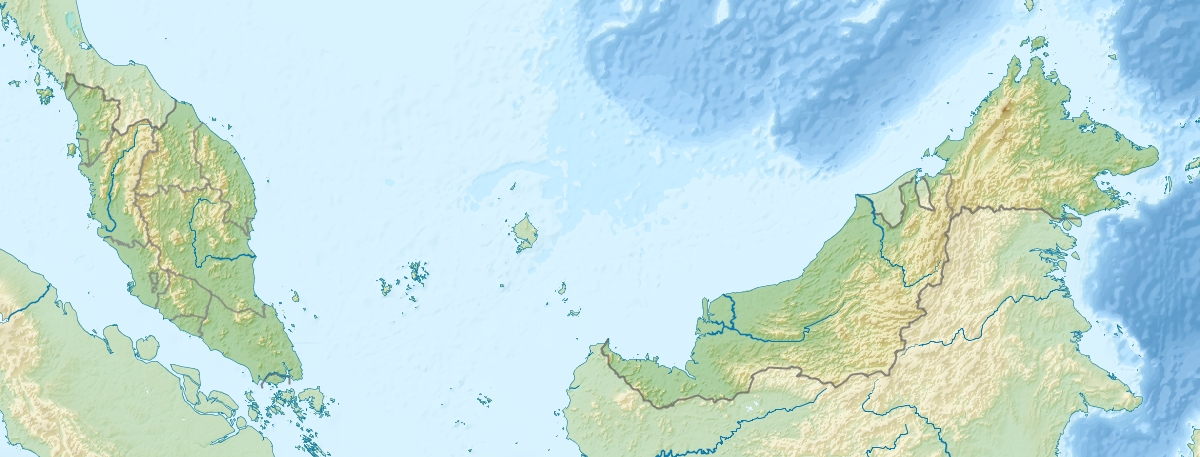 Mount Nuang Location in Malaysia | |
| Highest point | |
| Elevation | 1,493 m (4,898 ft) |
| Coordinates | 3.26667°N 101.9°E |
| Geography | |
| Location | Bentong District, Pahang Hulu Langat District, Selangor |
| Parent range | Titiwangsa Mountains |
There are three hiking routes to the peak and all of them were built by Malaysian Department of Wildlife and National Parks. Two of them start in Selangor; one at Kuala Pangsoon in Hulu Langat and another at Kampung Kemensah in Gombak. The third path originates from Bukit Tinggi in Bentong, Pahang. Genting Highlands is visible at night from the peak. On the Kuala Pangsoon rout, the climb involves a two-hour hike on a very steep road, then an optional stop at "Camp Lolo", and after that there is a six-hour push to the peak, and a four-hour trek to the ground.
Gallery
 Border stone in Mount Nuang hiking track. Marks the boundary between Selangor and Pahang.
 View just before reaching Mount Nuang's peak.


See also
- Bukit Tabur (Taman Melawati Hill)
- List of mountains in Malaysia
References
This article does not cite any sources. (July 2008) |
This article related to a mountain in Malaysia is a stub. You can help Wikipedia by expanding it. |
This Pahang location article is a stub. You can help Wikipedia by expanding it. |
This Selangor location article is a stub. You can help Wikipedia by expanding it. |
Другой контент может иметь иную лицензию. Перед использованием материалов сайта WikiSort.org внимательно изучите правила лицензирования конкретных элементов наполнения сайта.
WikiSort.org - проект по пересортировке и дополнению контента Википедии