geo.wikisort.org - Mountains
Mount Jerai (Malay: Gunung Jerai), formerly Kedah Peak, is a mountain in Kedah, Malaysia with the height of 3,854 feet (1,175 m). Within Kedah itself, the mountain stands at the border of Kuala Muda and Yan districts. The mountain is a massive limestone outcrop and is a lone feature from the surrounding geography of the area. There is an information board on top of the mountain stating that it used to be an island called Pulai Serai before the sea levels receded letting it form a mountain. This is probably supported by I Ching's record of Pu Lou Shi (Pulau Sri), a country located west of Sribogha.[1]
This article needs additional citations for verification. (March 2016) |
| Mount Jerai | |
|---|---|
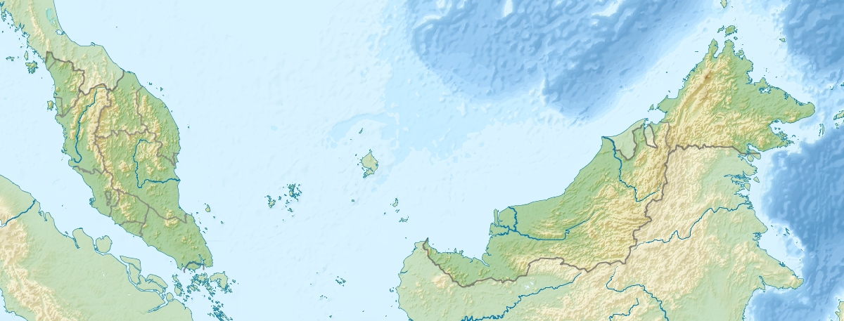
 Mount Jerai is the isolated greenish triangle at the upper middle of this heightmap | |
| Highest point | |
| Elevation | 1,217 m (3,993 ft) |
| Listing | Ribu |
| Geography | |
 Mount Jerai Kuala Muda and Yan Districts, Kedah | |
| Country | |
| State | |
| Geology | |
| Mountain type | Inselberg |
| Climbing | |
| First ascent | local Kedahans |

Mount Jerai is known as the hausberg of the town of Sungai Petani, the district capital of Kuala Muda.
See also
- List of mountains in Malaysia
- Geography of Malaysia
References
- i-Tsing (2005). A Record of the Buddhist Religion as Practiced in India and the Malay ... - I-Tsing - Google Books. ISBN 9788120616226. Retrieved 2016-04-15.
This Kedah location article is a stub. You can help Wikipedia by expanding it. |
Другой контент может иметь иную лицензию. Перед использованием материалов сайта WikiSort.org внимательно изучите правила лицензирования конкретных элементов наполнения сайта.
WikiSort.org - проект по пересортировке и дополнению контента Википедии