geo.wikisort.org - Mountains
Mount Inverleith (64°55′S 62°45′W) is a mountain, 1,495 meters (4,900 ft) high, overlooking Andvord Bay, located roughly five miles due south of the bay's southern shoreline (Lester Cove). Mount Inverleith is flanked by Dallmeyer Peak to the north and by the Grubb Glacier and Bagshawe Glaciers to the west.
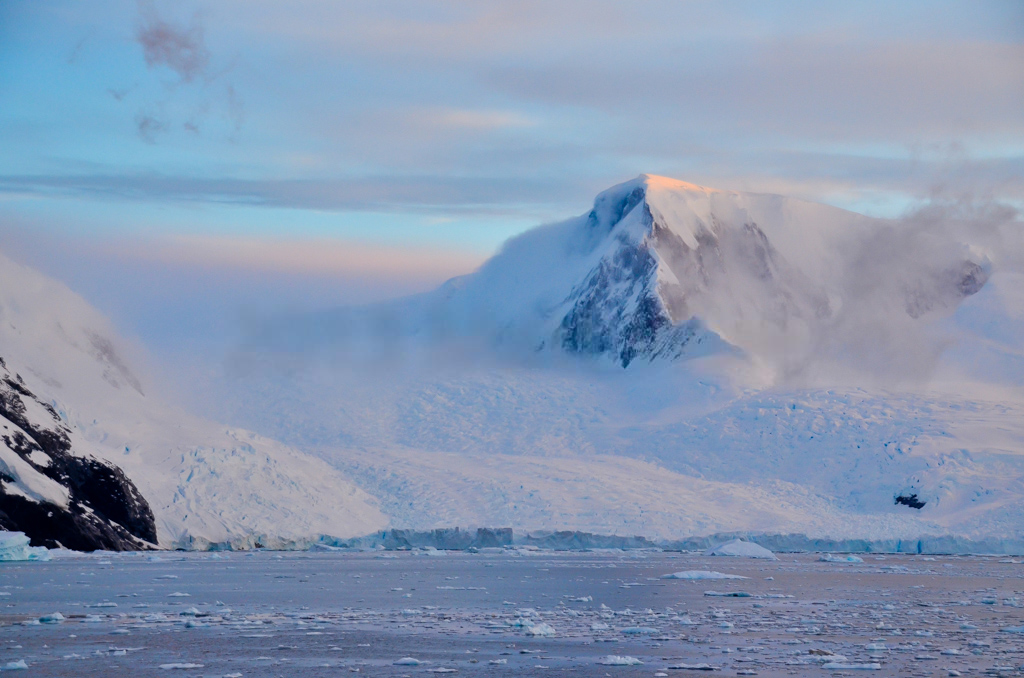

It is located roughly 9.5 miles southwest of Brown Station, on Danco Coast in western Graham Land, Antarctica.
The mountain was first charted and named "Iverleith Hill" by Scottish geologist David Ferguson in 1913–14.[1]
References
- "Inverleith, Mount". Geographic Names Information System. United States Geological Survey, United States Department of the Interior. Retrieved 2012-07-09.
![]() This article incorporates public domain material from the United States Geological Survey document: "Inverleith, Mount". (content from the Geographic Names Information System)
This article incorporates public domain material from the United States Geological Survey document: "Inverleith, Mount". (content from the Geographic Names Information System)
External links
- Current weather conditions
- Photograph of northern slope facing Paradise Bay
This Danco Coast location article is a stub. You can help Wikipedia by expanding it. |
На других языках
[de] Mount Inverleith
Mount Inverleith ist ein 1495 m hoher Berg an der Danco-Küste des Grahamlands im Norden der Antarktischen Halbinsel. Er ragt nahe dem Rand einer Geländestufe 3 km ostnordöstlich des Kopfendes der Skontorp Cove auf.- [en] Mount Inverleith
Другой контент может иметь иную лицензию. Перед использованием материалов сайта WikiSort.org внимательно изучите правила лицензирования конкретных элементов наполнения сайта.
WikiSort.org - проект по пересортировке и дополнению контента Википедии