geo.wikisort.org - Mountains
Mount Hombori (Hombori Tondo) is a mountain in Mali's Mopti Region, near the town of Hombori. At 1,155 meters, it is the highest point in Mali.
| Mount Hombori | |
|---|---|
 Hombori Tondo | |
| Highest point | |
| Elevation | 1,155 m (3,789 ft)[1] |
| Listing | Country high point |
| Coordinates | 15°15′26″N 1°40′08″W |
| Geography | |
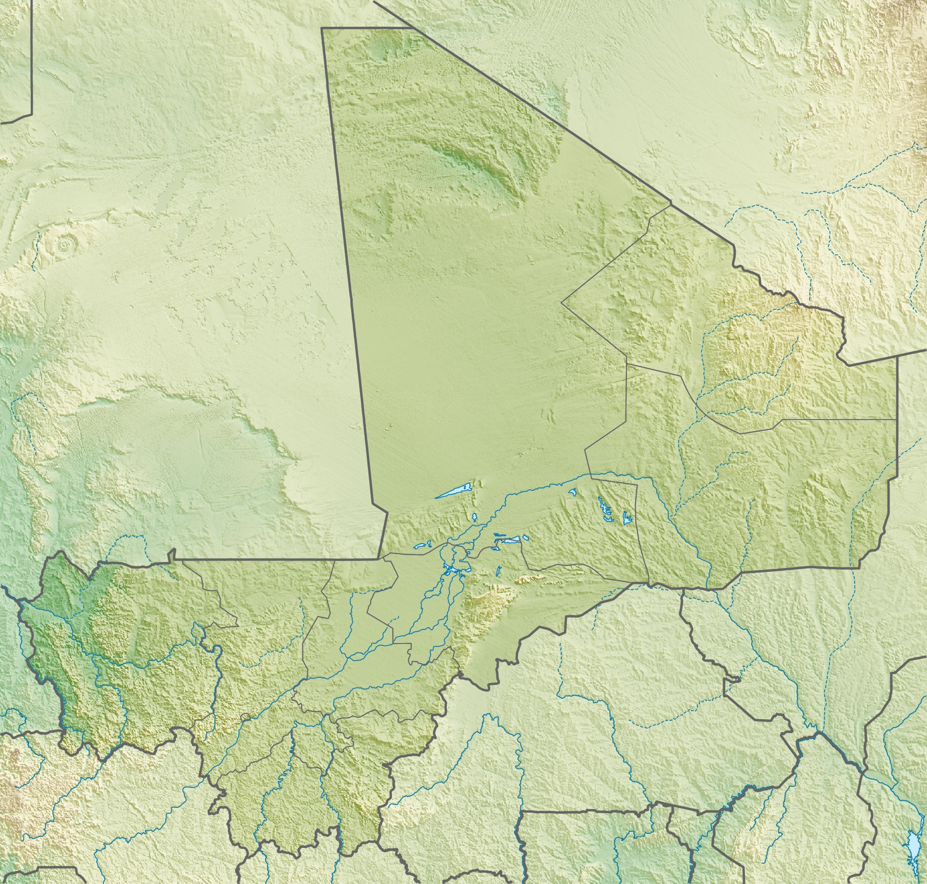 Mount Hombori Location of Mount Hombori in Mali | |
| Location | Mali |
| Part of a series on |
| Traditional African religions |
|---|
 |
|
Biodiversity
Mount Hombori is an important location for biodiversity in the Sahel, with 150 different species of plants along with various species of mammals, birds, reptiles, and insects on its two-square-kilometer plateau surface.
Flora
In contrast to the surface of the plateau, the surrounding 10,000 square kilometers of flatlands contain only about 200 different species of plants. A major contributing factor to Hombori's biodiversity is a lack of cattle grazing at the summit, which is protected on all sides by sheer cliffs. For many species of plants, including Bombax costatum, Hombori is the northernmost point of their distribution, demonstrating its importance as a haven for many southern species. [2]
Fauna
Mount Hombori is home to some animal species, namely reptiles and birds, but also some species of mammals including the rock hyrax and olive baboon. [3]


Archaeology
Mount Hombori is a significant archaeological site, with caves inhabited more than 2,000 years ago.
See also
- Dogon people
- Toloy
- Tellem
- Dogon religion
References
- "Hombori Tondo" on Peakbagger.com Retrieved 2 October 2011
- "Projet Hombori: biodiversity". www.hombori.org. Retrieved 2017-10-31.
- "Fauna - complementary informations". www.hombori.org. Retrieved 2017-10-30.
Dogon topics | |||||
|---|---|---|---|---|---|
| People |
|  | |||
| Religion |
| ||||
| History |
| ||||
| Demographic |
| ||||
| Culture |
| ||||
This Mopti Region location article is a stub. You can help Wikipedia by expanding it. |
На других языках
[de] Hombori Tondo
Der Hombori Tondo ist mit 1153 Meter der höchste Berg Malis. Der Tafelberg liegt in direkter Nachbarschaft des Ortes Hombori an der Straße von Gao nach Mopti und bildet das nördliche Ende des Bandiagara-Felsmassivs.- [en] Mount Hombori
[fr] Monts Hombori
Les monts Hombori constituent un massif rocheux situé dans le prolongement de la falaise de Bandiagara dans la région de Mopti au Mali, près du village d'Hombori à environ 150 km de la ville de Douentza. Culminant à 1 155 mètres, le Hombori Tondo est le sommet le plus élevé du Mali.[ru] Хомбори (гора)
Хомбори́, ранее Хомбори-Тондо[2] (фр. Monts Hombori) — самая высокая гора в Республике Мали, высота которой составляет 1155 метров. Имеет плоскую, как бы срезанную вершину. Расположена в центральной части страны, в провинции Мопти, на трассе между городами Гао и Мопти, близ городка Хомбори. Гора Хомбори относится к самой северной части нагорья Бандиагара[источник не указан 2497 дней].Другой контент может иметь иную лицензию. Перед использованием материалов сайта WikiSort.org внимательно изучите правила лицензирования конкретных элементов наполнения сайта.
WikiSort.org - проект по пересортировке и дополнению контента Википедии