geo.wikisort.org - Mountains
Mount Chamah is located in the Titiwangsa Mountain Range in the northwest of Kelantan, Malaysia. It is the fifth highest mountain in the Malay Peninsula, and is one of the peninsula's mountains above 2,172 metres (7,126 ft).[1] It is the highest point in the state of Kelantan.
This article's tone or style may not reflect the encyclopedic tone used on Wikipedia. (November 2008) |
| Mount Chamah | |
|---|---|
| Gunung Chamah | |
 Sunrise on the summit | |
| Highest point | |
| Elevation | 2,172[1] m (7,126 ft) |
| Listing | Ribu |
| Coordinates | 5°13′43.34″N 101°34′24.41″E |
| Geography | |
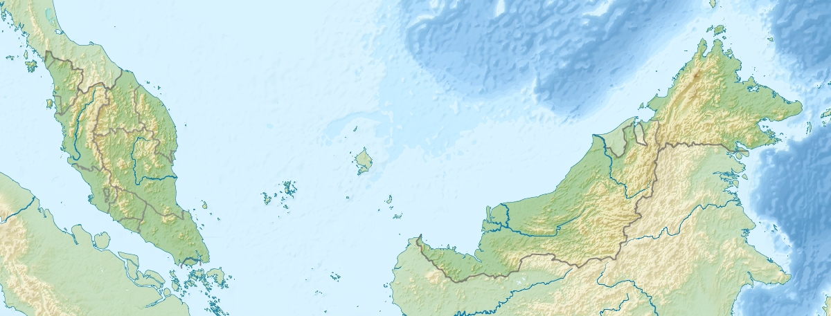 Mount Chamah Kelantan, Malaysia | |
| Parent range | Titiwangsa Mountains |
| Climbing | |
| Easiest route | Rekom Trail |
During the period of the communist insurgency, this area was out of bounds for ordinary citizens. However, after the peace agreement between the Malaysian government and the communists signed in Hat Yai in the 1980s, the authorities began to relax their rules on jungle trekking in the Titiwangsa Range.[citation needed]
Mount Chamah is said to be of the more difficult mountains to trek due to limited access points. However, the place is rather untouched, and tigers still inhabit the mountain.
See also
References
- Malayan Nature Society (2001). Malaysian Naturalist. Malaysian Nature Society. p. 14. Retrieved 2022-11-01.
This Kelantan location article is a stub. You can help Wikipedia by expanding it. |
This article related to a mountain in Malaysia is a stub. You can help Wikipedia by expanding it. |
Другой контент может иметь иную лицензию. Перед использованием материалов сайта WikiSort.org внимательно изучите правила лицензирования конкретных элементов наполнения сайта.
WikiSort.org - проект по пересортировке и дополнению контента Википедии