geo.wikisort.org - Mountains
Mount Bruce is the second highest mountain in the state of Western Australia.
| Mount Bruce | |
|---|---|
| Punurrunha | |
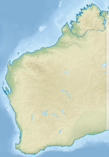 Mount Bruce Pilbara region, Western Australia | |
| Highest point | |
| Elevation | 1,234 m (4,049 ft) |
| Coordinates | 22°34′05″S 118°04′34″E |
| Geography | |
| Location | Pilbara region, Western Australia |
| Parent range | Hamersley Range |
Mount Bruce lies 62 kilometres (39 mi) northwest of Mount Meharry, the highest peak in the state. It is a part of the Hamersley Range in the Pilbara. A number of walks exist on the mountain including the relatively easy Marandoo walk that offers a view over the Marandoo minesite, the more difficult Honey Hakea walk and the summit track.
Mount Bruce reaches 1,234 m (4,049 ft), being 15 m (49 ft) lower than Mount Meharry.
The Aboriginal name for the mountain is Punurrunha.[1]
References
- "Mount Bruce (Punurrunha)". Drive WA. 2010. Archived from the original on 15 April 2016. Retrieved 2 June 2011.
This article about a location in Western Australia is a stub. You can help Wikipedia by expanding it. |
Текст в блоке "Читать" взят с сайта "Википедия" и доступен по лицензии Creative Commons Attribution-ShareAlike; в отдельных случаях могут действовать дополнительные условия.
Другой контент может иметь иную лицензию. Перед использованием материалов сайта WikiSort.org внимательно изучите правила лицензирования конкретных элементов наполнения сайта.
Другой контент может иметь иную лицензию. Перед использованием материалов сайта WikiSort.org внимательно изучите правила лицензирования конкретных элементов наполнения сайта.
2019-2026
WikiSort.org - проект по пересортировке и дополнению контента Википедии
WikiSort.org - проект по пересортировке и дополнению контента Википедии