geo.wikisort.org - Mountains
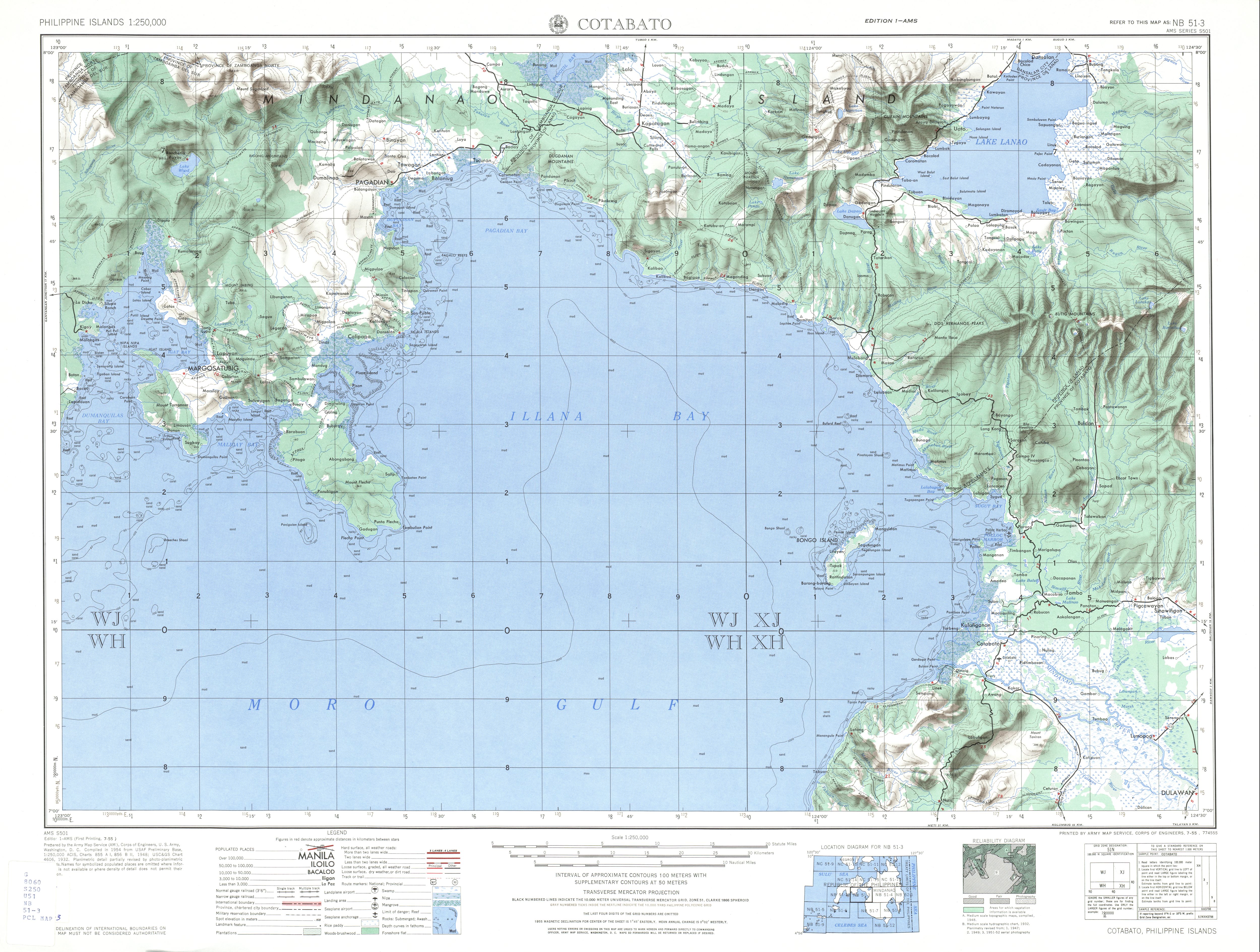
Mount Baya is a dormant volcano in the municipality of Ganassi in Lanao del Sur province, Philippines. The mountain has a peak elevation of 1,484 meters (4,869 ft) rising from a plateau of about 950 meters (3,120 ft). It is located about 4 kilometers (2.5 mi) east of Lake Dapao and about 4.5 kilometers (2.8 mi) southwest of Lake Lanao.[1] Between Lake Dapao and Mount Baya is Mount Gadungan, another inactive volcano.[2]
| Mount Baya | |
|---|---|
 Mount Baya  Mount Baya | |
| Highest point | |
| Elevation | 1,484 m (4,869 ft)[1] |
| Listing | Inactive volcanoes in the Philippines |
| Coordinates | 7°47′11″N 124°5′48″E |
| Geography | |
| Country | Philippines |
| Province | Lanao del Sur |
| Region | Bangsamoro |
| City/municipality | Ganassi |
| Geology | |
| Mountain type | Cinder cone |
| Last eruption | Unknown |
The Philippine Institute of Volcanology and Seismology (PHIVOLCS) lists Mount Baya as Inactive.[3]
See also
- List of volcanoes in the Philippines
- Northern Mindanao
References
- U.S. Army Corps of Engineer (1948). "Cotabato (topographic map)". University of Texas Library in Austin. Retrieved on 2013-11-15.
- "List of Inactive Volcanoes Part 3" Archived 2015-09-24 at the Wayback Machine. Philippines Institute of Volcanology and Seismology. Retrieved on 2013-11-15.
- "List of Inactive Volcanoes Part 1" Archived 2015-09-24 at the Wayback Machine. Philippines Institute of Volcanology and Seismology. Retrieved on 2013-11-15.
External links
Текст в блоке "Читать" взят с сайта "Википедия" и доступен по лицензии Creative Commons Attribution-ShareAlike; в отдельных случаях могут действовать дополнительные условия.
Другой контент может иметь иную лицензию. Перед использованием материалов сайта WikiSort.org внимательно изучите правила лицензирования конкретных элементов наполнения сайта.
Другой контент может иметь иную лицензию. Перед использованием материалов сайта WikiSort.org внимательно изучите правила лицензирования конкретных элементов наполнения сайта.
2019-2026
WikiSort.org - проект по пересортировке и дополнению контента Википедии
WikiSort.org - проект по пересортировке и дополнению контента Википедии