geo.wikisort.org - Mountains
Mount Angsi (Malay: Gunung Angsi) is a mountain which is located between the border between Ulu Bendul, Kuala Pilah District and Senawang, Seremban District in Negeri Sembilan, Malaysia. Part of the Titiwangsa Mountains, it is the sixth tallest mountain in the state, behind Mts. Besar Hantu, Berembun, Telapak Buruk, Datuk and Bintongan, with an elevation of 2,707 feet (825 m).[2]
| Mount Angsi | |
|---|---|
 West face of Angsi, seen from Seremban | |
| Highest point | |
| Elevation | 825[1] m (2,707 ft) |
| Prominence | 825 m (2,707 ft) |
| Coordinates | 2°41′54″N 102°02′53″E |
| Naming | |
| Native name | Gunung Angsi (Malay) |
| Geography | |
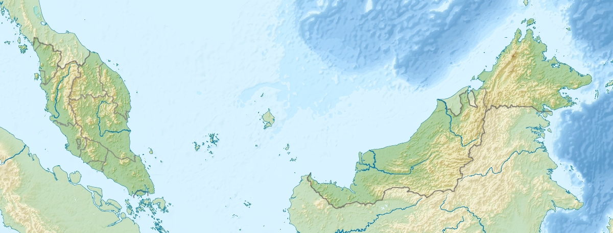 Mount Angsi Location in Malaysia | |
| Location | Kuala Pilah and Seremban Districts, Negeri Sembilan |
| Parent range | Titiwangsa Mountains |
| Climbing | |
| Easiest route | Hiking |
References
- Yusup, Aznim (22 August 2017). "#FightingFit: Climb up Angsi". New Straits Times. Archived from the original on 22 August 2017. Retrieved 2 May 2021.
- Savitha, Anne (7 April 2022). "Puchong girl Kalira, 14, who just conquered Annapurna base camp, eyeing Everest base camp next year". Malay Mail. Archived from the original on 7 April 2022. Retrieved 2 May 2021.
Текст в блоке "Читать" взят с сайта "Википедия" и доступен по лицензии Creative Commons Attribution-ShareAlike; в отдельных случаях могут действовать дополнительные условия.
Другой контент может иметь иную лицензию. Перед использованием материалов сайта WikiSort.org внимательно изучите правила лицензирования конкретных элементов наполнения сайта.
Другой контент может иметь иную лицензию. Перед использованием материалов сайта WikiSort.org внимательно изучите правила лицензирования конкретных элементов наполнения сайта.
2019-2026
WikiSort.org - проект по пересортировке и дополнению контента Википедии
WikiSort.org - проект по пересортировке и дополнению контента Википедии