geo.wikisort.org - Mountains
The Moosic Mountains is a mountain range in northeastern Pennsylvania that stretches from Scranton to Mount Pleasant Township, a distance of roughly 32 miles.[1] The high point of the range is in Jefferson Township, at an elevation of 2,323 feet (708 meters) above sea level, which is the highest point in the Pocono Plateau, ranking 27th highest in Pennsylvania.[2]
| Moosic Mountains | |
|---|---|
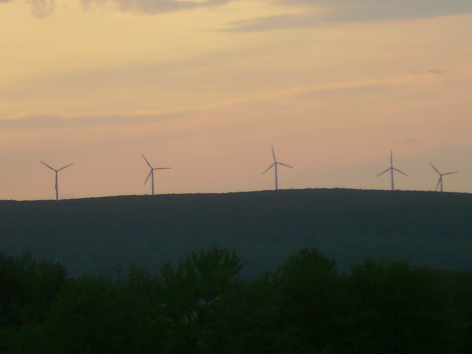 Wind turbines on High Knob in the Moosic Mountains | |
| Highest point | |
| Elevation | 2,323 ft (708 m) |
| Coordinates | 41°29′42″N 75°28′22.8″W |
| Geography | |
 Moosic Mountains Moosic Mountains in Pennsylvania | |
| Country | |
| Region | Pennsylvania |
References
- "Moosic Mountains Topo Map in Wayne County PA". Topozone. Locality, LLC. Retrieved 22 April 2017.
- name=peakbagger.com>"Moosic Mountains High Point, Pennsylvania". Peakbagger.com. 2004-11-01. Retrieved 2011-07-24.
This Lackawanna County, Pennsylvania state location article is a stub. You can help Wikipedia by expanding it. |
This Wayne County, Pennsylvania state location article is a stub. You can help Wikipedia by expanding it. |
Текст в блоке "Читать" взят с сайта "Википедия" и доступен по лицензии Creative Commons Attribution-ShareAlike; в отдельных случаях могут действовать дополнительные условия.
Другой контент может иметь иную лицензию. Перед использованием материалов сайта WikiSort.org внимательно изучите правила лицензирования конкретных элементов наполнения сайта.
Другой контент может иметь иную лицензию. Перед использованием материалов сайта WikiSort.org внимательно изучите правила лицензирования конкретных элементов наполнения сайта.
2019-2026
WikiSort.org - проект по пересортировке и дополнению контента Википедии
WikiSort.org - проект по пересортировке и дополнению контента Википедии