geo.wikisort.org - Mountains
Monte Rama is a mountain in Liguria, northern Italy, part of the Ligurian Apennines.
This article may be expanded with text translated from the corresponding article in Italian. (March 2010) Click [show] for important translation instructions.
|
| Monte Rama | |
|---|---|
 | |
| Highest point | |
| Elevation | 1,150 m (3,770 ft) |
| Coordinates | 44°25′40″N 8°37′07″E |
| Geography | |
 Monte Rama Location in Italy | |
| Location | Liguria, Italy |
| Parent range | Ligurian Apennines |
Geography
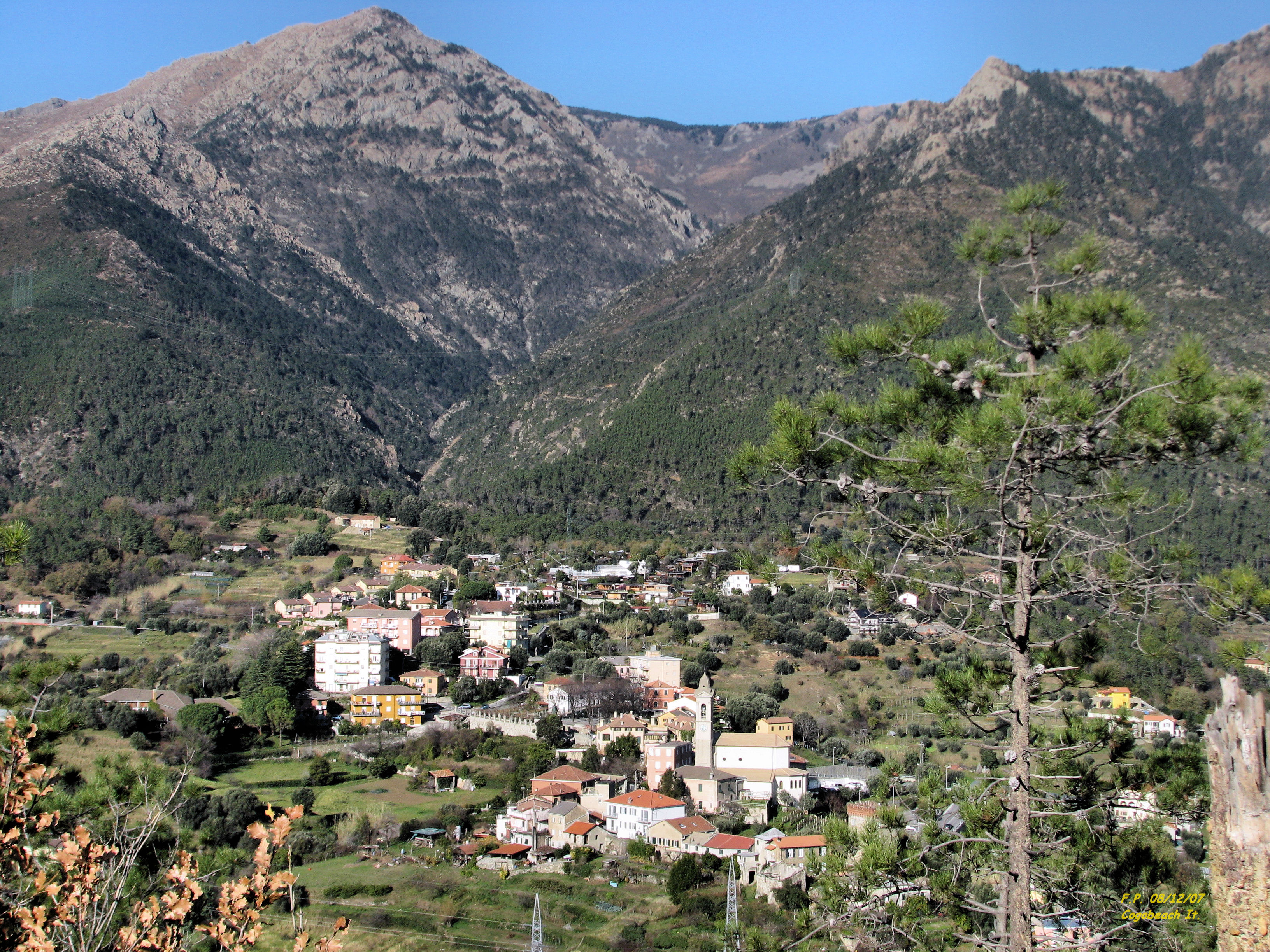
The mountain is located in the province of Genova, in Liguria, and belongs to the municipality of Cogoleto. It stands on a brief ridge which, starting from the main chain of the Apennines near Rocca del Lago, heads south-east towards the Ligurian Sea and after Cima Fontanaccia reaches the Monte Rama.[1]
Access to the summit
Monte Rama summit can be reached from Sant'Anna Chapel (near Lerca of Cogoleto) following a signposted foothpath with a walk of around 2.30 hours.[2]
Nature conservation
The mountain is included in the Parco naturale regionale del Beigua.[3]
References
- Istituto Geografico Centrale - Carta dei sentieri 1:50.000 n. 16 Genova - Varazze -Ovada
- Monte Rama (via diretta), hike description on www.parodieditore.it (access:July 2015)
- Parco Naturale Regional del Beigua (in Italian, English, German, and French)
![]() Media related to Monte Rama at Wikimedia Commons
Media related to Monte Rama at Wikimedia Commons
This Liguria location article is a stub. You can help Wikipedia by expanding it. |
На других языках
- [en] Monte Rama
[it] Monte Rama
Il monte Rama è una montagna dell'Appennino ligure, alta 1148 m s.l.m..[1]Текст в блоке "Читать" взят с сайта "Википедия" и доступен по лицензии Creative Commons Attribution-ShareAlike; в отдельных случаях могут действовать дополнительные условия.
Другой контент может иметь иную лицензию. Перед использованием материалов сайта WikiSort.org внимательно изучите правила лицензирования конкретных элементов наполнения сайта.
Другой контент может иметь иную лицензию. Перед использованием материалов сайта WikiSort.org внимательно изучите правила лицензирования конкретных элементов наполнения сайта.
2019-2026
WikiSort.org - проект по пересортировке и дополнению контента Википедии
WikiSort.org - проект по пересортировке и дополнению контента Википедии