geo.wikisort.org - Mountains
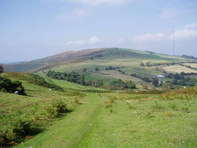
Moel y Parc (sometimes written as Moel-y-Parc) is a hill on the border between Denbighshire and Flintshire in Wales. It is one of the Clwydian Hills, rising 398 metres (1,306 ft) above sea level and is located at OS grid reference SJ114703. There is a television mast near the summit. The summit marks the boundary of Aberwheeler and Ysceifiog communities, and is the site of a cairn and tumulus.
| Moel y Parc | |
|---|---|
| Highest point | |
| Elevation | 398 m (1,306 ft) |
| Prominence | 91 m (299 ft) |
| Parent peak | Moel y Gamelin |
| Listing | Sub-HuMP |
| Geography | |
| Location | Denbighshire, Flintshire |
| Parent range | Clwydian Range |
External links
| Principal settlements |
|  |
|---|---|---|
| Towns and villages |
| |
| Geography |
| |
| Parliamentary representation |
| |
| Community councils |
| |
| Topics |
| |
Текст в блоке "Читать" взят с сайта "Википедия" и доступен по лицензии Creative Commons Attribution-ShareAlike; в отдельных случаях могут действовать дополнительные условия.
Другой контент может иметь иную лицензию. Перед использованием материалов сайта WikiSort.org внимательно изучите правила лицензирования конкретных элементов наполнения сайта.
Другой контент может иметь иную лицензию. Перед использованием материалов сайта WikiSort.org внимательно изучите правила лицензирования конкретных элементов наполнения сайта.
2019-2026
WikiSort.org - проект по пересортировке и дополнению контента Википедии
WikiSort.org - проект по пересортировке и дополнению контента Википедии