geo.wikisort.org - Mountains
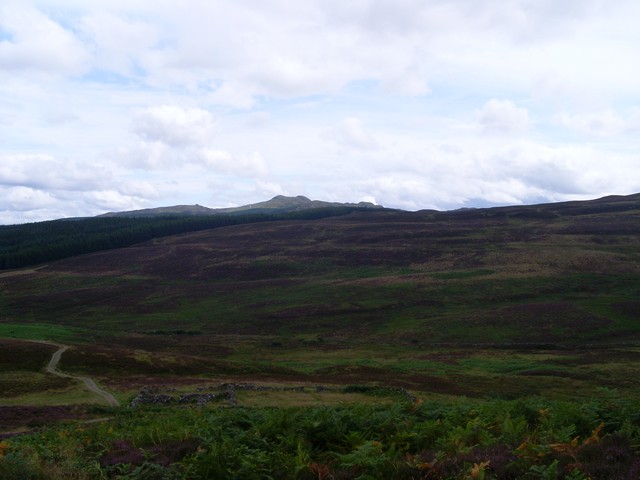
Meall Tairneachan (787 m) is a mountain in the Grampian Mountains of Scotland, located northwest of Aberfeldy in Perthshire.
| Meall Tairneachan | |
|---|---|
 Meall Tairneachan | |
| Highest point | |
| Elevation | 787 m (2,582 ft)[1] |
| Prominence | 420 m (1,380 ft) |
| Listing | Corbett, Marilyn |
| Coordinates | 56°39′57″N 3°56′52″W |
| Geography | |
| Location | Perthshire, Scotland |
| Parent range | Grampian Mountains |
| OS grid | NN807543 |
| Topo map | OS Landranger 52 |
The peak lies in an area of rocky and rolling moors between Loch Tummel and Aberfeldy. A baryte mine is located close to its summit.[2]
References
- "Meall Tairneachan". hill-bagging.co.uk. Retrieved 30 May 2019.
- "walkhighlands Meall Tairneachan". walkhighlands.co.uk. Retrieved 30 May 2019.
This Scottish location article is a stub. You can help Wikipedia by expanding it. |
Текст в блоке "Читать" взят с сайта "Википедия" и доступен по лицензии Creative Commons Attribution-ShareAlike; в отдельных случаях могут действовать дополнительные условия.
Другой контент может иметь иную лицензию. Перед использованием материалов сайта WikiSort.org внимательно изучите правила лицензирования конкретных элементов наполнения сайта.
Другой контент может иметь иную лицензию. Перед использованием материалов сайта WikiSort.org внимательно изучите правила лицензирования конкретных элементов наполнения сайта.
2019-2026
WikiSort.org - проект по пересортировке и дополнению контента Википедии
WikiSort.org - проект по пересортировке и дополнению контента Википедии