geo.wikisort.org - Mountains
Meall Odhar is a mountain in the Scottish Highlands, situated about 3 km to the west of Tyndrum, close to the northern boundary of the Loch Lomond and the Trossachs National Park. Meall Odhar is part of the Tyndrum Hills. With a height of 656 m and a drop of 183 m, it is listed as a Marilyn and a Graham.[2] The name Meall Odhar is from the Gaelic for "dun-coloured round hill".
| Meall Odhar | |
|---|---|
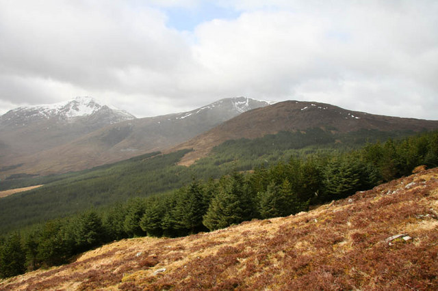 Meall Odhar is the forested hill on the right. | |
| Highest point | |
| Elevation | 656 m (2,152 ft)[1] |
| Prominence | 183 m (600 ft) |
| Listing | Graham, Marilyn |
| Geography | |
| Location | Stirling, Scotland |
| Parent range | Grampian Mountains |
| OS grid | NN29797289 |
| Topo map | OS Landranger 50 |
References
- "Meall Odhar". hill-bagging.co.uk. Retrieved 14 May 2019.
- Database of British and Irish Hills. Retrieved 21 Jan 2012.
This Stirling location article is a stub. You can help Wikipedia by expanding it. |
Текст в блоке "Читать" взят с сайта "Википедия" и доступен по лицензии Creative Commons Attribution-ShareAlike; в отдельных случаях могут действовать дополнительные условия.
Другой контент может иметь иную лицензию. Перед использованием материалов сайта WikiSort.org внимательно изучите правила лицензирования конкретных элементов наполнения сайта.
Другой контент может иметь иную лицензию. Перед использованием материалов сайта WikiSort.org внимательно изучите правила лицензирования конкретных элементов наполнения сайта.
2019-2026
WikiSort.org - проект по пересортировке и дополнению контента Википедии
WikiSort.org - проект по пересортировке и дополнению контента Википедии