geo.wikisort.org - Mountains
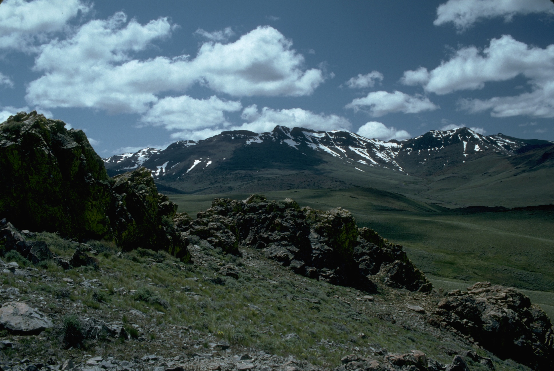
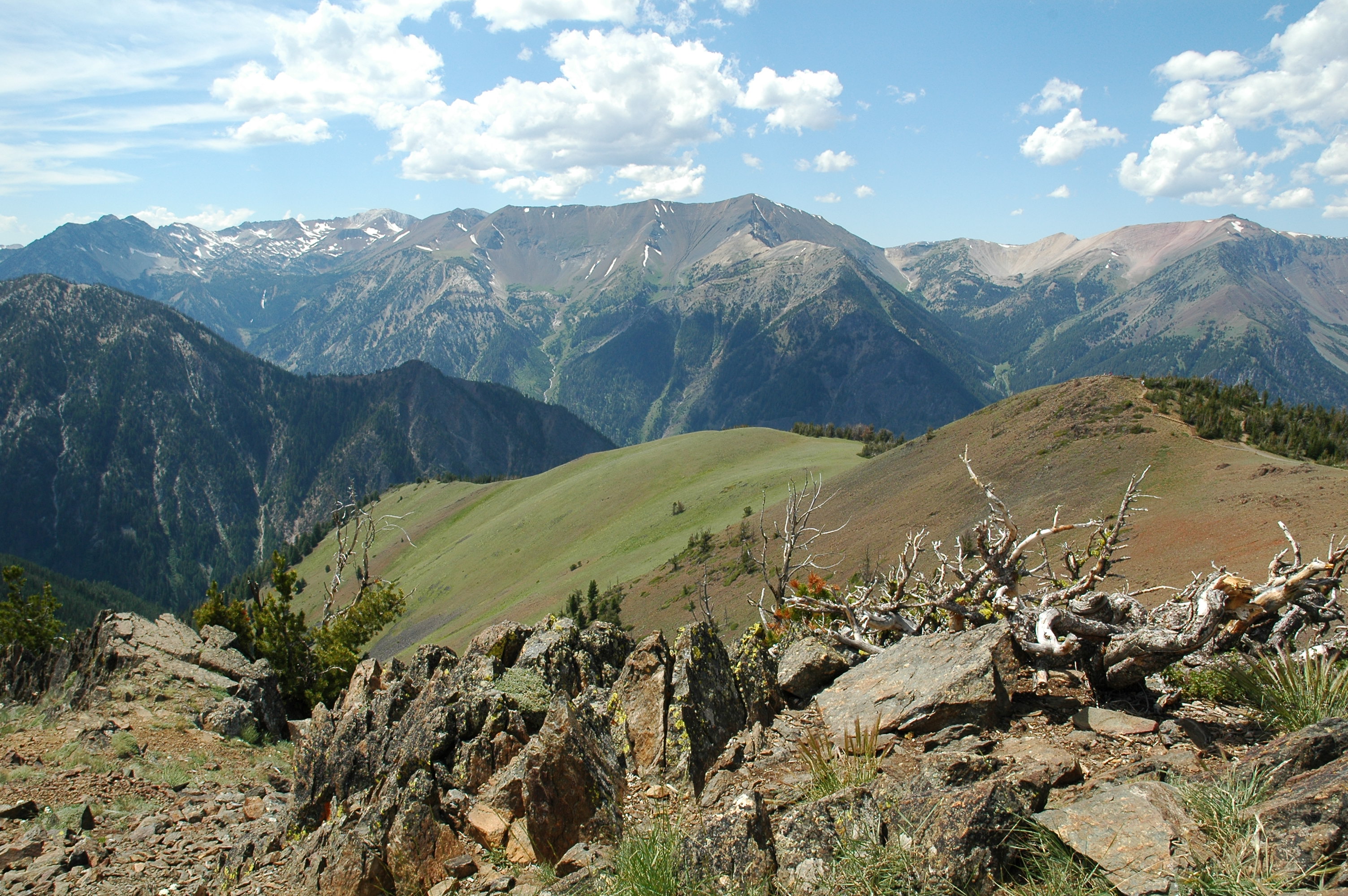
There are at least 50 named mountain ranges in the U.S. state of Oregon. Many of these ranges extend into the neighboring states of California, Idaho, Nevada, and Washington. Elevations and coordinates are from the U.S. Geological Survey, Geographic Names Information System, unless otherwise indicated.


See also
- List of mountains of Oregon
- Lists of Oregon-related topics
- List of mountain ranges of California
- List of mountain ranges of Nevada
Notes
- "Aldrich Mountains". Geographic Names Information System. United States Geological Survey, United States Department of the Interior.
- "Bilk Creek Mountains". Geographic Names Information System. United States Geological Survey.
- "Black Hills". Geographic Names Information System. United States Geological Survey.
- "Blue Mountains". Geographic Names Information System. United States Geological Survey.
- "Buck Mountain". Geographic Names Information System. United States Geological Survey.
- "Calapooya Mountains". Geographic Names Information System. United States Geological Survey.
- "Canby Mountains". Geographic Names Information System. United States Geological Survey.
- "Cardwell Hills". Geographic Names Information System. United States Geological Survey.
- "Cascade Range". Geographic Names Information System. United States Geological Survey.
- "Chehalem Mountains". Geographic Names Information System. United States Geological Survey.
- "Coburg Hills". Geographic Names Information System. United States Geological Survey.
- "Coleman Hills". Geographic Names Information System. United States Geological Survey.
- "Connley Hills". Geographic Names Information System. United States Geological Survey.
- "Cottonwood Mountain". Geographic Names Information System. United States Geological Survey.
- "Coyote Hills". Geographic Names Information System. United States Geological Survey.
- "Crooked Creek Range". Geographic Names Information System. United States Geological Survey.
- "Crowcamp Hills". Geographic Names Information System. United States Geological Survey.
- "Elkhorn Mountains". Geographic Names Information System. United States Geological Survey.
- "Eola Hills". Geographic Names Information System. United States Geological Survey.
- "Farley Hills". Geographic Names Information System. United States Geological Survey.
- "Gage Range". Geographic Names Information System. United States Geological Survey.
- "Grampian Hills". Geographic Names Information System. United States Geological Survey.
- "Grassy Range". Geographic Names Information System. United States Geological Survey.
- "Greenhorn Mountains". Geographic Names Information System. United States Geological Survey.
- "Hagerhorst Mountains". Geographic Names Information System. United States Geological Survey.
- "Horse Range". Geographic Names Information System. United States Geological Survey.
- "Hot Spring Hills". Geographic Names Information System. United States Geological Survey.
- "Klamath Mountains". Geographic Names Information System. United States Geological Survey.
- "Maury Mountains". Geographic Names Information System. United States Geological Survey.
- "Mosquito Mountain". Geographic Names Information System. United States Geological Survey.
- "Mutton Mountains". Geographic Names Information System. United States Geological Survey.
- "Ochoco Mountains". Geographic Names Information System. United States Geological Survey.
- "Oregon Canyon Mountains". Geographic Names Information System. United States Geological Survey.
- "Owyhee Mountains". Geographic Names Information System. United States Geological Survey.
- "Paulina Mountains". Geographic Names Information System. United States Geological Survey.
- "Pueblo Mountains". Geographic Names Information System. United States Geological Survey.
- "Red Hills of Dundee". Geographic Names Information System. United States Geological Survey.
- "Rogue River Range". Geographic Names Information System. United States Geological Survey.
- "Sage Hen Hills". Geographic Names Information System. United States Geological Survey.
- "Salem Hills". Geographic Names Information System. United States Geological Survey.
- "Sand Hills". Geographic Names Information System. United States Geological Survey.
- "Sheepshead Mountains". Geographic Names Information System. United States Geological Survey.
- "Mt Ashland". NGS Data Sheet. National Geodetic Survey, National Oceanic and Atmospheric Administration, United States Department of Commerce. Retrieved January 12, 2014.
- "Siskiyou Mountains". Geographic Names Information System. United States Geological Survey.
- "Strawberry". NGS Data Sheet. National Geodetic Survey, National Oceanic and Atmospheric Administration, United States Department of Commerce. Retrieved January 12, 2014.
- "Strawberry Range". Geographic Names Information System. United States Geological Survey.
- "Trout Creek Mountains". Geographic Names Information System. United States Geological Survey.
- "Virtue Hills". Geographic Names Information System. United States Geological Survey.
- "Wallowa Mountains". Geographic Names Information System. United States Geological Survey.
- "Whiskey Hills". Geographic Names Information System. United States Geological Survey.
- "White Horse Mountains". Geographic Names Information System. United States Geological Survey.
State of Oregon | |||||||||
|---|---|---|---|---|---|---|---|---|---|
Salem (capital) | |||||||||
| Topics |
| ||||||||
| Society |
| ||||||||
| Regions |
| ||||||||
| Metro areas |
| ||||||||
| Largest cities |
| ||||||||
| Counties | |||||||||
| |||||||||
Текст в блоке "Читать" взят с сайта "Википедия" и доступен по лицензии Creative Commons Attribution-ShareAlike; в отдельных случаях могут действовать дополнительные условия.
Другой контент может иметь иную лицензию. Перед использованием материалов сайта WikiSort.org внимательно изучите правила лицензирования конкретных элементов наполнения сайта.
Другой контент может иметь иную лицензию. Перед использованием материалов сайта WikiSort.org внимательно изучите правила лицензирования конкретных элементов наполнения сайта.
2019-2026
WikiSort.org - проект по пересортировке и дополнению контента Википедии
WikiSort.org - проект по пересортировке и дополнению контента Википедии