geo.wikisort.org - Mountains
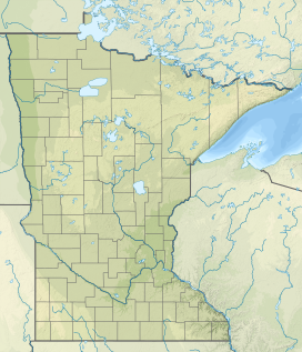
Lima Mountain is a 2238-foot summit in Cook County, Minnesota. It is located in the Lima Mountain Unit, a 2540-acre inventoried roadless area adjacent to the Boundary Waters Canoe Area.[1] There is a 1-mile trail to the summit, where a fire tower once stood.[2] Lima Mountain has a 328-foot rise over the saddle connecting it with the Misquah Hills High Point and Peak 2266.[3] A trail to the summit begins along the Lima Grade (Forest Route 315) just north of its junction with Lima Mountain Road (Forest Route 152)
| Lima Mountain | |
|---|---|
 Lima Mountain Cook County, Minnesota, U.S. | |
| Highest point | |
| Elevation | 2,238 ft (682 m) |
| Coordinates | 47°59′12.8394″N 90°24′12.9594″W |
| Geography | |
| Location | Cook County, Minnesota, U.S. |
| Parent range | Misquah Hills |
References
- Preserving the Canoe Country Heritage Archived 2012-04-25 at the Wayback Machine, Friends of the Boundary Waters Wilderness. p. 35 Retrieved May 31, 2012.
- North Shore Visitor, Fall Colors, accessed May 31, 2012.
- Mn Peak Stats, Lima Mountain, Accessed May 31, 2012.
Текст в блоке "Читать" взят с сайта "Википедия" и доступен по лицензии Creative Commons Attribution-ShareAlike; в отдельных случаях могут действовать дополнительные условия.
Другой контент может иметь иную лицензию. Перед использованием материалов сайта WikiSort.org внимательно изучите правила лицензирования конкретных элементов наполнения сайта.
Другой контент может иметь иную лицензию. Перед использованием материалов сайта WikiSort.org внимательно изучите правила лицензирования конкретных элементов наполнения сайта.
2019-2026
WikiSort.org - проект по пересортировке и дополнению контента Википедии
WikiSort.org - проект по пересортировке и дополнению контента Википедии