geo.wikisort.org - Mountains
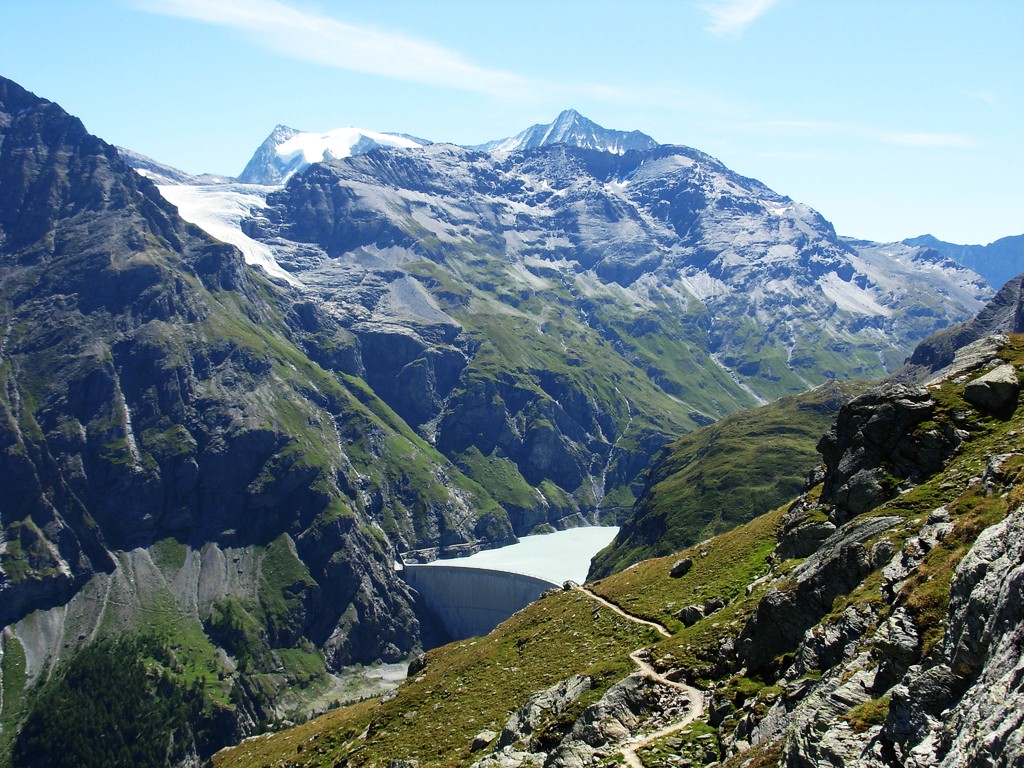
La Ruinette is a mountain of the Swiss Pennine Alps, overlooking the Lake of Mauvoisin in the canton of Valais. With an altitude of 3,875 metres above sea level, it is the highest summit between the Grand Combin and the Dent Blanche. La Ruinette lies close to the better known Mont Blanc de Cheilon which has almost the same height (3,870 m).
| La Ruinette | |
|---|---|
 La Ruinette from the southwest | |
| Highest point | |
| Elevation | 3,875 m (12,713 ft) |
| Prominence | 838 m (2,749 ft)[1] |
| Parent peak | Monte Rosa |
| Listing | Alpine mountains above 3000 m |
| Coordinates | 45°58′44.8″N 7°24′1.3″E |
| Geography | |
 La Ruinette Location in Switzerland | |
| Location | Valais, Switzerland |
| Parent range | Pennine Alps |
See also
- List of mountains of the Alps above 3000 m
- List of mountains of Switzerland
References
- Retrieved from the Swisstopo topographic maps. The key col is the Col de Chermotane (3,037 m).
External links
This Valais location article is a stub. You can help Wikipedia by expanding it. |
На других языках
[de] La Ruinette
La Ruinette ist ein Berg in den Walliser Alpen im Kanton Wallis in der Schweiz. Mit einer Höhe von 3875 m ü. M. ist sie der höchste Gipfel der Berge rund um Arolla. Da sie aus keinem der umliegenden Täler zu sehen ist, wird sie relativ selten bestiegen.- [en] La Ruinette
[fr] La Ruinette
La Ruinette est un sommet des Alpes suisses situé dans le canton du Valais.[it] La Ruinette
La Ruinette (3.875 m s.l.m.) è una montagna delle Alpi Pennine (sottosezione Alpi del Grand Combin).Текст в блоке "Читать" взят с сайта "Википедия" и доступен по лицензии Creative Commons Attribution-ShareAlike; в отдельных случаях могут действовать дополнительные условия.
Другой контент может иметь иную лицензию. Перед использованием материалов сайта WikiSort.org внимательно изучите правила лицензирования конкретных элементов наполнения сайта.
Другой контент может иметь иную лицензию. Перед использованием материалов сайта WikiSort.org внимательно изучите правила лицензирования конкретных элементов наполнения сайта.
2019-2026
WikiSort.org - проект по пересортировке и дополнению контента Википедии
WikiSort.org - проект по пересортировке и дополнению контента Википедии