Kūh-Zibad (Persian: کوه زیبد) its peak also called Tir Mahi[1] is a mountain in the province of Razavi Khorasan, city of Gonabad District Zibad in the eastern part of the country, 700km east of the capital Tehran. The Peak of the Moantain is called Qole -e Tir Mahi is 2,557 metres (8,389ft) above sea level, or 431m (1,414ft) above the surrounding terrain . The width at the base is 5.5km.
The terrain around the Qole-e Tir Mahi and Kuh-e zibad is mainly hilly. The highest point in the vicinity is 2775 meters above sea level, 17.7km southeast of Qole-e Tir mahi. Around Kuh-e Zibad is very sparsely populated, with 5 inhabitants per square kilometer. Nearest society zibad, 8.5km north of Kuh-e Zibad. The neighborhood around Kuh-e Zibad is barren with little or vegetation. In the neighborhood around the Kuh-e Zibad are unusually many named mountains and valleys.
A cold steppe climate prevailing in the region. The average annual temperature in the area is 17°C. The warmest month is July when the average temperature is 30°C, and the coldest is January, with 1°C. Average annual rainfall is 211mm (8in). The rainiest month is February, with an average of 58mm (2in) of precipitation, and the driest is July, with 1mm of precipitation.
This mountain had been referred in some historical book such as shahnameh in Davazdah Rokhwar as the Zibad mountain and its eastern part is called black mountain or kuh Gonabad. The long mountain range is called Qohestan and it extends from Bajestan to Birjand near the border with Afghanistan. This mountain range separates south khorasan from Razavi Khorasan, part of this mountain range near Kakhk is called black mountain or kuh e gonabad.
Другой контент может иметь иную лицензию. Перед использованием материалов сайта WikiSort.org внимательно изучите правила лицензирования конкретных элементов наполнения сайта.
2019-2026 WikiSort.org - проект по пересортировке и дополнению контента Википедии


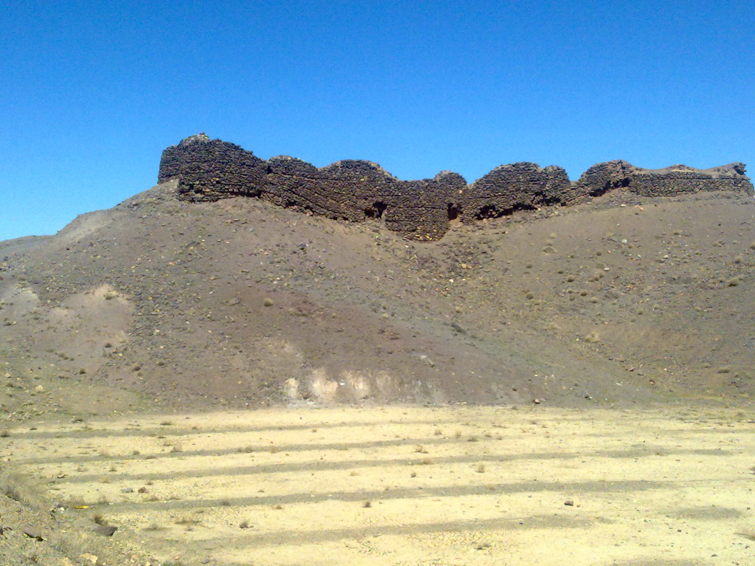


 Zibad Castle زیبد
 Zibad Castle قلعه زیبد
 Zibad Rheum
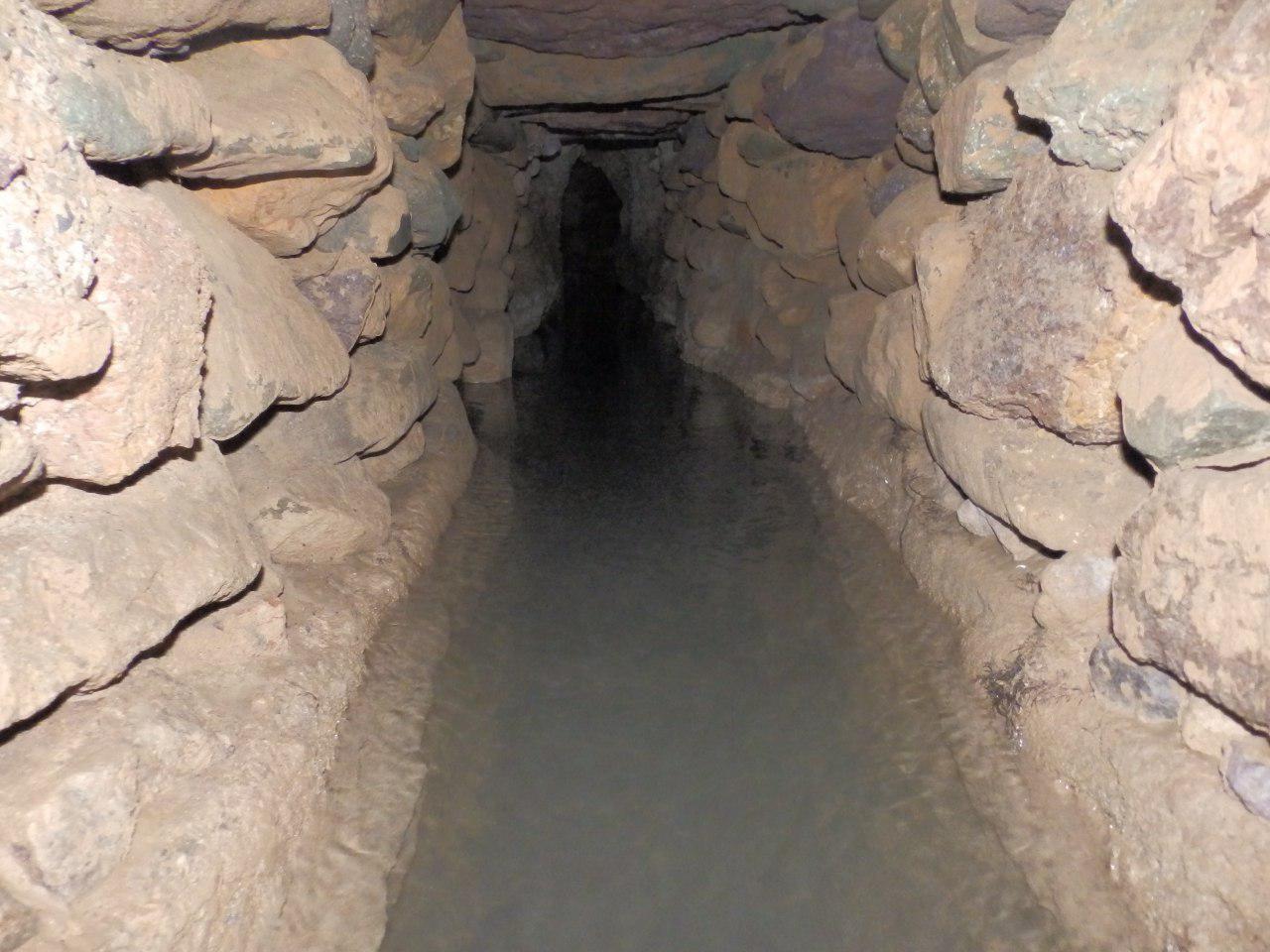
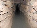 Kariz Zebad
 zibad Mountain
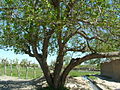
 Ferula Zibad
 Sassanian Castel
 Soufe Zibad
 Rivas zibad
 Kūh-ZibadZibad Gonabad
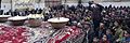 A photograph of Yaldā Night.
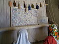
 Ancient water clock used in qanat of gonabad 2500 years ago
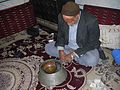 Reconstruction of the scene with a real manager of the water clock, Iran