geo.wikisort.org - Mountains
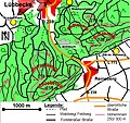
The Kniebrink, at 315 m above sea level (NN), is the third highest mountain in the northern German Wiehen Hills. Its immediate summit belongs administratively to the village of Oberbauerschaft in the municipality of Hüllhorst. However, its boundary with the town of Lübbecke runs just north of the summit, so that its northern slopes belong to Lübbecke.
This article does not cite any sources. (February 2016) |
| Kniebrink | |
|---|---|
 The Kniebrink seen from the south | |
| Highest point | |
| Elevation | 315 m above sea level (NN) (1,033 ft) |
| Coordinates | 52°17′49″N 8°39′22″E |
| Geography | |
 Kniebrink North Rhine-Westphalia, Germany | |
| Parent range | Wiehengebirge |
The Kniebrink is just 3 metres lower than the more northerly Wurzelbrink, which obscures it from view in Lübbecke. The hill is largely trackless. In spring 2007 its trees suffered major storm damage. The top can be reaches from Lübbecke in under 45 minutes. From the south you need about 20 minutes for the short but steep climb.
Gallery
 The Kniebrink lies immediately south of the Wurzelbrink
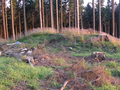 On the treeless summit region, this hillock, the actual peak, is easy to make out
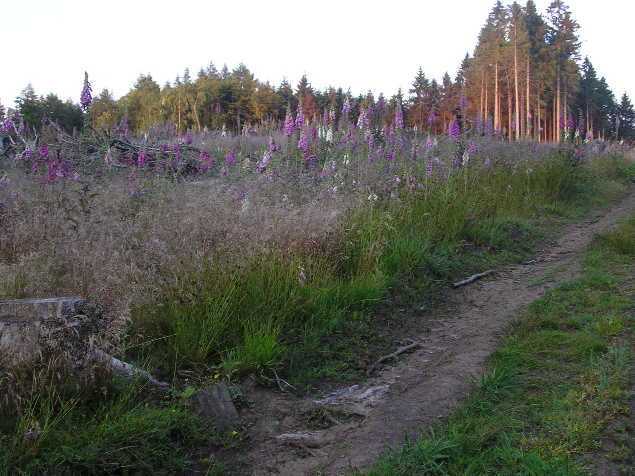
 On the summit area, deforested by the storm, there are now clumps of foxglove
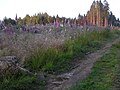 This path leads to the top
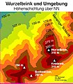 Like the neighbouring Wurzelbrink, the Kniebrink is also over 300m high


External links
 Media related to Kniebrink at Wikimedia Commons
На других языках
[de] Kniebrink
Der Kniebrink ist mit 308,6 m ü. NHN der dritthöchste Berg im norddeutschen Wiehengebirge. Sein unmittelbarer Gipfel gehört administrativ zur Gemeinde Hüllhorst, (hier zur Ortschaft Oberbauerschaft). Die Grenze zu Lübbecke verläuft jedoch unmittelbar nördlich des Gipfels, so dass die Nordabdachung bereits zu Lübbecke gehört.- [en] Kniebrink
Текст в блоке "Читать" взят с сайта "Википедия" и доступен по лицензии Creative Commons Attribution-ShareAlike; в отдельных случаях могут действовать дополнительные условия.
Другой контент может иметь иную лицензию. Перед использованием материалов сайта WikiSort.org внимательно изучите правила лицензирования конкретных элементов наполнения сайта.
Другой контент может иметь иную лицензию. Перед использованием материалов сайта WikiSort.org внимательно изучите правила лицензирования конкретных элементов наполнения сайта.
2019-2026
WikiSort.org - проект по пересортировке и дополнению контента Википедии
WikiSort.org - проект по пересортировке и дополнению контента Википедии