geo.wikisort.org - Mountains
The Kedon Range (Russian: Кедонский хребет) is a mountain range in Magadan Oblast, Far Eastern Federal District, Russia.[2]
| Kedon Range | |
|---|---|
| Кедонский хребет | |
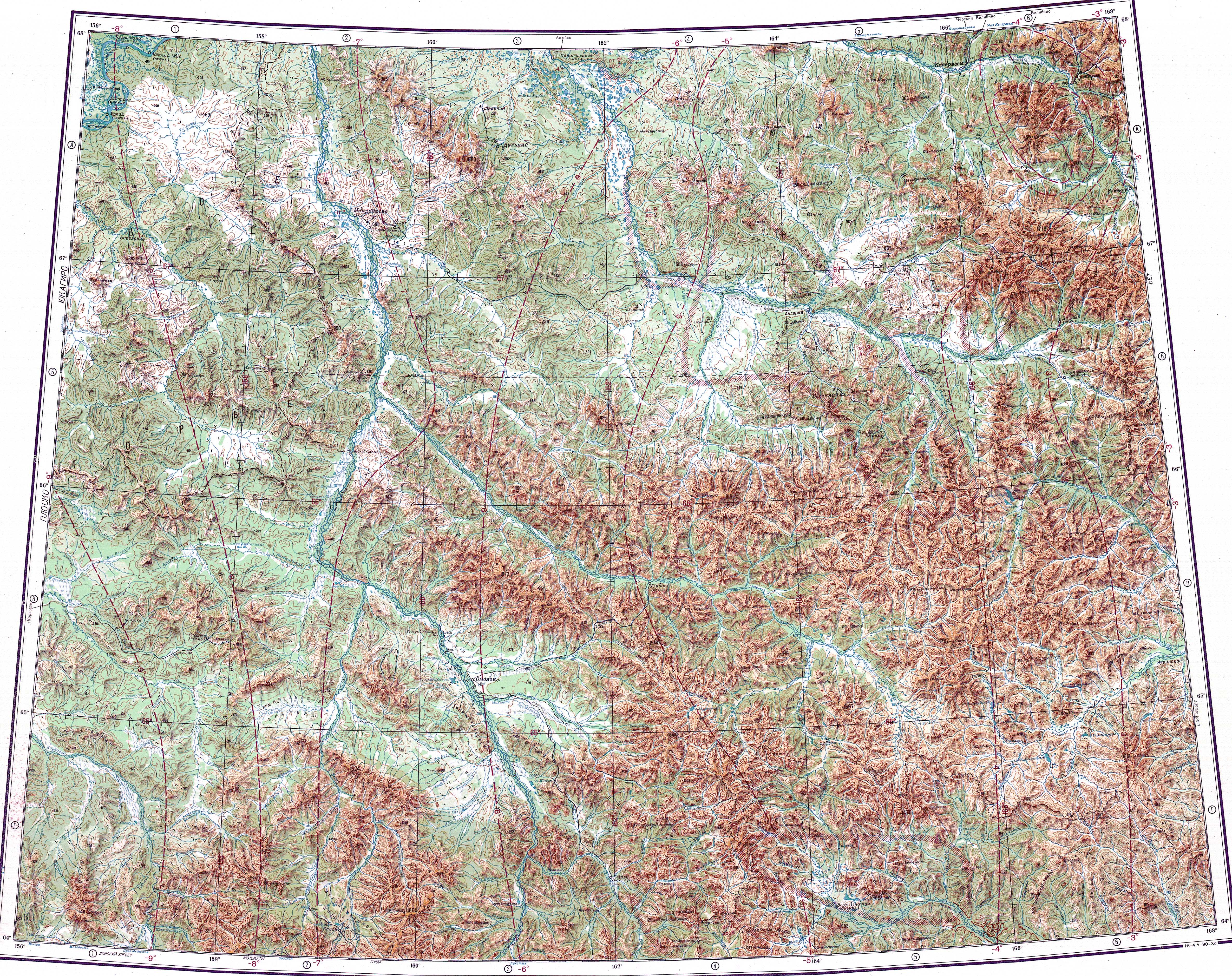
 Kedon Range, Central Kolyma Mountains, ONC map section | |
| Highest point | |
| Peak | Unnamed |
| Elevation | 1,661 m (5,449 ft)[1] |
| Dimensions | |
| Length | 150 km (93 mi) NW/SE |
| Width | 50 km (31 mi) NE/SW |
| Geography | |
 Location in the Far Eastern Federal District, Russia 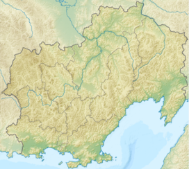 Kedon Range (Magadan Oblast) | |
| Country | Russia |
| Federal subject | Magadan Oblast |
| District | Severo-Evensky District |
| Range coordinates | 64°30′N 159°30′E[2] |
| Parent range | Kolyma Highlands, East Siberian System |
| Geology | |
| Orogeny | Alpine orogeny |
| Age of rock | Mesozoic[3] |
| Climbing | |
| Easiest route | From Omolon |
The Kedon Range is separated from the other ranges of the Highlands by tectonic basins. The mountains are not very high and are dissected by numerous river valleys, mainly tributaries of the Kedon. The area of the range is uninhabited.
History
Formerly there was a village in the southern area of the range where the Buksunda (Буксунда) reindeer-breeding state farm operated.[4] It was located at 64°07′18″N 159°14′35″E by the left bank of the 42 kilometers (26 mi) long Tik river (Тик), a right tributary of the Kedon. The village had 115 inhabitants in 1984 but lost its population at the turn of the millennium. Now it lies abandoned.[5]
Geography
The Kedon Range rises in the central sector of the Kolyma Highlands system. The main ridge runs in an arch to the west and southwest of the course of the Omolon. It stretches from the south to the northwest for over 150 kilometers (93 mi) from the eastern end of the Molkaty Range in the south. The southern end is not clearly delimited, with the Kedon and Molkaty ranges merging with each other. To the west and northwest rises the Kongin Range. The highest mountain of the range is a 1,661 metres (5,449 ft) high peak located in the southern part of the range.[1]
 |
Hydrography
The 261 kilometers (162 mi) long Kedon river originates in the Molkaty Range to the south and cuts across the central area of the Kedon Range on its way northwards. Further upstream of its mouth many short left tributaries of the Omolon, such as the 117 kilometers (73 mi) long Pravaya Khulchan (Правый Хуличан) have their sources in the range.[6][7][8][1]
Flora
The slopes of the Kedon Range are bare and have a barren look. There are sparse larch forests in the valleys.[4]
See also
References
- "Топографска карта Q-57_58; M 1:1 000 000 - Topographic USSR Chart (in Russian)". Retrieved 9 March 2022.
- Google Earth
- Области мезозойской складчатости
- Светлой памяти совхоза "Буксунда". Фото
- Горный пейзаж в отечественном искусстве: этапы развития, типология, стилистика
- "Река Омолон in the State Water Register of Russia". textual.ru (in Russian).
- 1,000,000 scale Operational Navigation Chart; Sheet C-7
- 1,000,000 scale Operational Navigation Chart; Sheet D-9
External links
 Media related to Kedon Range at Wikimedia Commons
- Kolyma - Tourism
- Epithermal mineralization in the Kedon Paleozoic volcano-plutonic belt, Northeast Russia: Geochemical studies of Au–Ag mineralization
Другой контент может иметь иную лицензию. Перед использованием материалов сайта WikiSort.org внимательно изучите правила лицензирования конкретных элементов наполнения сайта.
WikiSort.org - проект по пересортировке и дополнению контента Википедии