geo.wikisort.org - Mountains
The Kandrich, at 638.6 m above sea level (NHN),[1] is the highest mountain in the Bingen Forest. It is near Daxweiler in the county of Bad Kreuznach in the German state of Rhineland-Palatinate.
| Kandrich | |
|---|---|
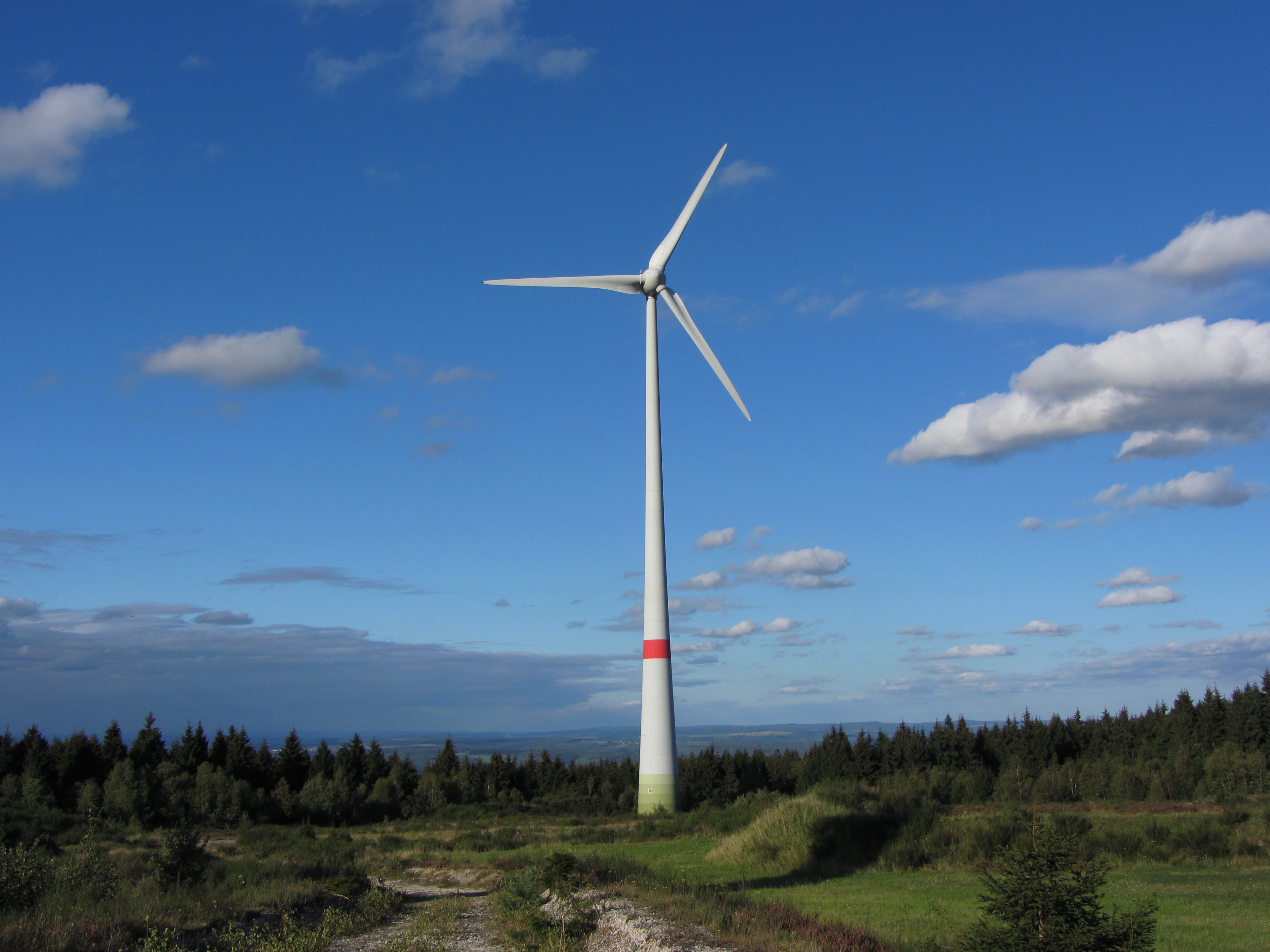
 View from the Hochsteinchen observation tower of the Kandrich, the wind park and transmission mast | |
| Highest point | |
| Elevation | 638.6 m above sea level (NHN) (2,095 ft) [1] |
| Coordinates | 49°59′38″N 7°43′42″E |
| Geography | |
 Kandrich nahe Daxweiler; Bad Kreuznach Rhineland-Palatinate | |
| Parent range | Bingen Forest (Hunsrück) |
| Climbing | |
| Access | Waldwege |
Geography
The Kandrich lies in the northern tip of the county of Bad Kreuznach and within the parish of Daxweiler. It is located about 3.5 kilometres north-northwest of this village and 3.7 kilometres north-northeast of Seibersbach. In the neighbouring county of Rhein-Hunsrück-Kreis lies the villages of Dichtelbach, 3 kilometres to the northwest and Rheinböllen, 4.2 kilometres to the west-northwest (as the crow flies). The Nahe tributary of the Guldenbach runs past the mountain to the southwest. The northeastern spur of the mountain is the Ohligsberg (604.1 m) and its southwestern spur is the Hammerberg (583.6 m).
Parts of the protected area, Rheingebiet von Bingen bis Koblenz (CDDA-No. 323852; 1978 established in 1978; 403.28 km²[2]), covers the mountain.

 Kandrich plateau and wind power site (Typ E-70); view looking northeast to the Rhine
 Transmission mast


References
- Map service of the Landscape Information System of the Rhineland-Palatinate Nature Conservation Office (Naturschutzverwaltung Rheinland-Pfalz)
- Map services of the Federal Agency for Nature Conservation
External links
- Windkraftwerk Kandrich (kandrich.de)
- Kandrich hiking trails (stromberg.de; pdf file; 3.98 MB)
На других языках
[de] Kandrich
Der Kandrich nahe Daxweiler im rheinland-pfälzischen Landkreis Bad Kreuznach ist mit 638,6 m ü. NHN[1] die höchste Erhebung im Binger Wald.- [en] Kandrich
Другой контент может иметь иную лицензию. Перед использованием материалов сайта WikiSort.org внимательно изучите правила лицензирования конкретных элементов наполнения сайта.
WikiSort.org - проект по пересортировке и дополнению контента Википедии