geo.wikisort.org - Mountains
The Jebel Akhdar (Arabic: الجبل الأخضر al-Jabal al-Akhḍar, English: The Green Mountain) is a heavily forested, fertile upland area in northeastern Libya. It is located in the modern shabiyahs or districts of Derna, Jabal al Akhdar, and Marj.


Geography
The Jebel Akhdar consists of a mountainous plateau rising to an altitude of 900 metres (3,000 ft), cut by several valleys and wadis. It forms the north-western part of the peninsula that sticks north into the Mediterranean Sea, with the Gulf of Sidra on the west, and the Levantine Basin on the east. It runs from Bengazi eastward to just east of Derna, fronting the coast for about 330 kilometres (210 mi). Due to erosion and deposition the plateau is sometimes as much as 16 kilometres (9.9 mi) from the shore, but it forms cliffs on the headlands.[1][2] The final uplift and arching of the plateau was completed in the Miocene.[2]
The region is one of the very few forested areas of Libya, which taken as a whole is one of the least forested countries on Earth. It is the wettest part of Libya, receiving some 600 millimetres (24 in) of precipitation annually.[3] The high rainfall contributes to the area's large forests containing Chammari, and enables rich fruit, potato, and cereal agriculture, something of a rarity in an arid country like Libya.[4] Camels, goats and sheep are herded in and around the Jebel Akhdar and the herders tend to be nomadic.[3][5]
Flora

In marked contrast to the aridity prevailing in most of Libya, there are forested areas in this region totalling around 3200 km², although approximately a third of the original forest has already been destroyed to make way for agriculture. In addition to the forests there are also large areas of maquis and steppe-like vegetation. Typical maquis species are the Phoenician juniper (Juniperus phoenicea), the mastic tree (Pistacia lentiscus), the Kermes oak (Quercus coccifera) and the carob tree (Ceratonia siliqua). In the drier steppe-like areas, branched asphodel (Asphodelus ramosus), prickly burnet (Sarcopoterium spinosum) and white wormwood (Artemisia herba-alba) predominate.[6] More than half of the endemic plant species in Libya are to be found in the Jebel Akhdar and, of these, seven are found only in the region: Arbutus pavarii, Arum cyrenaicum, Bellis sylvestris var. cyrenaica, Cyclamen rohlfsianum, Cynara cyrenaica, Onopordum cyrenaicum and Romulea cyrenaica. [7]
History
Ancient

Documents created during the New Kingdom of Egypt record that to the west there were large populations of metal workers who lived in towns and had plentiful livestock. The only plausible location for these "Libyans" is the Jebel Akhdar.[8]
The ancient Greek colony of Cyrene was located in a lush valley in the Jebel Akhdar, with the ruins remaining.[9] It was the Greeks who introduced farming to the Jebal Akhdar when they colonised its verdant valleys in around 600 BC.[4]
Italian occupation
During the Italian occupation these mountains were identified as a promising area for agriculture and many Italians moved here in the 1930s. This settlement was interrupted during World War II and the villages and farms were deserted and were later reoccupied by Libyans. The mountain chain was the site of major battles between the British Commonwealth and the Axis forces during World War II.[3]
Liberation
The Libyan leader Omar al-Mukhtar used this heavily forested mountainous region to resist the Italian military occupation of Libya as Italian colony for more than twenty years, where he organized and devised strategies for the Libyan resistance against Italian Libya.[10]
Galleries
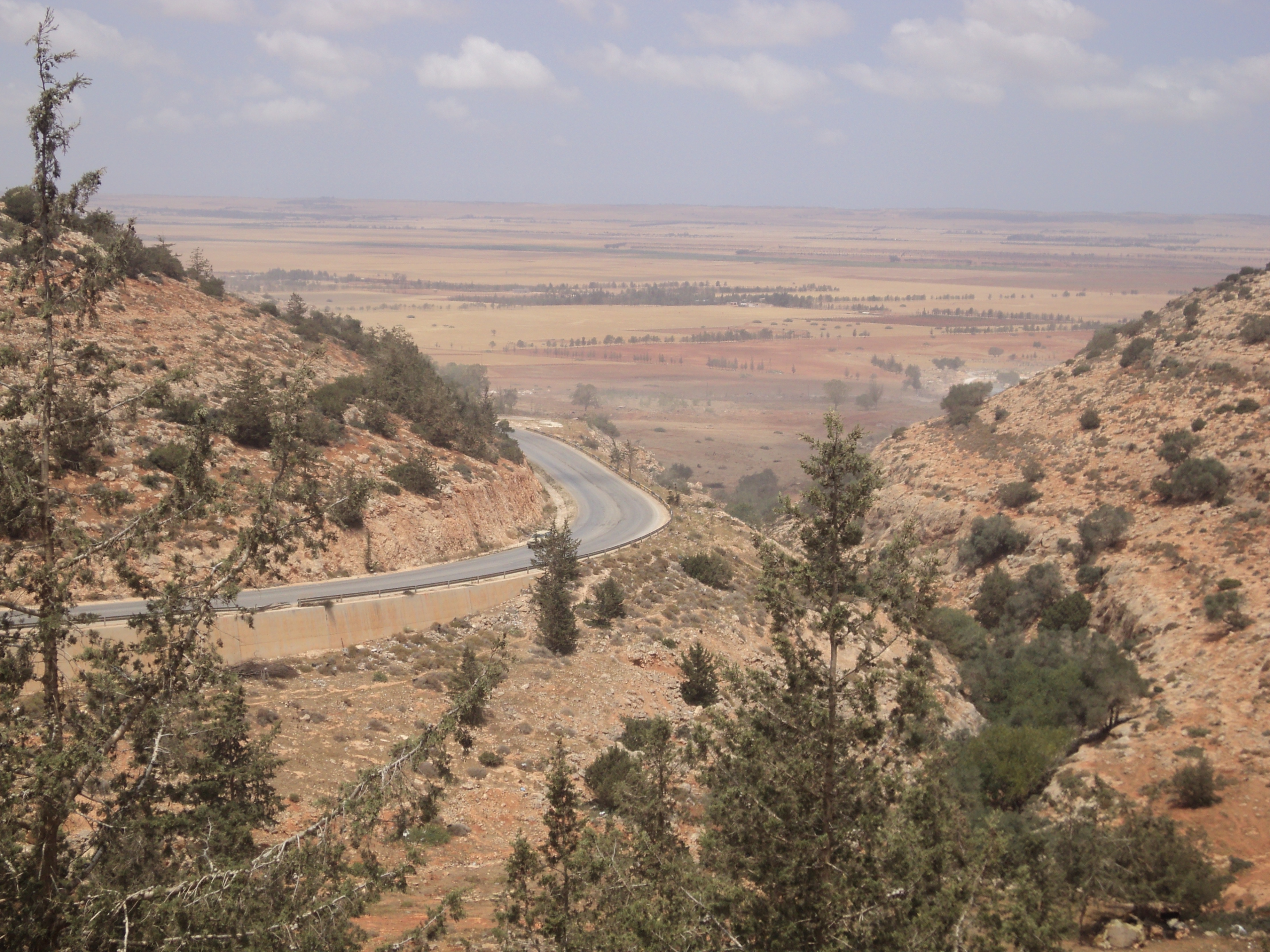
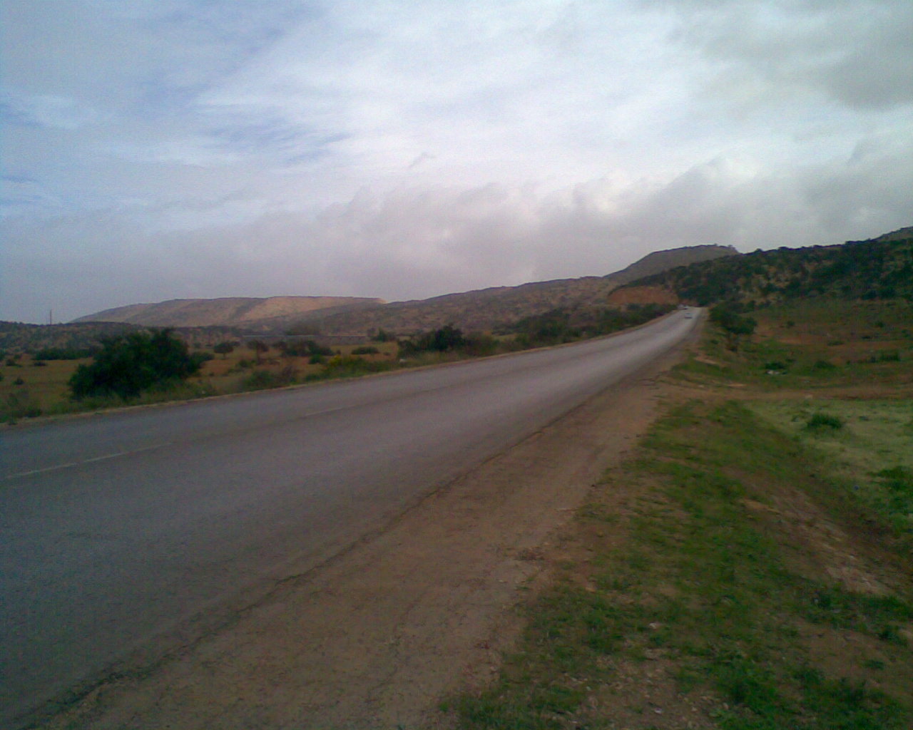
Landscapes
 Area near the centre of Jebel Akhdar, (The outskirts of the city of Bayda).
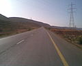 Eastern end of Jebel Akhdar, (near Derna).
 Marj escarpment area.
 Al Bakour escarpment area.
 Al Bakour at the western end of Jebel Akhdar, near Taucheira).
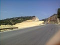 An example of the severe soil erosion which can result from deforestation in the Jebel Akhdar (near Wadi el Kuf Bridge).


Flora
 Quercus coccifera (Fagaceae)
 Viburnum tinus (Adoxaceae)
 Myrtus communis (Myrtaceae)
 Ceratonia siliqua (Fabaceae)
 Retama raetam (Fabaceae)
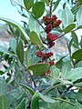 Pistacia lentiscus (Anacardiaceae)
 Lycium shawii (Solanaceae)
 Rhamnus lycioides (Rhamnaceae)
 Juniperus phoenicea (Cupressaceae)
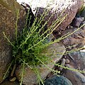 Artemisia herba-alba (Asteraceae)
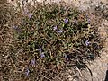 Cichorium spinosum (Asteraceae)
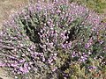 Limoniastrum monopetalum (Plumbaginaceae)
 Sarcopoterium spinosum (Rosaceae)
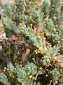 Crucianella maritima (Rubiaceae)
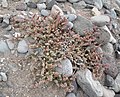 Suaeda vermiculata (Amaranthaceae)
 Marrubium vulgare (Lamiaceae)
 Cyclamen rohlfsianum (Myrsinaceae). Endemic species
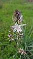 Asphodelus ramosus (Asphodelaceae)
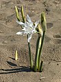 Pancratium maritimum (Amaryllidaceae)


Fauna
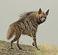 Striped hyena (Hyaena hyaena)
 Red fox (Vulpes vulpes)
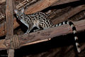 Common genet (Genetta genetta)
 Egyptian mongoose (Herpestes ichneumon)
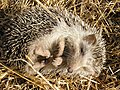 North African hedgehog (Atelerix algirus)
 North African elephant shrew (Petrosaltator rozeti)


See also
- Mediterranean dry woodlands and steppe – lower elevations
- Mediterranean woodlands and forests – higher elevations
References
- Carter, Theresa Howard (1963). "Reconnaissance in Cyrenaica" (PDF). Expedition. University of Pennsylvania Museum of Archaeology and Anthropology. 5 (3): 18–27, page 18.
- Röhlich, Pavel (1978). "Geological development of Jabal al Akhdar, Libya". Geologische Rundschau. 67 (2): 401–412. Bibcode:1978GeoRu..67..401R. doi:10.1007/BF01802797. S2CID 129730283.
- "Akhdar Mountains". Encyclopædia Britannica. Retrieved 27 November 2016.
- "Cyrenaica at 1300m". Hidden Journeys. Retrieved 27 November 2016.
- Benzabih, Hosney A. (1982). "The Jabal Al Akhdar: A Half Century of Nomadic Livelihood". In Joffe, E. G. H.; Malachlon, K. S. (eds.). Social and Economic Development of Libya. Wisbech, Cambridgeshire, England: Menas Press. pp. 195–206. ISBN 978-0-906559-10-9.
- El-Darier, S.M., El-Mogaspi, F.M. "Ethnobotany and Relative Importance of Some Endemic Plant Species at El-Jabal El-Akhdar Region (Libya)" World Journal of Agricultural Sciences Band 5, Nr. 3, 2009
- Al-Sodany, Yassin, Shehata, M.N. and Shaltout, Kamal Hussein "Vegetation along an elevation gradient in Al-Jabal Al-Akhdar, Libya" January 2003 Ecologia Mediterranea 29(2):125-138 doi:10.3406/ecmed.2003.1547
- Peter Mitchell; Paul Lane (2013). The Oxford Handbook of African Archaeology. Oxford University Press. ISBN 978-0191626159.
- "Cyrenaica". Livius. Retrieved 27 November 2016.
- "A symbol of resistance: Omar Mukhtar". Worldbulletin News. Retrieved 27 November 2016.
| |
Authority control | |
|---|---|
| General |
|
| National libraries | |
На других языках
[de] Al-Dschabal al-Achdar (Libyen)
al-Dschabal al-Achdar (arabisch الجبل الأخضر, DMG al-Ǧabal al-Aḫḍar, andere Transkriptionen: Jebel Akhdar, Jabal Akhdar und Djebel Akhdar; deutsch für Grüner Berg; nach dem antiken Barke veraltet auch Plateau von Barka[1]) ist ein Gebirge in der historischen Region Kyrenaika an der libyschen Mittelmeerküste.- [en] Jebel Akhdar (Libya)
[es] Yebel Ajdar (Libia)
El Yebel Ajdar o Montaña Verde (en árabe, الجبل الأخضر: al-Jabal al-Akhḍar, en lenguas bereberes, ⴰⴷⵔⴰⵔ ⴰⵣⴳⵣⴰⵡ) es un altiplano feraz y arbolado del noreste de Libia. Se extiende por los modernos distritos libios de Derna, Yabal al Ajdar y Marj.[fr] Djebel Akhdar (Libye)
La région libyenne de Cyrénaïque, englobant Cyrène, est appelée La Montagne Verte en arabe Djebel Akhdar (al-jabal al-ʾaḫḍar, الجبل الأخضر). Elle tient son nom de sa végétation.[it] Gebel el-Achdar
Gebel el-Achdar (italianizzazione del termine arabo الجبل الأخضر: al-Jabal al-Akhḍar che significa montagna verde), è un altopiano libico (circa 860 metri di altezza), ricoperto da fitti boschi, situato nella Cirenaica settentrionale, nella parte orientale del paese. È situato negli odierni distretti di Darna, al-Jabal al-Akhdar, e al-Marj.Другой контент может иметь иную лицензию. Перед использованием материалов сайта WikiSort.org внимательно изучите правила лицензирования конкретных элементов наполнения сайта.
WikiSort.org - проект по пересортировке и дополнению контента Википедии