geo.wikisort.org - Mountains
The Idar Forest (German: Idarwald, Celtic: "id ar" - hill forest above the land) is part of the Hunsrück low mountain range in the German federal state of Rhineland-Palatinate, Germany.
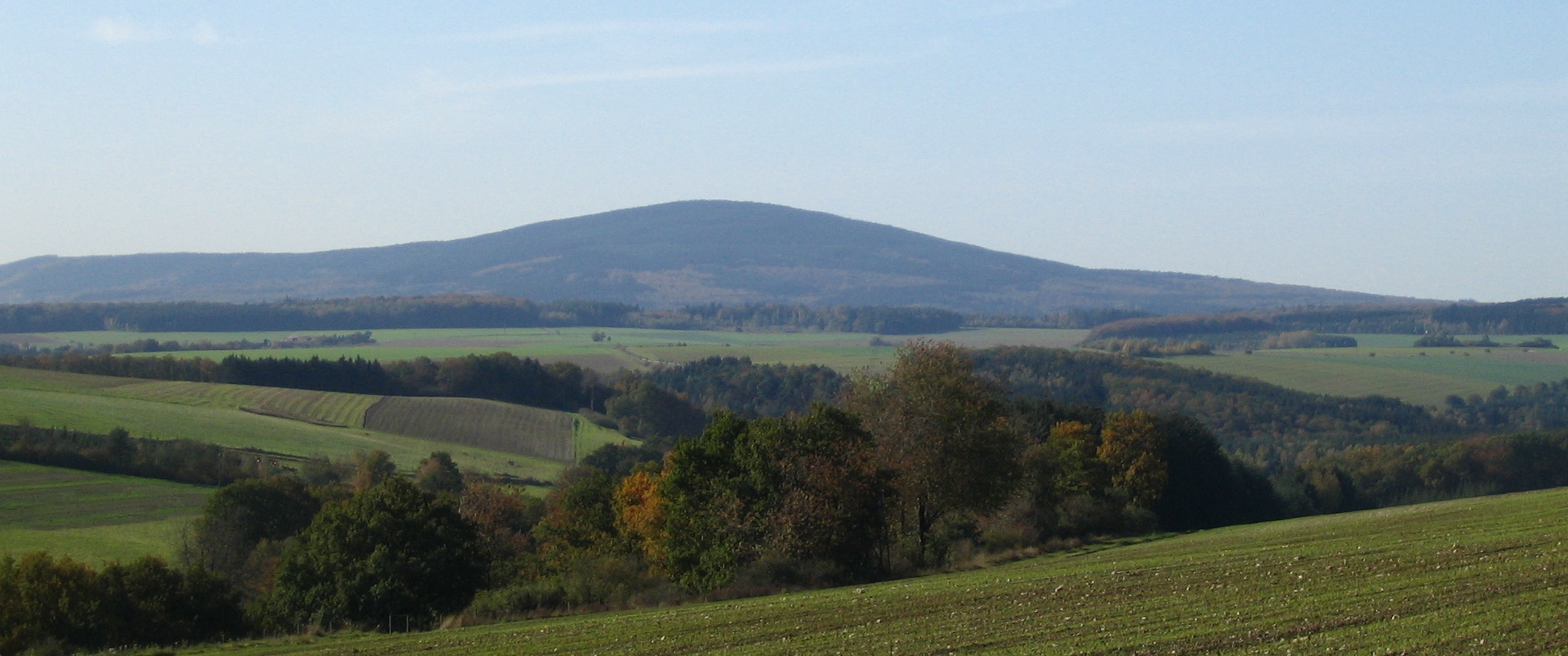
Geography
The Idar Forest lies in the districts of Bernkastel-Wittlich and Birkenfeld in the northeast of the Saar-Hunsrück Nature Park. It lies more or less in the triangle formed by the villages of Morbach (in the northwest), Rhaunen (northeast) and Idar-Oberstein (southeast), but apart from Morbach – does not extend as far as these places. The underlying rocks are primarily made up of Lower Devonian quartzites.
Mountains
Amongst the highest mountains in the Idar Forest are:
- An den zwei Steinen (766 m)
- Kahlheid (766 m)
- Steingerüttelkopf (757 m)
- Ruppelstein (755 m)
- Idarkopf (746 m) - crowned by the Idarkopf Tower
- Usarkopf (724 m)
Bodies of water

Streams
The following streams rise in, or on the edge of, the Idar Forest:
- Dhron
- Idarbach (Nahe) - rises between Erbeskopf and Kahlheid
- Idarbach (Hahnenbach) - rises north of the Idarkopf near Hochscheid
- Rhaunelbach
- Steinbach
Lakes and reservoirs

The following lakes and reservoirs are located in, or on the edge of, the Idar Forest:
- Steinbach Reservoir on the Steinbach
Sources
- Uwe Anhäuser: Heimat am Idarwald. Literaturverlag Dr. Gebhardt und Hilden, Idar-Oberstein 2001, ISBN 3-932515-30-7.
External links
| Authority control |
|
|---|
На других языках
[de] Idarwald
Der Idarwald (kelt.: "id ar" – Waldhöhe über dem Lande) ist ein bis 766,2 m ü. NHN[1] hoher Teil des Hunsrücks in Rheinland-Pfalz, Deutschland.- [en] Idar Forest
Другой контент может иметь иную лицензию. Перед использованием материалов сайта WikiSort.org внимательно изучите правила лицензирования конкретных элементов наполнения сайта.
WikiSort.org - проект по пересортировке и дополнению контента Википедии