geo.wikisort.org - Mountains
Foel Grach is a mountain in the Carneddau range. It is the eighth-highest summit in Snowdonia as well as Wales, and is included in the Welsh 3000s.
| Foel Grach | |
|---|---|
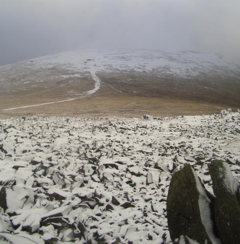 Foel Grach from Garnedd Uchaf in November 2008. | |
| Highest point | |
| Elevation | 975 m (3,199 ft) |
| Prominence | 42 m (138 ft) |
| Parent peak | Carnedd Llewelyn |
| Listing | Hewitt, Welsh 3000s, Nuttall, Furth |
| Coordinates | 53°10′27″N 3°57′48″W |
| Naming | |
| English translation | scabby hill |
| Language of name | Welsh |
| Pronunciation | Welsh: [ˈvɔil ˈɡɾɑːx] |
| Geography | |
| Location | Conwy / Gwynedd, Wales |
| Parent range | Snowdonia |
| OS grid | SH689659 |
| Topo map | OS Landranger 115 |
| Listed summits of Foel Grach | ||||
| Name | Grid ref | Height | Status | |
|---|---|---|---|---|
| Craig Eigiau | 735 metres (2,411 ft) | sub Hewitt, Nuttall | ||
It is located on a broad ridge extending northwards from Carnedd Llewelyn to Carnedd Gwenllian (formerly Y Garnedd Uchaf) and Foel-fras. An emergency refuge has been built below the summit. Compared to the surrounding mountains, much deeper snow settles here due to its rather broad summit and high grassy slopes. On clear days the Isle of Man and even the Mourne Mountains in Northern Ireland can be seen from the summit.[1]
References
- Nuttall, John & Anne (1999). The Mountains of England & Wales - Volume 1: Wales (2nd edition ed.). Milnthorpe, Cumbria: Cicerone. ISBN 1-85284-304-7.
External links
This Conwy County Borough location article is a stub. You can help Wikipedia by expanding it. |
This Gwynedd location article is a stub. You can help Wikipedia by expanding it. |
Текст в блоке "Читать" взят с сайта "Википедия" и доступен по лицензии Creative Commons Attribution-ShareAlike; в отдельных случаях могут действовать дополнительные условия.
Другой контент может иметь иную лицензию. Перед использованием материалов сайта WikiSort.org внимательно изучите правила лицензирования конкретных элементов наполнения сайта.
Другой контент может иметь иную лицензию. Перед использованием материалов сайта WikiSort.org внимательно изучите правила лицензирования конкретных элементов наполнения сайта.
2019-2026
WikiSort.org - проект по пересортировке и дополнению контента Википедии
WikiSort.org - проект по пересортировке и дополнению контента Википедии