geo.wikisort.org - Mountains
Devil's Thumb (Greenlandic: Kullorsuaq, Danish: Djævelens Tommelfinger) is a pinnacle-shaped, 546 m (1,791 ft)[1] mountain in the Avannaata municipality in northwestern Greenland.
| Devil's Thumb | |
|---|---|
 Devil's Thumb seen from the southwest | |
| Highest point | |
| Elevation | 546 m (1,791 ft)[1] |
| Prominence | 546 m (1,791 ft) |
| Coordinates | 74°35′37″N 57°08′28″W |
| Geography | |
 Devil's Thumb | |
| Location | Kullorsuaq Island, Upernavik Archipelago, Greenland |
Geography
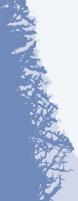
Devil's Thumb is located in the central part of Kullorsuaq Island, an island in the northern part of Upernavik Archipelago, in Melville Bay, approximately 3 km (1.9 mi) to the north of the Kullorsuaq settlement.[1]
It is a familiar feature for Arctic navigators, similar to the Melville Monument further north, but bigger.[2]
References
Wikimedia Commons has media related to Devil's Thumb.
- Upernavik Avannarleq, Saga Map, Tage Schjøtt, 1992
- Geographical Items on North Greenland Encyclopedia Arctica 14
Текст в блоке "Читать" взят с сайта "Википедия" и доступен по лицензии Creative Commons Attribution-ShareAlike; в отдельных случаях могут действовать дополнительные условия.
Другой контент может иметь иную лицензию. Перед использованием материалов сайта WikiSort.org внимательно изучите правила лицензирования конкретных элементов наполнения сайта.
Другой контент может иметь иную лицензию. Перед использованием материалов сайта WikiSort.org внимательно изучите правила лицензирования конкретных элементов наполнения сайта.
2019-2026
WikiSort.org - проект по пересортировке и дополнению контента Википедии
WikiSort.org - проект по пересортировке и дополнению контента Википедии