geo.wikisort.org - Mountains
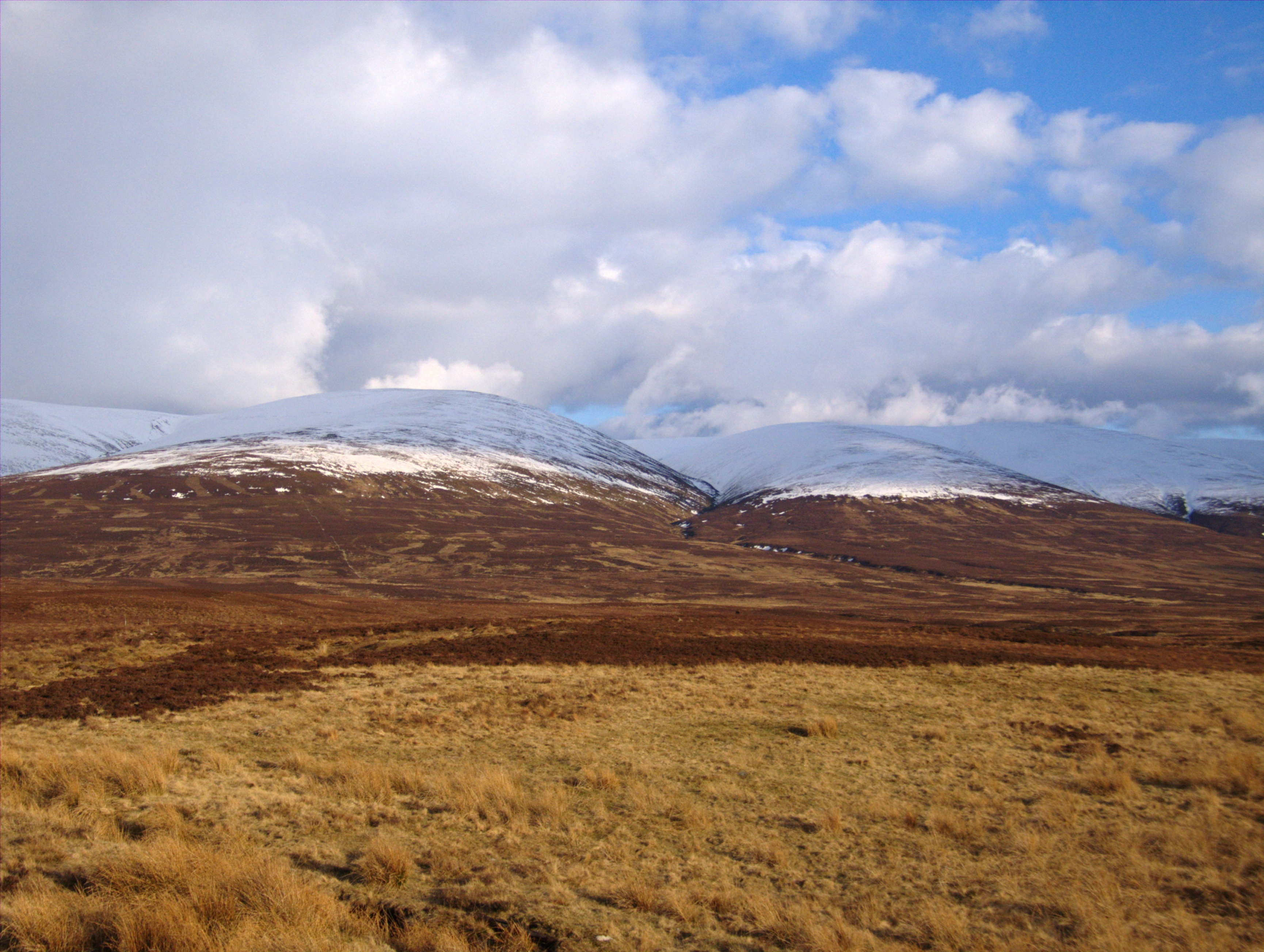
Carn na Caim (941 m) is a mountain in the Grampian Mountains of Scotland. It lies on the border of Highland and Perth and Kinross, east of the Pass of Drumochter.
| Carn na Caim | |
|---|---|
 Carn na Caim | |
| Highest point | |
| Elevation | 941 m (3,087 ft)[1] |
| Prominence | 327 m (1,073 ft) |
| Listing | Munro, Marilyn |
| Coordinates | 56°54′42″N 4°10′28″W |
| Geography | |
| Location | Highland / Perth and Kinross, Scotland |
| Parent range | Grampian Mountains |
| OS grid | NN677821 |
| Topo map | OS Landranger 42 |
Located on a high plateau, Carn na Caim is the higher of the two Munros above the Pass. The climb to the summit is soggy in many places around the peak, but the views from the top are fine.[2]
References
- "Carn na Caim". hill-bagging.co.uk. Retrieved 17 May 2019.
- "walkhighlands Carn na Caim". walkhighlands.co.uk. Retrieved 17 May 2019.
This Scottish location article is a stub. You can help Wikipedia by expanding it. |
На других языках
[de] Càrn na Caim
Der Càrn na Caim ist ein als Munro und Marilyn eingestufter, 941 Meter hoher Berg in Schottland. Sein gälischer Name kann in etwa mit Felsspitze an der Kurve übersetzt werden.[1]- [en] Càrn na Caim
Текст в блоке "Читать" взят с сайта "Википедия" и доступен по лицензии Creative Commons Attribution-ShareAlike; в отдельных случаях могут действовать дополнительные условия.
Другой контент может иметь иную лицензию. Перед использованием материалов сайта WikiSort.org внимательно изучите правила лицензирования конкретных элементов наполнения сайта.
Другой контент может иметь иную лицензию. Перед использованием материалов сайта WikiSort.org внимательно изучите правила лицензирования конкретных элементов наполнения сайта.
2019-2026
WikiSort.org - проект по пересортировке и дополнению контента Википедии
WikiSort.org - проект по пересортировке и дополнению контента Википедии