geo.wikisort.org - Mountains
Colosseum Mountain is a 12,473-foot-elevation (3,802 meter) double summit mountain located on the crest of the Sierra Nevada mountain range in northern California.[5] It is situated on the common border of Fresno County with Inyo County, as well as the shared boundary of John Muir Wilderness and Kings Canyon National Park. It is 12 miles (19 km) northwest of the community of Independence, 1.2 miles (1.9 km) east of Mount Cedric Wright, 2.6 miles (4.2 km) west of Sawmill Point, and 1.6 miles (2.6 km) south-southeast of Mount Perkins, the nearest higher neighbor. The lower east summit is 12,451-feet in elevation and marked as Colosseum Mountain on maps, but the 12,473-foot west summit is higher.[2] Approximately 1,000 feet distance separate the two summits. The John Muir Trail passes to the west of this peak, providing an approach to the mountain. The first ascent of the summit was made August 5, 1922, by Chester Versteeg, a prominent Sierra Club member, via the southwest face.[7][8]
| Colosseum Mountain | |
|---|---|
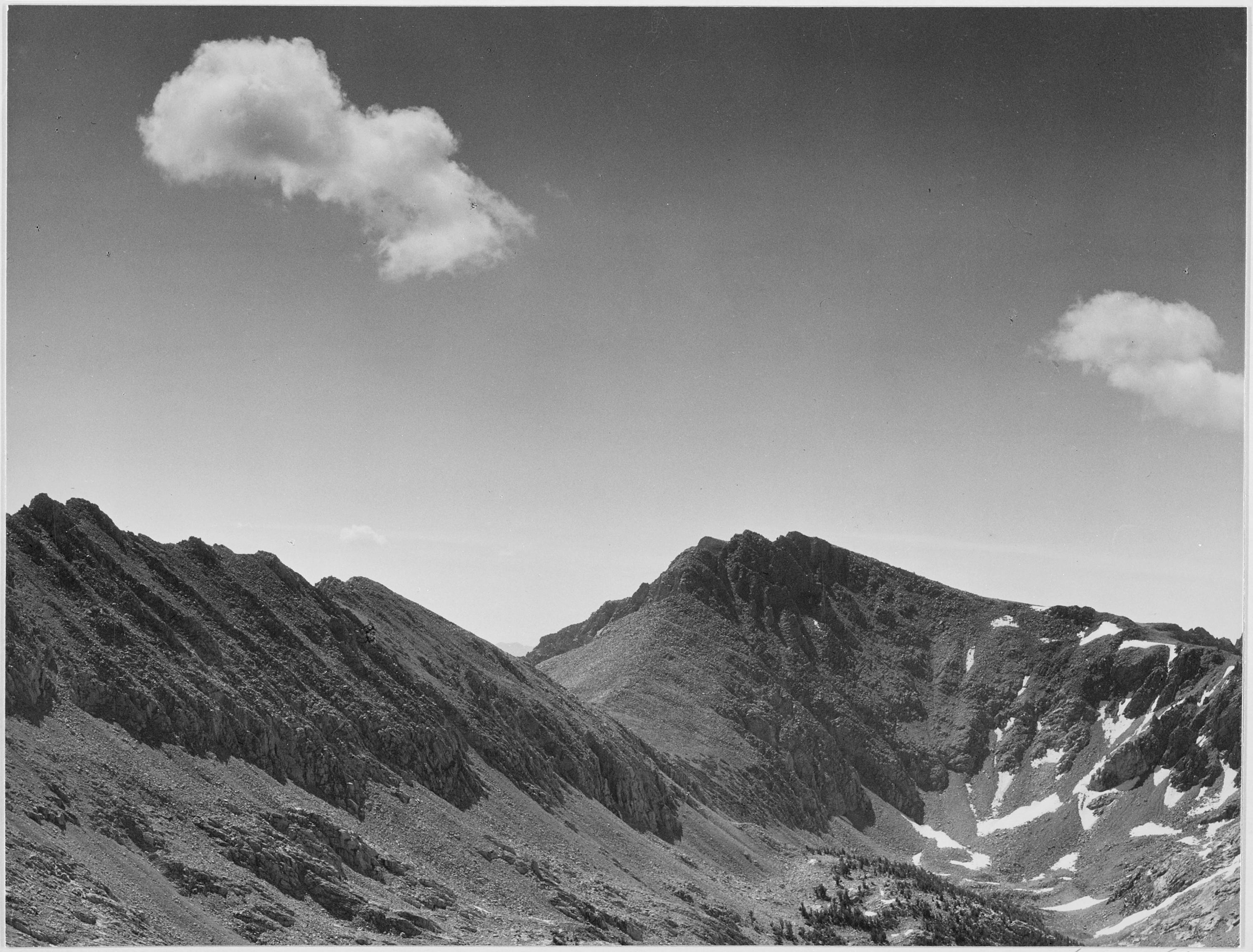
 Northeast aspect, from near Pinchot Pass | |
| Highest point | |
| Elevation | 12,456 ft (3,797 m) NAVD 88[1] |
| Prominence | 805 ft (245 m) [2] |
| Parent peak | Mount Perkins (12,566 ft)[2] |
| Listing | |
| Coordinates | 36°54′26″N 118°22′01″W [5] |
| Geography | |
 Colosseum Mountain  Colosseum Mountain | |
| Location |
|
| Parent range | Sierra Nevada |
| Topo map | USGS Aberdeen |
| Climbing | |
| First ascent | August 5, 1922[6] |
| Easiest route | Hike, class 1 |
Climate
According to the Köppen climate classification system, Colosseum Mountain has an alpine climate.[9] Most weather fronts originate in the Pacific Ocean, and travel east toward the Sierra Nevada mountains. As fronts approach, they are forced upward by the peaks, causing them to drop their moisture in the form of rain or snowfall onto the range (orographic lift). Precipitation runoff from this mountain drains west into Woods Creek, which is a tributary of the South Fork Kings River, and east to the Owens Valley via Division Creek.
Climbing
Established climbing routes on Colosseum Mountain:[7]
- Southwest slope – class 1 – First ascent 1922
- West Ridge – class 1
- Northwest Chute – class 2
- North Ridge – class 4
See also
References
- "Colosseum Mountain, California". Peakbagger.com. Retrieved 2021-11-24.
- "Colosseum Mountain, California". Peakbagger.com. Retrieved 2021-04-30.
- "Sierra Peaks Section List" (PDF). Angeles Chapter, Sierra Club. Retrieved 2021-11-24.
- "Vagmarken Sierra Crest List". Angeles Chapter, Sierra Club. Retrieved 2021-11-24.
- "Colosseum Mountain". Geographic Names Information System. United States Geological Survey, United States Department of the Interior. Retrieved 2021-04-30.
- Secor, R.J. (1992). The High Sierra Peaks, Passes, and Trails (1st ed.). Seattle: The Mountaineers. p. 132. ISBN 978-0898863130.
- Jones, Fred L. (1954). "A Climber's Guide to the High Sierra".
- Sierra Club Bulletin, (1923) page 421.
- Peel, M. C.; Finlayson, B. L.; McMahon, T. A. (2007). "Updated world map of the Köppen−Geiger climate classification". Hydrol. Earth Syst. Sci. 11. ISSN 1027-5606.
External links
 Mountains portal
- Weather forecast: Colosseum Mountain
Другой контент может иметь иную лицензию. Перед использованием материалов сайта WikiSort.org внимательно изучите правила лицензирования конкретных элементов наполнения сайта.
WikiSort.org - проект по пересортировке и дополнению контента Википедии