geo.wikisort.org - Mountains
Chacana is a large 32-km long - 18-24 km wide caldera that has erupted in historical times. It forms one of the largest rhyolite centers in the Northern Andes with major eruptions over the past 240,000, 180,00, and 160,000 years ago and has had andesitic-rhyolitic volcanism.[1] With dactic lava flows continuing into historical times. Lava domes were also constructed in the Holocene. Chacana is located 30 km from Quito and the large Antisana volcano is constructed to the southeast.
This article needs additional citations for verification. (February 2012) |
| Chacana | |
|---|---|
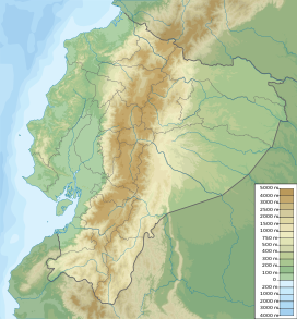 Chacana Ecuador | |
| Highest point | |
| Elevation | 4,643 m (15,233 ft)[1] |
| Coordinates | 00°22′30″S 78°15′00″W[1] |
| Geography | |
| Location | Ecuador |
| Geology | |
| Mountain type | Caldera |
| Last eruption | 1773 |
Eruptions
Eruptions in the past 10,000 years have been limited to small lava flows originating from Fissures.
- 1760 Eruption: A small (VEI 0) Eruption, the first in historical time, came from a flank vent on the SW of the Caldera which caused some damage.
- 1773 Eruption: Another small eruption took place in 1773. It came from a fissure in the South part of the caldera.
See also
- Lists of volcanoes
References
- "Chacana". Global Volcanism Program. Smithsonian Institution. Retrieved 2012-01-09.
External links
This Ecuador location article is a stub. You can help Wikipedia by expanding it. |
This volcanology article is a stub. You can help Wikipedia by expanding it. |
На других языках
- [en] Chacana
[ru] Чакана (вулкан)
Чакана (исп. Chacana) — неактивный вулканический комплекс типа кальдера в Эквадоре, на границе провинций Пичинча и Напо. Чакана является одним из крупнейших риолитовых центров северных Анд.Текст в блоке "Читать" взят с сайта "Википедия" и доступен по лицензии Creative Commons Attribution-ShareAlike; в отдельных случаях могут действовать дополнительные условия.
Другой контент может иметь иную лицензию. Перед использованием материалов сайта WikiSort.org внимательно изучите правила лицензирования конкретных элементов наполнения сайта.
Другой контент может иметь иную лицензию. Перед использованием материалов сайта WikiSort.org внимательно изучите правила лицензирования конкретных элементов наполнения сайта.
2019-2026
WikiSort.org - проект по пересортировке и дополнению контента Википедии
WikiSort.org - проект по пересортировке и дополнению контента Википедии