geo.wikisort.org - Mountains
The Byrranga Mountains (Russian: го́ры Бырра́нга; Gory Byrranga) are a mountain range in the middle of the Taymyr Peninsula, Siberia, Russia.[2]
| Byrranga Mountains | |
|---|---|
| го́ры Бырра́нга | |
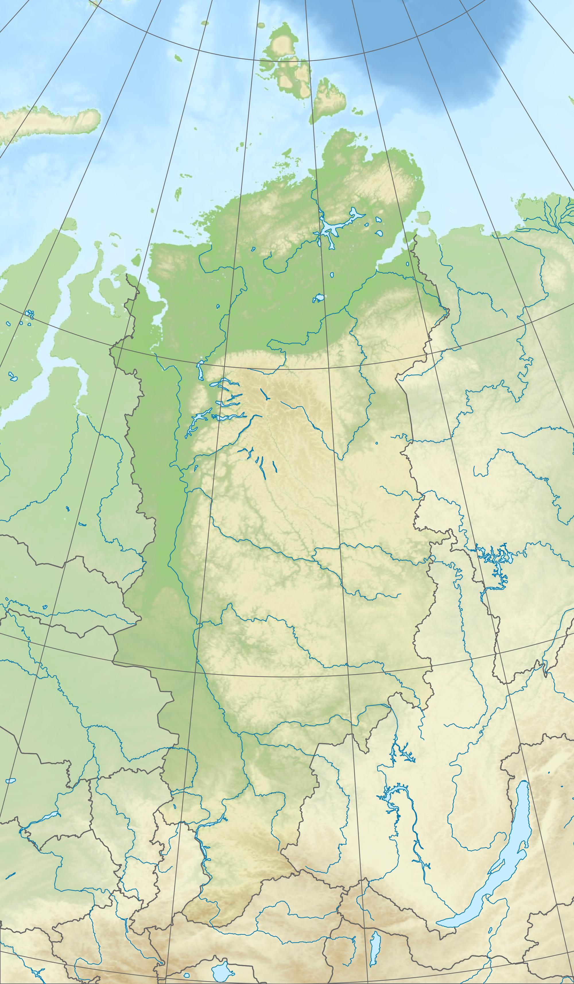
 Approximate extent of the Byrranga Mountains in the Taymyr Peninsula. | |
| Highest point | |
| Peak | Lednikovaya Gora |
| Elevation | 1,121 m (3,678 ft)[1] |
| Coordinates | 76°0′N 108°0′E |
| Dimensions | |
| Length | 1,100 km (680 mi) ENE/WSW |
| Width | 200 km (120 mi) NNW/SSE |
| Geography | |
 Location in Krasnoyarsk Krai, Russia | |
| Location | Taymyr Peninsula |
| Geology | |
| Orogeny | Alpine orogeny |
| Age of rock | Hercynian |
| Type of rock | Siltstones and intrusive rocks |
Even though they were first explored in 1736, the Byrranga Mountains are one of the least known areas of the Arctic. The climate is continental and harsh, with frequent blizzards in the winter.
This mountain range falls into the Krasnoyarsk Krai administrative division of the Russian Federation and is part of the Great Arctic State Nature Reserve, the largest nature reserve in Russia. However, the area is very remote, there is almost no population, and access is very difficult for the lack of roads and settlements.
Geography
They are located north and west of Lake Taymyr and running for about 1,100 km, forming a looping curve that runs roughly in a southwest to northeast direction. The name is from Nganasan бъранга [bəranga] 'large rocky mountain.'[3]
The range has deep canyons and ravines, as well as a few small glaciers in its eastern zones. These mountains are not very high, being on average about 500 m (1,600 ft). The highest peak is 1,121 m (3,678 ft).[1]
Rivers Khutudabiga and Chetyrekh have their sources in the Byrranga Range. The lower Taymyr River flows northwards cutting across these mountains.[4] The lowlands located to the north and the south of these mountains are covered with tundra, small lakes and wetlands (bogs and marshes).[5]

Geology
The Byrranga Range is a Hercynian formation rejuvenated during the Alpine orogeny.[6] It is mainly made up of siltstones and intrusive rocks of neutral composition. There are also vast areas of exposed limestone formation.[7]
See also
- Urstromtal
References
- Leonid M. Baskin: Byrranga Mountains. In: Mark Nuttall (Hrsg.): Encyclopedia of the Arctic. Band 1. Routledge, New York und London 2003, ISBN 1-57958-436-5, S. 298–299
- "Gory Byrranga". Mapcarta. Retrieved 20 December 2016.
- Pospelov, E. M. (1998). Geograficheskie nazvaniya mira (in Russian). Moscow. p. 86. ISBN 5892160297.
- Б. В. Зубовской К истории картографирования центральной части Советской Арктики
- Biogeography of the Byrranga Mountains, Taymyr Peninsula, Russian Arctic
- John Kimble (ed.), Cryosols: Permafrost-Affected Soils
- J. Ehlers, P.L. Gibbard, P.D. Hughes eds. Quaternary Glaciations - Extent and Chronology: A Closer Look, p. 373
External links
Geography topics | |||||||||
|---|---|---|---|---|---|---|---|---|---|
| |||||||||
| Branches |
| ||||||||
| Techniques and tools |
| ||||||||
| Institutions |
| ||||||||
| Education |
| ||||||||
| |||||||||
Physical geography | ||
|---|---|---|
|  | |
| ||
This Krasnoyarsk Krai location article is a stub. You can help Wikipedia by expanding it. |
На других языках
[de] Byrrangagebirge
Das Byrrangagebirge ist ein bis 1121 m[1] (anderen Angaben zufolge 1125 m)[2] hohes, arktisches Mittelgebirge in Nordsibirien (Russland) auf der Taimyrhalbinsel. Weil letztere der nördlichste kontinentale Festlandteil der Erde ist, ist das Byrrangagebirge der nördlichste Festlands-Gebirgszug. Das im Nordosten vielerorts vergletscherte Gebirge wird von der Tundra beherrscht und liegt im Bereich des Permafrostbodens und nördlich der Juli-Isotherme von 10 °C.- [en] Byrranga Mountains
[es] Montes Byrranga
Los montes Byrranga o montañas Byrranga (en ruso, горы Бырранга, Gory Byrranga) son una cadena montañosa de la Siberia rusa localizada en el centro de la península de Taymyr, de media unos 825 km más allá del Círculo Polar Ártico, entre el golfo de Yeniséi (mar de Kara) y el golfo de Játanga (mar de Láptev). La cadena bordea por el norte y el oeste el lago Taimyr, discurriendo unos 1.100 km[1] formando una suerte de bucle abierto, de dirección aproximada SO-NE (en sentido transversal alcanza un máximo de cerca de 200 km[1]). Estas montañas no son muy altas, siendo en promedio de unos 500 m. El pico más alto tiene 1.125m.[2] Administrativamente, toda la cordillera pertenece al krai de Krasnoyarsk de la Federación de Rusia y es parte de la Gran Reserva Natural del Ártico, la reserva natural más grande de Rusia. Dado que la zona es muy remota, casi no hay población y el acceso es muy difícil por la falta de carreteras y asentamientos.[fr] Monts Byrranga
Les monts Byrranga (russe : го́ры Бырра́нга, Gory Byrranga) sont une chaîne de montagnes située sur la péninsule de Taïmyr, dans le District fédéral sibérien, en Russie. Les montagnes ont été explorées pour la première fois en 1736 sous le règne d'Anne Ire.[it] Monti Byrranga
I monti Byrranga (russo, Горы Бырранга, Gory Byrranga) sono una catena montuosa situata nell'estremo settentrione della Siberia centrale, interamente oltre il Circolo Polare Artico.[ru] Бырранга
Бырра́нга (от якут. быран — «холм, гора, хребет») — горы на крайнем севере Восточной Сибири, в Красноярском крае на полуострове Таймыр. Самая северная горная система в России и самая северная материковая горная система на планете.Другой контент может иметь иную лицензию. Перед использованием материалов сайта WikiSort.org внимательно изучите правила лицензирования конкретных элементов наполнения сайта.
WikiSort.org - проект по пересортировке и дополнению контента Википедии