geo.wikisort.org - Mountains
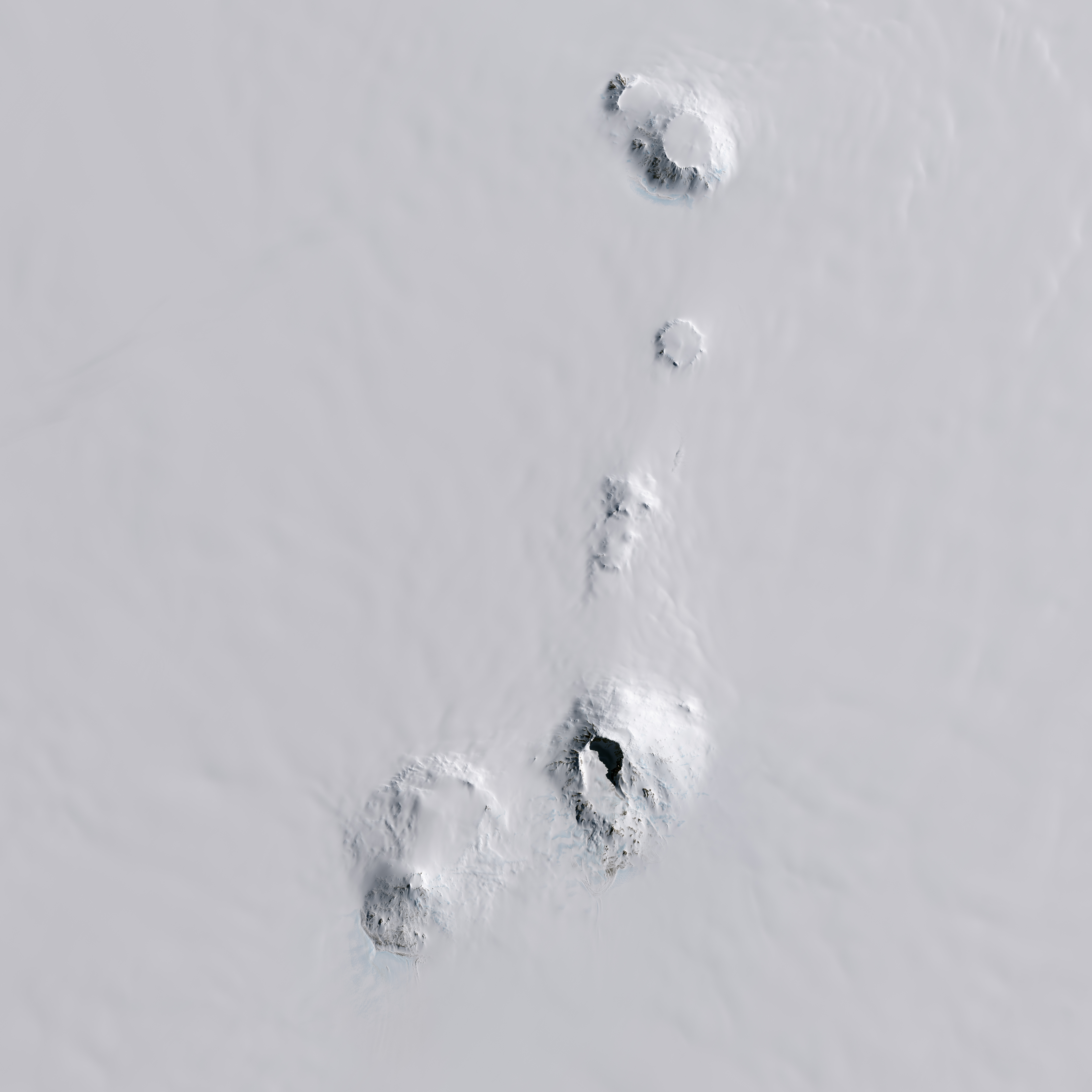
The Boudette Peaks are twin peaks, 2,810 metres (9,220 ft) and 2,815 metres (9,236 ft) high, located 1 nautical mile (2 km) west-southwest of Lavris Peak in the northern portion of Mount Hartigan, in the Executive Committee Range, Marie Byrd Land. They were mapped by the United States Geological Survey (USGS) from surveys and from U.S. Navy trimetrogon photography, 1958–60, and named by the Advisory Committee on Antarctic Names for Eugene L. Boudette, a USGS geologist who was a member of the Marie Byrd Land Traverse Party, 1959–60.[1]
References
- "Boudette Peaks". Geographic Names Information System. United States Geological Survey. Retrieved 2011-08-05.
![]() This article incorporates public domain material from the United States Geological Survey document: "Boudette Peaks". (content from the Geographic Names Information System)
This article incorporates public domain material from the United States Geological Survey document: "Boudette Peaks". (content from the Geographic Names Information System)
This Marie Byrd Land location article is a stub. You can help Wikipedia by expanding it. |
На других языках
[de] Boudette Peaks
Die Boudette Peaks sind zwei 2815 m und 2810 m hohe Berge im westantarktischen Marie-Byrd-Land. Sie ragen 1,5 km westsüdwestlich des Lavris Peak im nördlichen Teil des Massivs von Mount Hartigan in der Executive Committee Range auf.- [en] Boudette Peaks
Другой контент может иметь иную лицензию. Перед использованием материалов сайта WikiSort.org внимательно изучите правила лицензирования конкретных элементов наполнения сайта.
WikiSort.org - проект по пересортировке и дополнению контента Википедии