geo.wikisort.org - Mountains
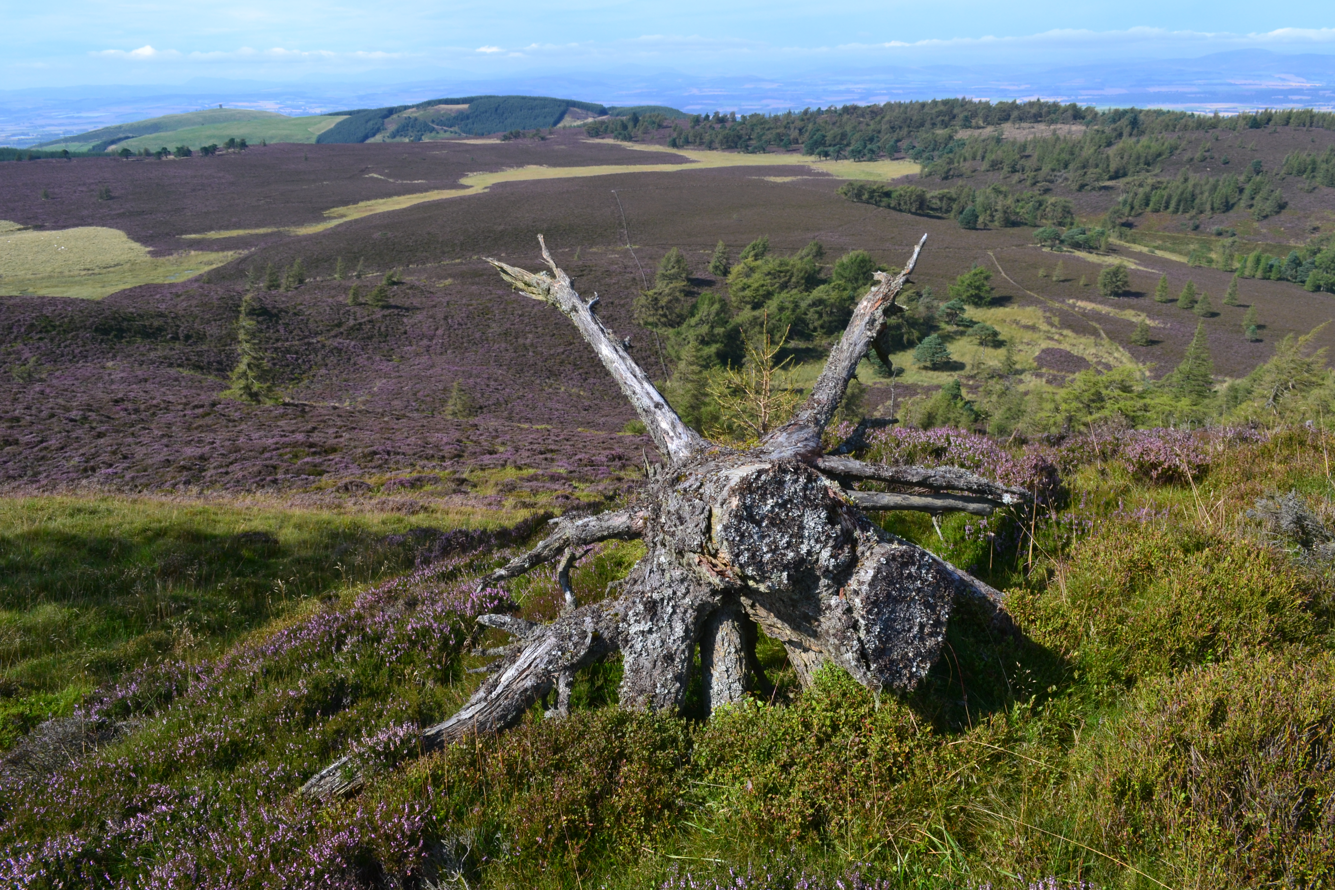
Auchterhouse Hill is the second highest hill of the Sidlaw range in South East Angus. At 424 metres (1,391 ft), it is classified as a Tump with a relative height of 81 metres. Auchterhouse Hill is located near Auchterhouse and is higher than Balkello Hill and is smaller than nearby Craigowl Hill. There is an ancient hill fort on the summit.[1]
| Auchterhouse Hill | |
|---|---|
 | |
| Highest point | |
| Elevation | 424 m (1,391 ft) |
| Coordinates | 56°32′43″N 3°03′05″W |
| Geography | |
| Location | Angus, Scotland |
| Parent range | Sidlaw Hills |
| Topo map | OS Landranger 53 |
| Climbing | |
| Easiest route | Walk on path to summit |
The annual Auchterhouse Hill Race takes place in March.
References
- "Auchterhouse Hill". Gazetteer for Scotland. Retrieved 7 January 2019.
This Angus location article is a stub. You can help Wikipedia by expanding it. |
Текст в блоке "Читать" взят с сайта "Википедия" и доступен по лицензии Creative Commons Attribution-ShareAlike; в отдельных случаях могут действовать дополнительные условия.
Другой контент может иметь иную лицензию. Перед использованием материалов сайта WikiSort.org внимательно изучите правила лицензирования конкретных элементов наполнения сайта.
Другой контент может иметь иную лицензию. Перед использованием материалов сайта WikiSort.org внимательно изучите правила лицензирования конкретных элементов наполнения сайта.
2019-2026
WikiSort.org - проект по пересортировке и дополнению контента Википедии
WikiSort.org - проект по пересортировке и дополнению контента Википедии