geo.wikisort.org - Mountains
Craigowl Hill is a summit towards the eastern end of the Sidlaw Hills in Angus, Scotland. Northeast of Kirkton of Auchterhouse and approximately eight kilometres north of Dundee, Craigowl Hill represents the highest point in the range. It also known for being one of the hardest cycling climbs in Scotland, as a 3.36 km (2 mile) climb at 9.4%.
This article includes a list of general references, but it lacks sufficient corresponding inline citations. (September 2016) |
| Craigowl Hill | |
|---|---|
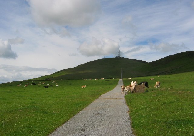 Road leading to masts on Craigowl Hill | |
| Highest point | |
| Elevation | 455 m (1,493 ft) |
| Prominence | 393 m (1,289 ft) |
| Parent peak | Lochnagar |
| Listing | Marilyn, Hardy |
| Geography | |
 Craigowl Hill Sidlaw Hills, Scotland | |
| OS grid | NO376400 |
| Topo map | OS Landranger 53 |
Geodesy
Craigowl Hill was the origin (meridian) of the 6 inch and 1:2500 Ordnance Survey maps of Angus (Forfarshire).[1]
See also
- Wester Denoon
- List of places in Angus
References
- "198 years and 153 meridians, 152 defunct" (PDF). Charlesclosesociety.org. Retrieved 10 September 2016.
External links
| Wikimedia Commons has media related to Craigowl Hill. |
- Computer-generated virtual panoramas Craigowl Hill Index
- Strava segment
This Angus location article is a stub. You can help Wikipedia by expanding it. |
Текст в блоке "Читать" взят с сайта "Википедия" и доступен по лицензии Creative Commons Attribution-ShareAlike; в отдельных случаях могут действовать дополнительные условия.
Другой контент может иметь иную лицензию. Перед использованием материалов сайта WikiSort.org внимательно изучите правила лицензирования конкретных элементов наполнения сайта.
Другой контент может иметь иную лицензию. Перед использованием материалов сайта WikiSort.org внимательно изучите правила лицензирования конкретных элементов наполнения сайта.
2019-2026
WikiSort.org - проект по пересортировке и дополнению контента Википедии
WikiSort.org - проект по пересортировке и дополнению контента Википедии