geo.wikisort.org - Mountains
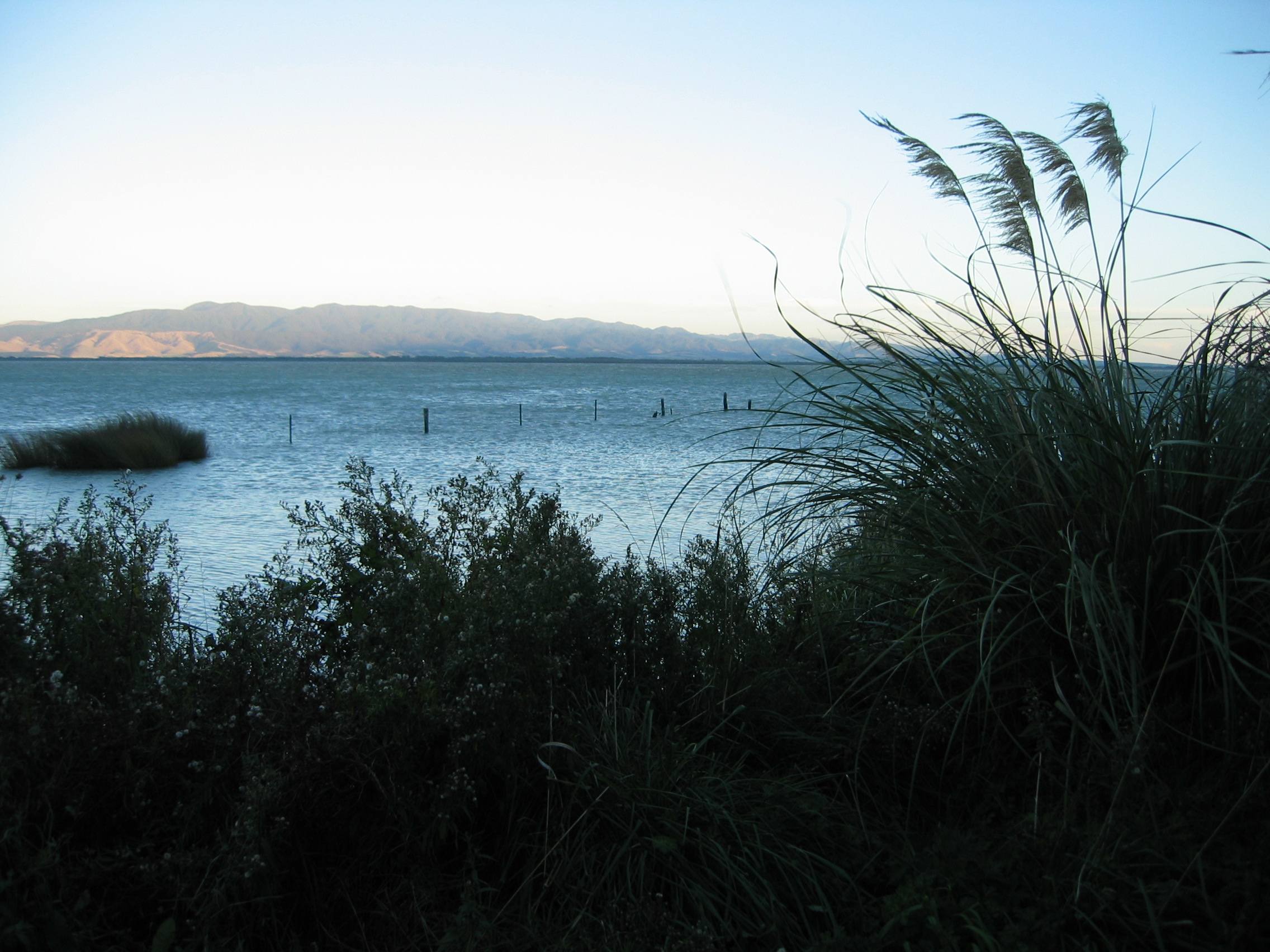
The Aorangi Range (also known as the Haurangi Range) is a mountain range on the North Island of New Zealand. It is located in the Wairarapa region, extending more than 20 kilometres (12 miles) north from Cape Palliser, and is the southernmost mountain range on the island. The greater portion of these mountains are covered in native forest which is protected and set aside for public recreational use as part of the Aorangi Forest Park.[1]
The Putangirua Pinnacles are located near the western edge of the ranges.[2]
Mount Ross
Mount Ross 983 metres (3,225 ft) is the highest point in the Aorangi Range.
References
- "Aorangi Forest Park: Places to go in the Wairarapa". Department of Conservation. Retrieved 25 July 2018.
- "Putangirua Pinnacles Scenic Reserve: Places to go in Wairarapa". Department of Conservation. Retrieved 25 July 2018.
This Wellington Region-related geography article is a stub. You can help Wikipedia by expanding it. |
На других языках
- [en] Aorangi Range
[fr] Monts Aorangi
Les monts Aorangi sont le massif de montagnes le plus méridional de l'île du Nord en Nouvelle-Zélande et s'étend sur plus de 20 km au nord de Cap Palliser. La plus grande partie de ces montagnes sont couvertes de forêts primaires et sont protégées et sont destinées à des fins récréatives[1].Текст в блоке "Читать" взят с сайта "Википедия" и доступен по лицензии Creative Commons Attribution-ShareAlike; в отдельных случаях могут действовать дополнительные условия.
Другой контент может иметь иную лицензию. Перед использованием материалов сайта WikiSort.org внимательно изучите правила лицензирования конкретных элементов наполнения сайта.
Другой контент может иметь иную лицензию. Перед использованием материалов сайта WikiSort.org внимательно изучите правила лицензирования конкретных элементов наполнения сайта.
2019-2026
WikiSort.org - проект по пересортировке и дополнению контента Википедии
WikiSort.org - проект по пересортировке и дополнению контента Википедии