geo.wikisort.org - Mountains
The Ahmar Mountains is a mountain range of the Ethiopian Highlands, located in the eastern Oromia Region of Ethiopia.
This article does not cite any sources. (September 2013) |
| Ahmar Mountains | |
|---|---|
 | |
| Highest point | |
| Peak | Kundudo |
| Elevation | 3,380 m (11,090 ft) |
| Geography | |

| |
| Country | Ethiopia |
| Region | Oromia Region |
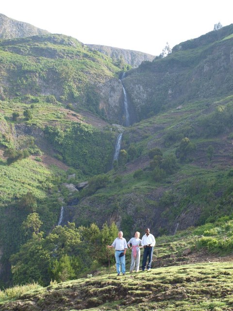
The range has an average elevation of 2,965 metres (9,728 ft) above sea level.
The mountain range is located approximately 11 km (7 mi) south of Dire Dawa, 12 km (7 mi) from Jijiga by road.
History
This mountain was mentioned by the British explorer Richard F. Burton, whose party traveled along its northern base January 1854, on their way to Harar.
Climate
Elevation is the major factor in temperature levels, with the higher areas, on average, 10 °C (17 °F) cooler, day or night. The overnight lows are not like the "Garden of Eden" because heavy clothes or blankets are needed in the highlands, when the temperature drops to roughly 50–53 °F (10–12.2 °C) at night.
The ecology of this landform is semi-desert.
References
This Ethiopia location article is a stub. You can help Wikipedia by expanding it. |
На других языках
- [en] Ahmar Mountains
[it] Monti Ahmar
I Monti Ahmar sono una catena montuosa adiacente alla città Etiope di Diredaua. Alcune cime montuose che sorgono nelle vicinanze sono:Другой контент может иметь иную лицензию. Перед использованием материалов сайта WikiSort.org внимательно изучите правила лицензирования конкретных элементов наполнения сайта.
WikiSort.org - проект по пересортировке и дополнению контента Википедии