geo.wikisort.org - Bergen
Der Mount Taylor ist ein 3440 m hoher Vulkan in der Nähe von Albuquerque, New Mexico, USA; vor über einer Million Jahre war er das letzte Mal aktiv.
| Mount Taylor | ||
|---|---|---|
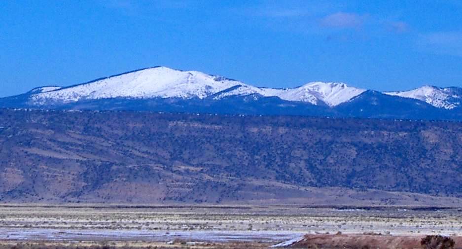 | ||
| Höhe | 3440 m | |
| Lage | New Mexico, USA | |
| Koordinaten | 35° 14′ 19″ N, 107° 36′ 30″ W | |
| Topo-Karte | USGS Mount Taylor (NM) | |
| ||
| Typ | Schichtvulkan, erloschen | |
| Alter des Gesteins | über 1 Mio. Jahre | |

Er ist sowohl bei den Diné (Navajo) (als Tsoodzil (Bedeutung unbekannt), auch Dootl’izhiidziil (wahrscheinlich Na-Dené-Sprachfamilie für 'Türkisberg'), Heiliger Berg des Südens), als auch bei den Acoma einer ihrer heiligen Berge (sacred mountains).
Weblinks
- Mt. Taylor bei Oregonstate (englisch)
- Website über Navajo und Mt. Taylor (engl.)
На других языках
- [de] Mount Taylor (New Mexico)
[en] Mount Taylor (New Mexico)
Mount Taylor (Navajo: Tsoodził) is a dormant stratovolcano in northwest New Mexico, northeast of the town of Grants.[3] It is the high point of the San Mateo Mountains[lower-alpha 1] and the highest point in the Cibola National Forest.[fr] Mont Taylor
Le mont Taylor, en anglais Mount Taylor, est un sommet montagneux et un volcan américain dans le comté de Cibola, au Nouveau-Mexique. Il culmine à 3 445 mètres d'altitude au sein de la forêt nationale de Cibola. Montagne sacrée des Navajos, il apparaît sur le grand sceau de la nation navajo comme une série de pics bleus.Текст в блоке "Читать" взят с сайта "Википедия" и доступен по лицензии Creative Commons Attribution-ShareAlike; в отдельных случаях могут действовать дополнительные условия.
Другой контент может иметь иную лицензию. Перед использованием материалов сайта WikiSort.org внимательно изучите правила лицензирования конкретных элементов наполнения сайта.
Другой контент может иметь иную лицензию. Перед использованием материалов сайта WikiSort.org внимательно изучите правила лицензирования конкретных элементов наполнения сайта.
2019-2026
WikiSort.org - проект по пересортировке и дополнению контента Википедии
WikiSort.org - проект по пересортировке и дополнению контента Википедии