geo.wikisort.org - Bergen
Der Beroe Hill (englisch; bulgarisch хълм Берое chalm Beroe) ist ein über 400 m hoher Hügel auf der Livingston-Insel im Archipel der Südlichen Shetlandinseln. Er bildet 4,7 km nordnordöstlich des Rezen Knoll und 3 km nordwestlich des Hemus Peak den südwestlichen Ausläufer der Gleaner Heights.
| Beroe Hill | ||
|---|---|---|
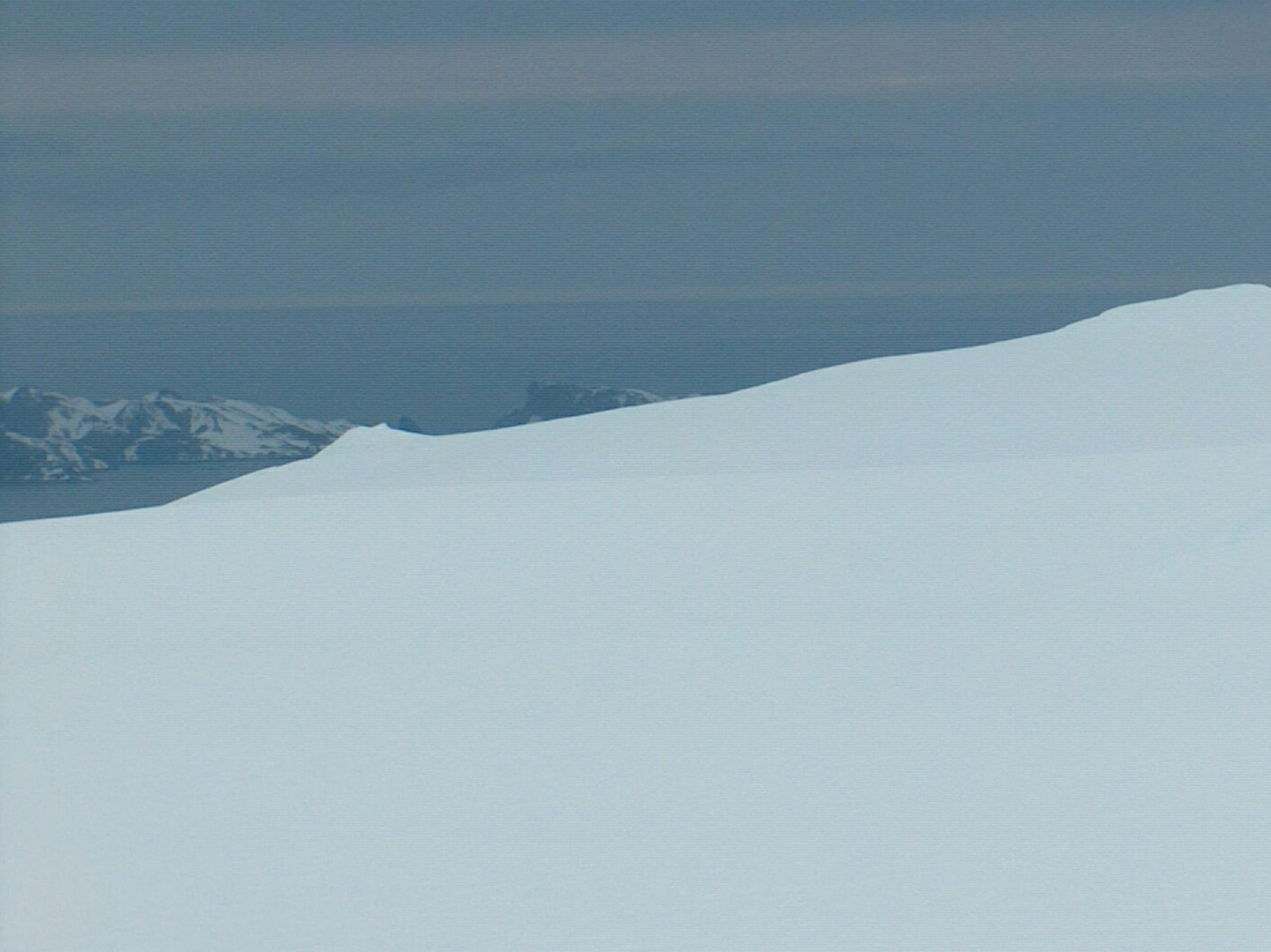 | ||
| Höhe | 400 m | |
| Lage | Livingston-Insel, Südliche Shetlandinseln | |
| Gebirge | Gleaner Heights | |
| Koordinaten | 62° 35′ 4″ S, 60° 15′ 29″ W | |
| ||

Bulgarische Wissenschaftler kartierten ihn zwischen 2004 und 2005 im Zuge der Vermessungen der Tangra Mountains. Die bulgarische Kommission für Antarktische Geographische Namen benannte ihn 2005 nach der thrakischen Stadt Beroe, die heute im Stadtgebiet von Stara Sagora im Zentrum Bulgariens liegt.
Weblinks
- Beroe Hill im Composite Gazetteer of Antarctica (englisch)
На других языках
- [de] Beroe Hill
[en] Beroe Hill
Beroe Hill (Halm Beroe \'h&lm be-'ro-e\) is a hill of 400 m in the southwest extremity of Gleaner Heights, Livingston Island, West Antarctica. It is surmounting Perunika Glacier to the south and Saedinenie Snowfield to the northwest. The hill was named after the ancient Thracian town of Beroe, ancestor of the present city of Stara Zagora.Текст в блоке "Читать" взят с сайта "Википедия" и доступен по лицензии Creative Commons Attribution-ShareAlike; в отдельных случаях могут действовать дополнительные условия.
Другой контент может иметь иную лицензию. Перед использованием материалов сайта WikiSort.org внимательно изучите правила лицензирования конкретных элементов наполнения сайта.
Другой контент может иметь иную лицензию. Перед использованием материалов сайта WikiSort.org внимательно изучите правила лицензирования конкретных элементов наполнения сайта.
2019-2026
WikiSort.org - проект по пересортировке и дополнению контента Википедии
WikiSort.org - проект по пересортировке и дополнению контента Википедии