geo.wikisort.org - Bergen
Der Argosy-Gletscher (von englisch argosy ‚großes Handelsschiff‘) ist ein 24 km langer Gletscher in der antarktischen Ross Dependency. In der Miller Range des Transantarktischen Gebirges fließt er in östlicher Richtung zum Marsh-Gletscher, den er nördlich der Kreiling Mesa erreicht.
| Argosy-Gletscher | ||
|---|---|---|
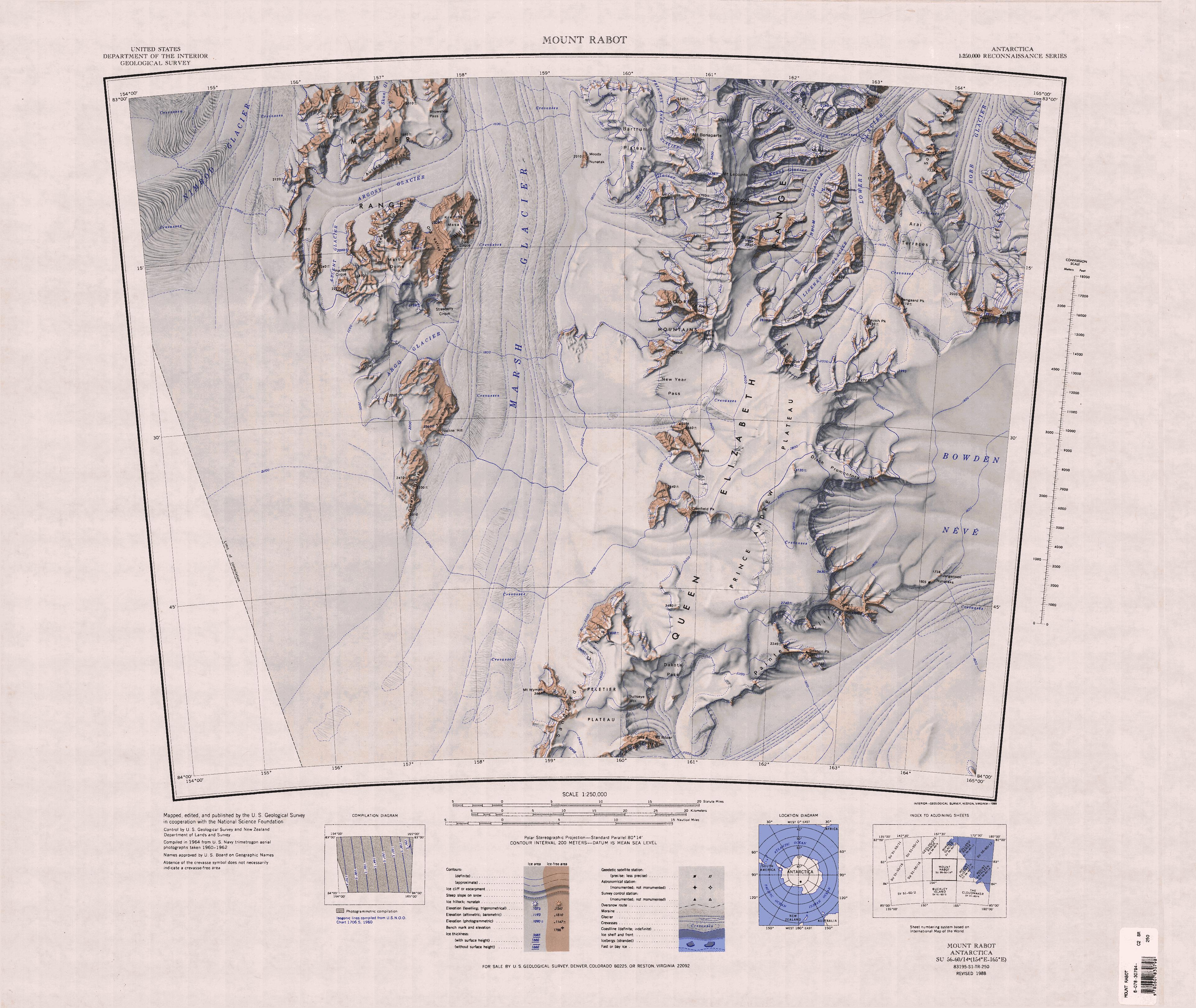 Argosy-Gletscher (linke Kartenhälfte, oben) | ||
| Lage | Ross Dependency, Antarktika | |
| Gebirge | Miller Range, Transantarktisches Gebirge | |
| Länge | 24 km | |
| Koordinaten | 83° 8′ S, 157° 35′ O | |
| ||
| Entwässerung | Marsh-Gletscher | |

Die Benennung geht auf Teilnehmer der New Zealand Geological Survey Antarctic Expedition (1961–1962) zurück.
Weblinks
- Argosy Glacier im Geographic Names Information System des United States Geological Survey (englisch)
- Argosy Glacier auf geographic.org (englisch)
На других языках
- [de] Argosy-Gletscher
[it] Ghiacciaio Argosy
Il ghiacciaio Argosy è un ghiacciaio tributario lungo circa 30 km situato nella regione meridionale della Terra di Oates, nell'Antartide orientale. Il ghiacciaio, il cui punto più alto si trova a circa 2200 m s.l.m., si trova in particolare nelle montagne di Miller, nell'entroterra della costa di Shackleton, dove ha origine direttamente dall'Altopiano Antartico e fluisce verso est-nord-est, dividendo in due la catena montuosa e costeggiando il versante meridionale delle cime Aurora, fino a unire il proprio flusso, a cui lungo il percorso si è unito quello del ghiacciaio Ascent, a quello del ghiacciaio Marsh, a nord della mesa di Kreiling.[1]Текст в блоке "Читать" взят с сайта "Википедия" и доступен по лицензии Creative Commons Attribution-ShareAlike; в отдельных случаях могут действовать дополнительные условия.
Другой контент может иметь иную лицензию. Перед использованием материалов сайта WikiSort.org внимательно изучите правила лицензирования конкретных элементов наполнения сайта.
Другой контент может иметь иную лицензию. Перед использованием материалов сайта WikiSort.org внимательно изучите правила лицензирования конкретных элементов наполнения сайта.
2019-2026
WikiSort.org - проект по пересортировке и дополнению контента Википедии
WikiSort.org - проект по пересортировке и дополнению контента Википедии