geo.wikisort.org - Bergen
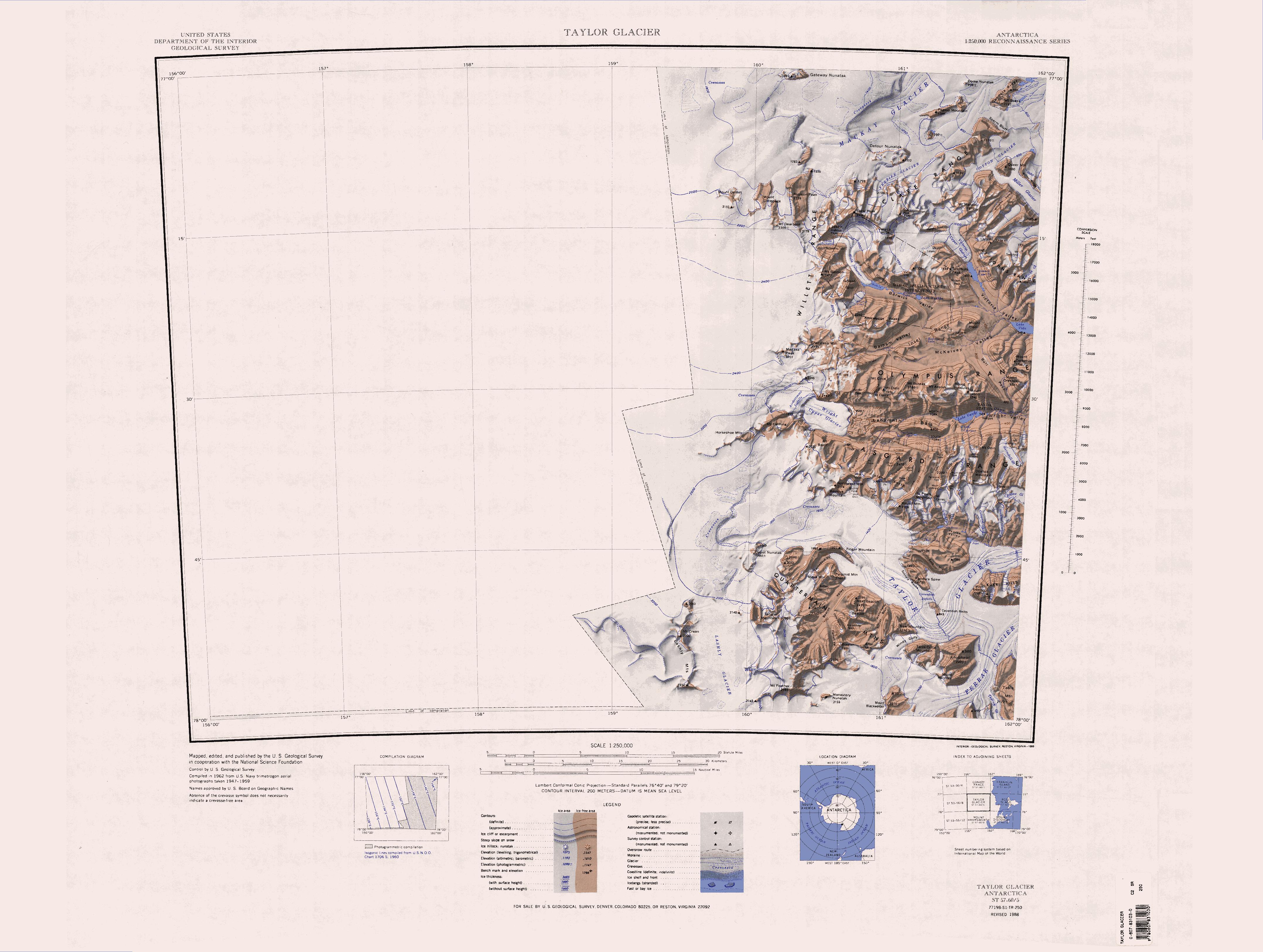
Die Apocalypse Peaks sind eine Gruppe von Berggipfeln, die östlich der Willett Range zwischen dem Barwick Valley und dem Balham Valley im antarktischen Viktorialand aufragen. Höchster Gipfel der Gruppe ist mit 2360 m Mount Dragovan.
| Apocalypse Peaks | ||
|---|---|---|
 ASTER-Satellitenbild der Apocalypse Peaks: links der Huka-Kapo-, oben der Haselton-Gletscher, rechts das Barwick- und unten das Balham Valley | ||
| Höchster Gipfel | Mount Dragovan (2360 m) | |
| Lage | Viktorialand, Ostantarktika | |
| Teil des | Transantarktischen Gebirges | |
| ||
| Koordinaten | 77° 23′ S, 160° 51′ O | |

Teilnehmer einer von 1958 bis 1959 durchgeführten Kampagne im Rahmen der neuseeländischen Victoria University’s Antarctic Expeditions benannten sie so, weil Geröllhänge zwischen den einzelnen Gipfeln sie wie die Apokalyptischen Reiter erscheinen lassen.
Weblinks
- Apocalypse Peaks im Geographic Names Information System des United States Geological Survey (englisch)
- Apocalypse Peaks auf geographic.org (englisch)
- Apocalypse Peaks. Foto auf antarcticanz.govt.nz (englisch)
На других языках
- [de] Apocalypse Peaks
[en] Apocalypse Peaks
The Apocalypse Peaks (.mw-parser-output .geo-default,.mw-parser-output .geo-dms,.mw-parser-output .geo-dec{display:inline}.mw-parser-output .geo-nondefault,.mw-parser-output .geo-multi-punct{display:none}.mw-parser-output .longitude,.mw-parser-output .latitude{white-space:nowrap}77°23′S 160°51′E) are a group of peaks with a highest point of 2,360 metres (7,740 ft), standing east of Willett Range and between Barwick Valley and Balham Valley, in Victoria Land, Antarctica. The peaks were so named by the Victoria University of Wellington Antarctic Expedition (VUWAE) (1958–59) because the peaks are cut by talus slopes which gives them the appearance of the "Riders of the Apocalypse." The peaks lie on the Pennell Coast, a portion of Antarctica lying between Cape Williams and Cape Adare.[fr] Pics Apocalypse
Les pics Apocalypse sont un groupe de pics montagneux dont le point culminant s'élève à 2 360 m d'altitude, à l’est du chaînon Willett (en), entre la vallée Barwick (en) et celle de Balham (en), dans la terre Victoria, en Antarctique. Les pics ont été ainsi nommés par l'expédition antarctique de l'Université Victoria de Wellington (1958-1959) car ils sont parsemés d'éboulis, ce qui leur donne un aspect chaotique apparenté aux cavaliers de l'Apocalypse. Les pics s'étendent sur la côte Pennell, une partie de l’Antarctique située entre le cap Williams et le cap Adare.Текст в блоке "Читать" взят с сайта "Википедия" и доступен по лицензии Creative Commons Attribution-ShareAlike; в отдельных случаях могут действовать дополнительные условия.
Другой контент может иметь иную лицензию. Перед использованием материалов сайта WikiSort.org внимательно изучите правила лицензирования конкретных элементов наполнения сайта.
Другой контент может иметь иную лицензию. Перед использованием материалов сайта WikiSort.org внимательно изучите правила лицензирования конкретных элементов наполнения сайта.
2019-2026
WikiSort.org - проект по пересортировке и дополнению контента Википедии
WikiSort.org - проект по пересортировке и дополнению контента Википедии