geo.wikisort.org - Île
L'île Alexandre-Ier, appelée aussi île ou terre Alexandre, est la plus grande île de l'Antarctique.
Pour les articles homonymes, voir Alexandre et Alexandre Ier.
Cet article est une ébauche concernant le monde insulaire et l’Antarctique.
Vous pouvez partager vos connaissances en l’améliorant (comment ?) selon les recommandations des projets correspondants.
| Île Alexandre-Ier | |||
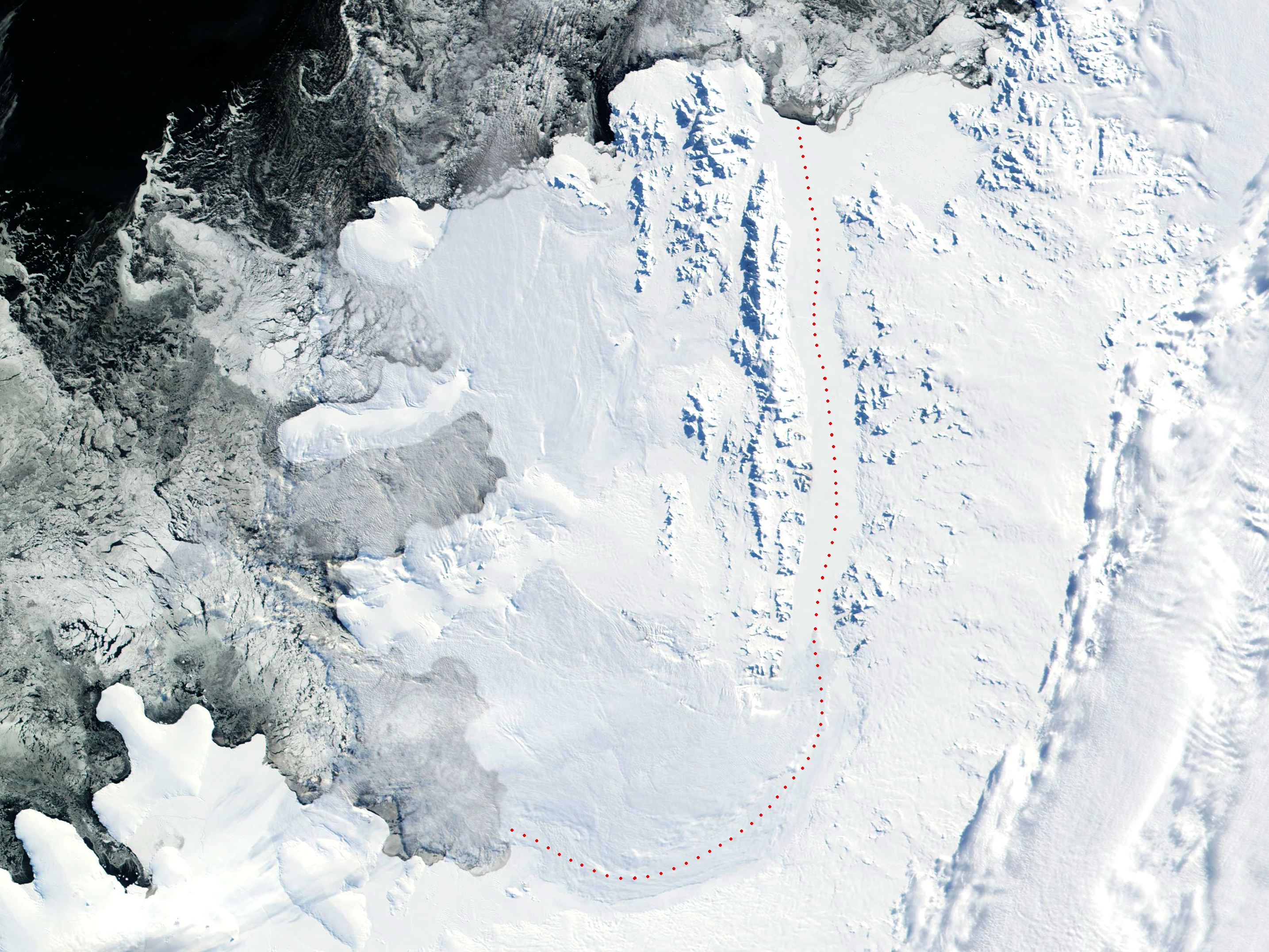 Vue satellite | |||
| Géographie | |||
|---|---|---|---|
| Continent | |||
| Localisation | Mer de Bellingshausen (océan Pacifique) | ||
| Coordonnées | 71° S, 70° O | ||
| Superficie | 49 069,9 km2 | ||
| Point culminant | Mont Stephenson (2 987 m) | ||
| Géologie | Île continentale | ||
| Administration | |||
| Secteur | Territoire chilien de l'Antarctique, Territoire britannique antarctique, Antarctique argentine | ||
| Démographie | |||
| Population | Aucun habitant | ||
| Autres informations | |||
| Découverte | 1821 | ||
| Géolocalisation sur la carte : Antarctique
Géolocalisation sur la carte : péninsule Antarctique
| |||
| Îles en Antarctique | |||
| modifier |
|||


Géographie
Située dans la mer de Bellingshausen, le long de la côte ouest de la péninsule Antarctique dont elle n'est séparée que par le détroit Georges VI, large d'une quarantaine de kilomètres et par la baie Marguerite au nord, elle a une superficie totale de 49 069,9 km2[1].
L'île Alexandre mesure environ 390 km de long dans un sens nord-sud pour 80 km de large dans le nord et 240 km dans le sud.
Histoire
L'île a été découverte le par l'explorateur Fabian Gottlieb von Bellingshausen, lors de l'expédition antarctique russe. L'île fut nommée ainsi en l'honneur du tsar régnant Alexandre Ier. Mais elle fut au départ appelée Terre d'Alexandre Ier car on a cru jusqu'en 1940, qu'elle était une partie du continent antarctique. Sa nature insulaire ne fut prouvée qu'en , lors d'une expédition en traîneau menée par Finn Ronne du United States Antarctic Service (USAS), le Département américain de l'Antarctique[2]. Dans les années 1950, une base britannique administrée comme partie du territoire antarctique britannique a été construite à Fossil Bluff. Elle est maintenant utilisée comme centre d'observation météo et comme réserve de carburant.
La souveraineté de l'île est réclamée par le Royaume-Uni, le Chili et l'Argentine mais l'île se trouve sous le traité sur l'Antarctique.
Articles connexes
- Antarctique
- Liste des îles de l'Antarctique
- Liste des modelés de l'île Alexandre nommés d'après un compositeur
Notes et références
- Fiche descriptive publiée par le Programme des Nations unies pour l'environnement.
- Fiche descriptive publiée par l'USGS.
 Portail de l’Antarctique
  Portail du monde insulaire
  Portail de l’Argentine
  Portail du Chili
  Portail des Territoires britanniques d'outre-mer
На других языках
[de] Alexander-I.-Insel
Die Alexander-I.-Insel (analog zum Englischen auch Alexanderinsel genannt) ist mit etwa 49.000 km² Fläche die größte Insel der Antarktis. Sie liegt vor der Westküste der Antarktischen Halbinsel in der Bellingshausensee und erstreckt sich über etwa 378 km Länge und 200 km Breite. Ihre Küstenlänge beträgt etwa 2185 km. Die Insel ist durch das Schelfeis des George-VI-Sunds mit dem Kontinent Antarktis verbunden und daher auf Satellitenfotos nur schwer als Insel zu erkennen. Tatsächlich liegt sie nur ca. 20 km vor der antarktischen Küste, von der sie durch den George-VI-Sund getrennt wird. Das Klima auf der Alexander-I.-Insel ist entsprechend ihrer geografischen Lage polar und sie ist praktisch vollständig vereist.[en] Alexander Island
Alexander Island, which is also known as Alexander I Island, Alexander I Land, Alexander Land, Alexander I Archipelago, and Zemlja Alexandra I, is the largest island of Antarctica. It lies in the Bellingshausen Sea west of Palmer Land, Antarctic Peninsula from which it is separated by Marguerite Bay and George VI Sound. The George VI Ice Shelf entirely fills George VI Sound and connects Alexander Island to Palmer Land. The island partly surrounds Wilkins Sound, which lies to its west.[1] Alexander Island is about 390 kilometres (240 mi) long in a north–south direction, 80 kilometres (50 mi) wide in the north, and 240 kilometres (150 mi) wide in the south.[2] Alexander Island is the second-largest uninhabited island in the world, after Devon Island.[es] Isla Alejandro I
La isla Alejandro I es una gran isla de la Antártida ubicada al sureste del mar de Bellingshausen y suroeste de la península Antártica (costas Rymill y English), de la que está separada por la bahía Margarita y el canal Sarmiento (denominado canal Jorge VI por Inglaterra), casi todo el año cubierto por hielo permanente por la barrera de hielo Sarmiento. Tiene forma de cucharón y unos 440 kilómetros entre sus extremos norte y sur, y unos 250 kilómetros de ancho. Su área de 43 250 km² la convierten en la mayor isla de la Antártida, la mayor de las islas de las Antillas del Sur y la 28ª isla del mundo.- [fr] Île Alexandre-Ier
[it] Isola Alessandro I
L'isola Alessandro I è la più grande isola dell'Antartide, con un'area di 49070 km². È situata nel mare di Bellingshausen, ad ovest della penisola Antartica, dalla quale è separata dalla baia Margherita e dal canale di Giorgio VI, ed è collegata alla costa antartica soltanto da una piattaforma di ghiaccio.[ru] Земля Александра I
Земля Александра I (Остров Александра I) — крупнейший остров Антарктики, площадью 43 250 км². Он расположен в море Беллинсгаузена к западу от Земли Палмера, Антарктического полуострова, от которого он отделён заливом Маргариты[en] и проливом Георга VI. Шельфовый ледник Георга VI[en] полностью заполняет пролив Георга VI и соединяет Землю Александра I с Землёй Палмера. Остров частично окружён проливом Уилкинса[en], который расположен к западу от него[1]. Земля Александра I имеет длину около 390 километров (240 миль) в направлении север-юг, 80 километров (50 миль) в ширину на севере и 240 километров (150 миль) в ширину на юге[2]. Земля Александра I является вторым по величине необитаемым островом в мире после острова Девон.Другой контент может иметь иную лицензию. Перед использованием материалов сайта WikiSort.org внимательно изучите правила лицензирования конкретных элементов наполнения сайта.
WikiSort.org - проект по пересортировке и дополнению контента Википедии