geo.wikisort.org - Île
Ticao est l'une des trois îles majeures formant la province de Masbate aux Philippines.
Cet article est une ébauche concernant le monde insulaire et les Philippines.
Vous pouvez partager vos connaissances en l’améliorant (comment ?) selon les recommandations des projets correspondants.
| Ticao | ||

| ||
| Géographie | ||
|---|---|---|
| Pays | ||
| Coordonnées | 12° 32′ N, 123° 42′ E | |
| Superficie | 334 km2 | |
| Administration | ||
| Province | Masbate | |
| Autres informations | ||
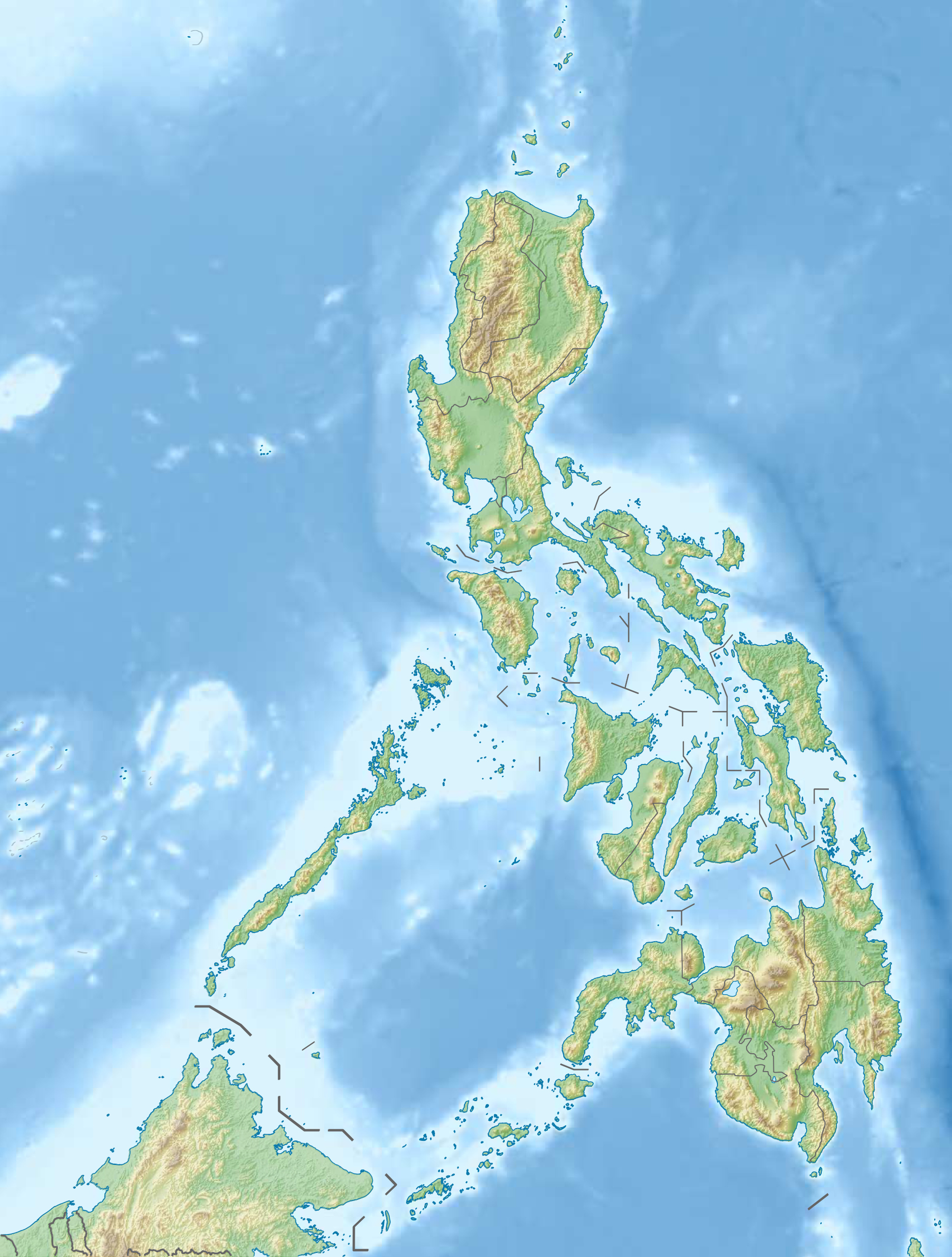
| Géolocalisation sur la carte : Philippines
| ||
| Île aux Philippines | ||
| modifier |
||
Elle fait 334 km2 et est subdivisée en 4 municipalités :
- Batuan,
- Monreal,
- San Fernando,
- San Jacinto.
 Portail des Philippines
  Portail du monde insulaire
На других языках
[de] Ticao
Ticao ist eine Insel in der Sibuyan-See und ist – neben Masbate und Burias – eine der drei Hauptinseln der philippinischen Provinz Masbate.[en] Ticao Island
Ticao Island, is an island with a total land area of 334 km2 or 129 sq mi. It is one of the three major islands of Masbate province in the Philippines. It is separated from the Bicol Peninsula by the Ticao Pass. The other two major islands are Masbate Island (3,290 km2 or 1,270 sq mi) and Burias Island (424 km2 or 164 sq mi).[1]- [fr] Ticao
Текст в блоке "Читать" взят с сайта "Википедия" и доступен по лицензии Creative Commons Attribution-ShareAlike; в отдельных случаях могут действовать дополнительные условия.
Другой контент может иметь иную лицензию. Перед использованием материалов сайта WikiSort.org внимательно изучите правила лицензирования конкретных элементов наполнения сайта.
Другой контент может иметь иную лицензию. Перед использованием материалов сайта WikiSort.org внимательно изучите правила лицензирования конкретных элементов наполнения сайта.
2019-2025
WikiSort.org - проект по пересортировке и дополнению контента Википедии
WikiSort.org - проект по пересортировке и дополнению контента Википедии