geo.wikisort.org - Île
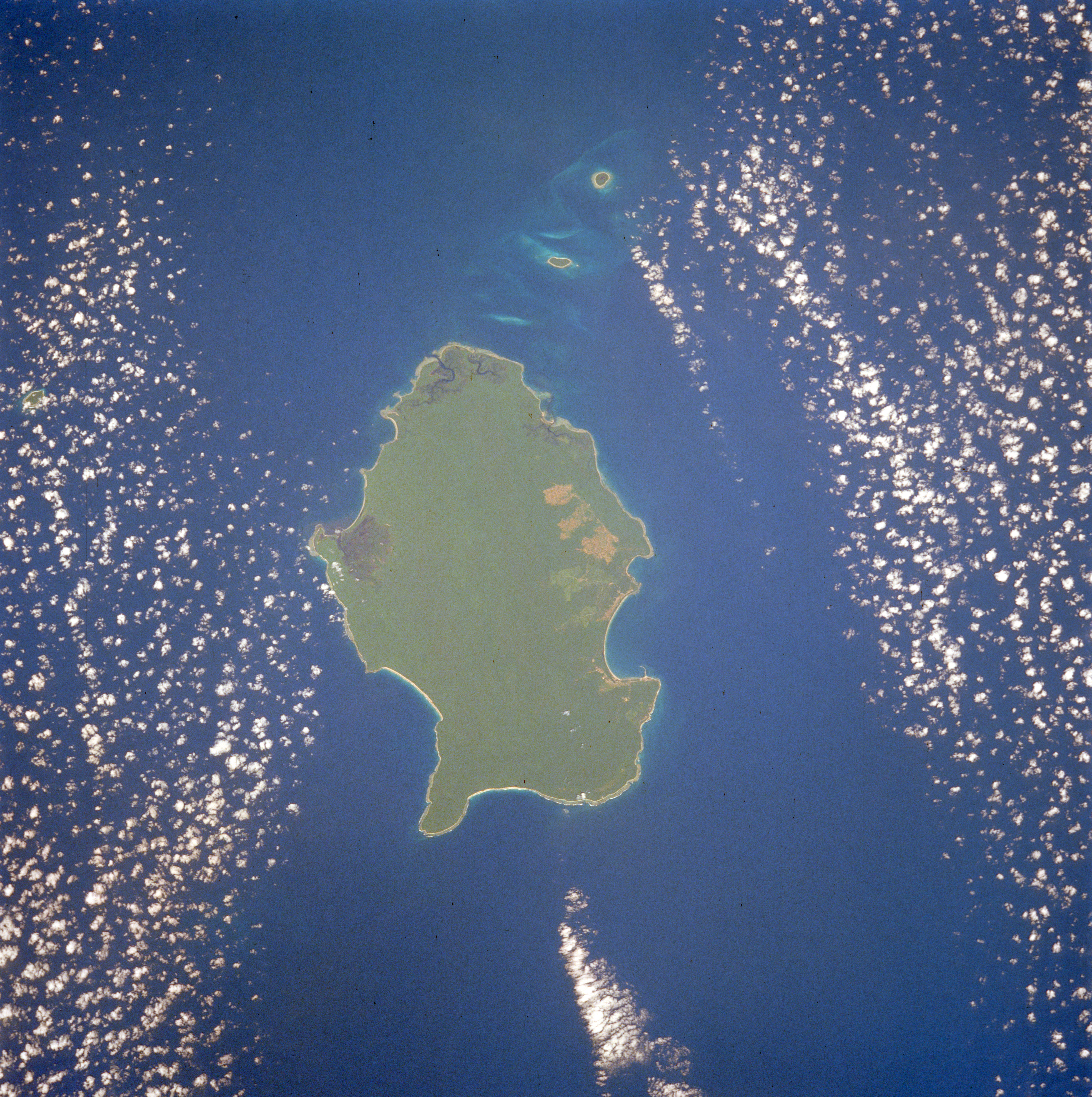
La Petite Andaman (en Onge: Gaubolambe) est la quatrième des îles Andaman par la taille. Sa superficie est de 739 km². Elle est située à l'extrémité sud de l'archipel, et est séparée de la Grande Andaman par le détroit de Duncan. Elle est le territoire de la tribu Onge et est classée comme réserve tribale depuis 1957.
Cet article est une ébauche concernant le monde insulaire et l’Inde.
Vous pouvez partager vos connaissances en l’améliorant (comment ?) selon les recommandations des projets correspondants.
| Petite Andaman | ||||
 îles Andaman, avec la Petite Andaman en rouge | ||||
| Géographie | ||||
|---|---|---|---|---|
| Pays | ||||
| Archipel | Îles Andaman | |||
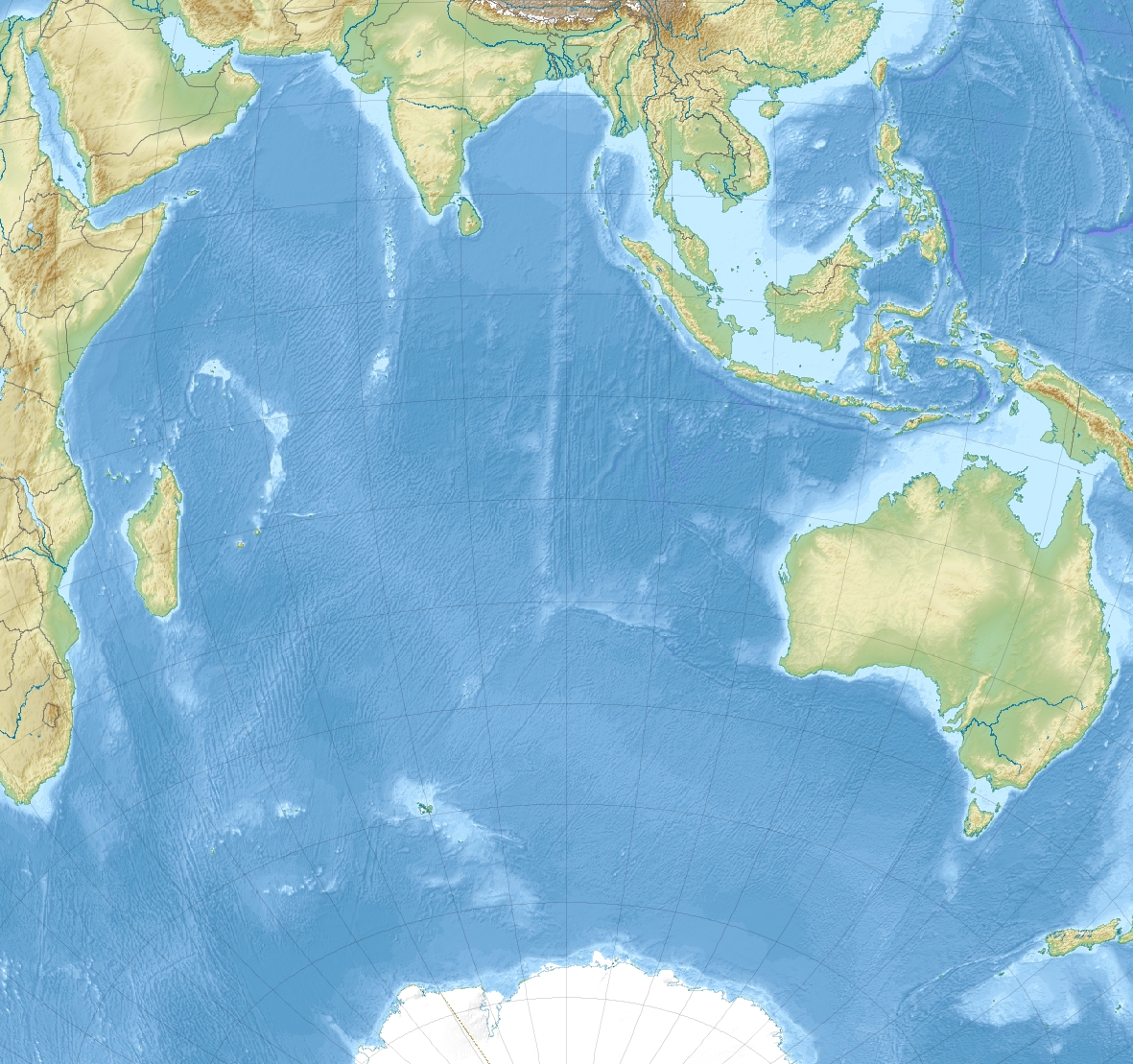
| Localisation | Océan Indien | |||
| Coordonnées | 10° 45′ N, 92° 30′ E | |||
| Superficie | 739 km2 | |||
| Administration | ||||
| Territoire | Îles Andaman-et-Nicobar | |||
| Démographie | ||||
| Population | 17 528 hab. (2001) | |||
| Densité | 23,72 hab./km2 | |||
| Autres informations | ||||
| Fuseau horaire | UTC+5:30 | |||
| Géolocalisation sur la carte : Inde
Géolocalisation sur la carte : océan Indien
Géolocalisation sur la carte : Andaman-et-Nicobar
| ||||
| Île en Inde | ||||
| modifier |
||||


L'île, peu élevée, contient une forêt tropicale très étendue et plusieurs espèces rares de tortues marines. Dans les années 1960, le gouvernement de l'Inde a lancé un programme de colonisation axé sur l'exploitation forestière, mais celui-ci a ensuite été largement abandonné et une ordonnance judiciaire de 2002 a confirmé que l'île était protégée.
Notes et références
- (en) Cet article est partiellement ou en totalité issu de l’article de Wikipédia en anglais intitulé « Little Andaman » (voir la liste des auteurs).
 Portail de l’Inde
  Portail du monde insulaire
  Portail de l’océan Indien
На других языках
[de] Little Andaman
Klein-Andaman, engl. Little Andaman (in der Sprache der Onge: Gaubolambe[1] oder Egu Belong[2]) ist eine Insel der Andamanen im Golf von Bengalen, die zu Indien gehören. Östlich der Insel erstreckt sich die Andamanensee. Politisch gehört die Insel zum indischen Unionsterritorium Andamanen und Nikobaren. Sie ist die viertgrößte und südlichste Insel der Andamanen, mit einer Fläche von 734,4 km².[3][4] Die relativ flache Insel steigt ganz allmählich bis zur höchsten Erhebung von 183 Metern im Zentrum an.[5][en] Little Andaman
Little Andaman Island (Onge: Gaubolambe) is the fourth largest of the Andaman Islands of India with an area of 707 km2, lying at the southern end of the archipelago. It belongs to the South Andaman administrative district, part of the Indian union territory of Andaman and Nicobar Islands.[6] It lies 88 km (55 mi) south of Port Blair, the capital of Andaman and Nicobar Islands.- [fr] Petite Andaman
[it] Piccola Andaman
Piccola Andaman (lingua Önge: Gaubolambe) è un'isola delle Andamane, la quarta più grande dell'arcipelago. Fa parte del distretto di Andaman Meridionale, appartenente al territorio indiano delle Andamane e Nicobare.[1][ru] Малый Андаман
Ма́лый Анда́ман[1] (англ. Little Andaman island, хинди लिटल अंदमान, на языке Онге: Gaubolambe) — четвёртый по площади остров Андаманских островов площадью в 734,39 км²[2], находящийся в южной части архипелага. От острова Рутланд, архипелага Большой Андаман, отделён проливом Дункан.Другой контент может иметь иную лицензию. Перед использованием материалов сайта WikiSort.org внимательно изучите правила лицензирования конкретных элементов наполнения сайта.
WikiSort.org - проект по пересортировке и дополнению контента Википедии