geo.wikisort.org - Île
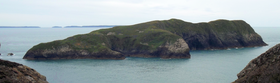
Ynys Bery est une île du pays de Galles située dans le Pembrokeshire, au sud-ouest de l'Ynys Cantwr.
Cet article est une ébauche concernant le monde insulaire et le pays de Galles.
Vous pouvez partager vos connaissances en l’améliorant (comment ?) selon les recommandations des projets correspondants.
| Ynys Bery | ||
| ||
| Géographie | ||
|---|---|---|
| Pays | ||
| Archipel | Îles Britanniques | |
| Localisation | Mer Celtique | |
| Coordonnées | 51° 50′ 57″ N, 5° 20′ 09″ O | |
| Point culminant | 71 m | |
| Administration | ||
| Nation constitutive | ||
| Démographie | ||
| Population | Aucun habitant | |
| Autres informations | ||
| Fuseau horaire | UTC±00:00 | |
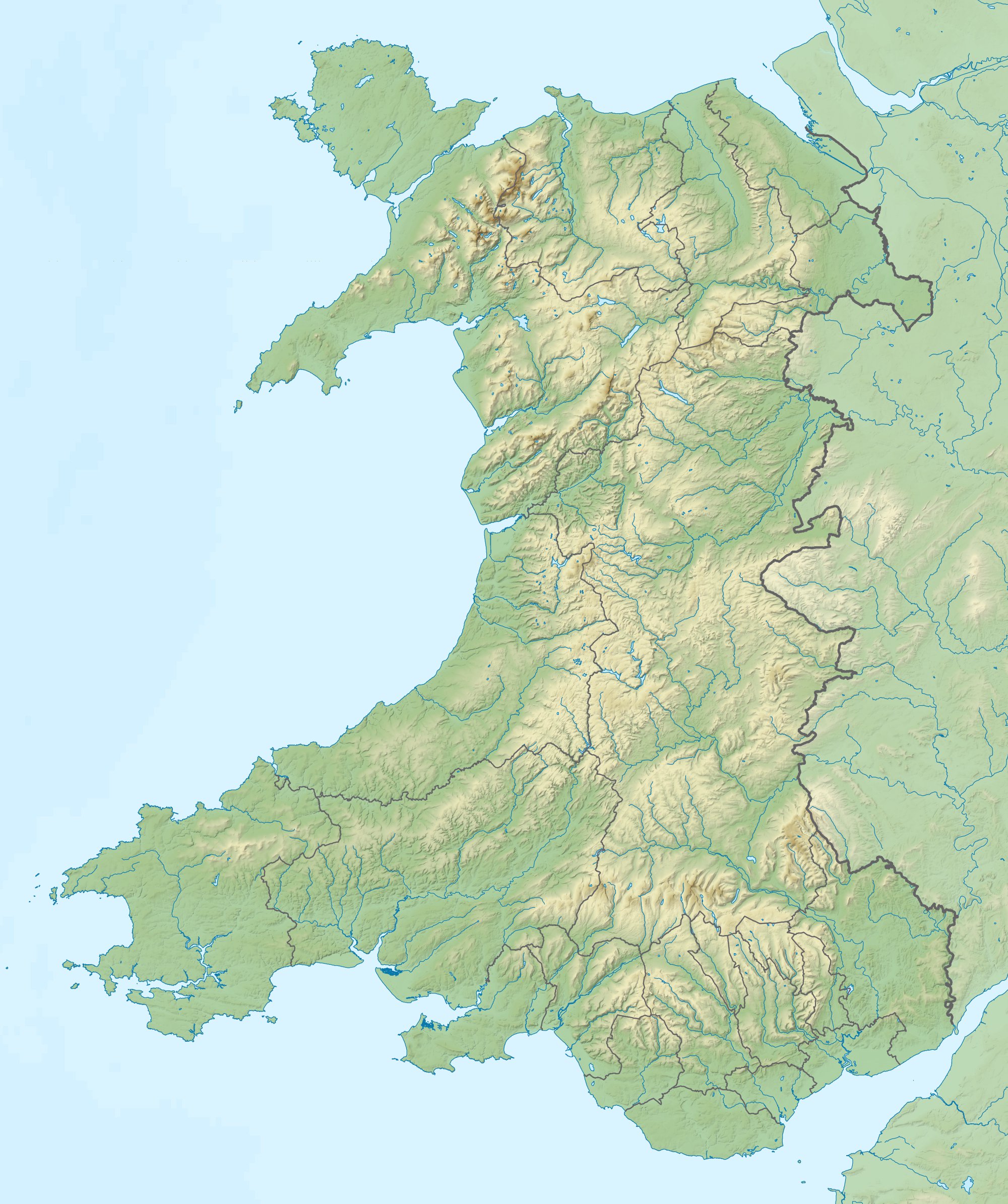
| Géolocalisation sur la carte : pays de Galles
| ||
| Îles au Royaume-Uni | ||
| modifier |
||
Étymologie
Selon William Basil Jones (en), son nom signifie « Île Faucon »[1] en gallois.
Faune et flore
Cette section est vide, insuffisamment détaillée ou incomplète. Votre aide est la bienvenue ! Comment faire ?
Histoire
En 1903, le S.S. Graffoe, un bateau à vapeur de 2 996 tonnes reliant Glasgow à Buenos Aires avec du charbon, heurte l'île de Ramsey et coule à l'extrémité nord d'Ynys Bery ; il se trouve à une profondeur de 15 m.
Notes et références
- (en) David Mills, The History and Antiquities of Saint David's, Pickering, Parker and Petheram, 1852, p. 17 (extrait en ligne).
Voir aussi
Bibliographie
- John Henry Ingram, The Islands of England : A Survey of the Islands Around England and Wales, and the Channel Islands, Batsford, 1952.
- Richard Deacon, Islands of England and Wales, Osprey Publishing, 1974. (ISBN 0850451663)
- Julian Holland, Exploring the Islands of England and Wales : Including the Channel Islands and the Isle of Man, Frances Lincoln Limited, 2007. (ISBN 0711227438)
Articles connexes
Liens externes
- (en) « Ynys Bery » sur le site Hill Bagging – Database of British and Irish Hills
 Portail du pays de Galles
  Portail du monde insulaire
На других языках
[en] Ynys Bery
Ynys Bery is a small island south of Ramsey Island, Pembrokeshire, Wales, in the community of St David's and the Cathedral Close.- [fr] Ynys Bery
Текст в блоке "Читать" взят с сайта "Википедия" и доступен по лицензии Creative Commons Attribution-ShareAlike; в отдельных случаях могут действовать дополнительные условия.
Другой контент может иметь иную лицензию. Перед использованием материалов сайта WikiSort.org внимательно изучите правила лицензирования конкретных элементов наполнения сайта.
Другой контент может иметь иную лицензию. Перед использованием материалов сайта WikiSort.org внимательно изучите правила лицензирования конкретных элементов наполнения сайта.
2019-2026
WikiSort.org - проект по пересортировке и дополнению контента Википедии
WikiSort.org - проект по пересортировке и дополнению контента Википедии