geo.wikisort.org - Island
Ubay Island is an island situated in Cebu Strait, a narrow strait between the islands of Bohol and Cebu, Philippines. The island is around 7 km (4.3 mi) northwest from Bohol and is one of the islands located in the Danajon Bank, the only double barrier reef in the country. Ubay Island is under the jurisdiction of the municipality of Tubigon, Bohol. [1] The total population of Ubay Island is 223.[2]
Isla sa Ubay | |
|---|---|
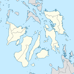 Ubay Island Location within the Philippines  Ubay Island Ubay Island (Philippines) | |
| Geography | |
| Coordinates | 10°1′29″N 123°58′0″E |
| Adjacent to | Cebu Strait |
| Area | 0.01 km2 (0.0039 sq mi) |
| Highest elevation | 2.32 m (7.61 ft) |
| Administration | |
| Region | Central Visayas |
| Province | Bohol |
| Municipality | Tubigon |
| Barangay | Ubay |
| Demographics | |
| Population | 223 (2020) |
| Pop. density | 22,300/km2 (57800/sq mi) |
| Ethnic groups | Cebuano |
See also
References
- "Tubigon, Bohol". DILG LGU Profile.
- "Barangay Ubay Island - Philippine Standard Geographic Code". Philippine Statistics Authority.
Текст в блоке "Читать" взят с сайта "Википедия" и доступен по лицензии Creative Commons Attribution-ShareAlike; в отдельных случаях могут действовать дополнительные условия.
Другой контент может иметь иную лицензию. Перед использованием материалов сайта WikiSort.org внимательно изучите правила лицензирования конкретных элементов наполнения сайта.
Другой контент может иметь иную лицензию. Перед использованием материалов сайта WikiSort.org внимательно изучите правила лицензирования конкретных элементов наполнения сайта.
2019-2026
WikiSort.org - проект по пересортировке и дополнению контента Википедии
WikiSort.org - проект по пересортировке и дополнению контента Википедии