geo.wikisort.org - Island
Tuvana-i-Ra is an uninhabited atoll in the southeastern part of the island state of Fiji in the Pacific Ocean. It is the southernmost atoll of the Lau archipelago and represents Fiji's second-southernmost landmass; only the remote and uninhabited atoll Ceva-i-Ra lies slightly further south.
 Tuvana-i-Ra (left) and Tuvana-i-Colo (right) | |
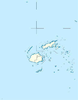 Tuvana-i-Ra Location in Fiji | |
| Geography | |
|---|---|
| Coordinates | 21°02′21″S 178°50′54″W |
| Archipelago | Lau Islands |
| Adjacent bodies of water | Koro Sea |
| Total islands | 1 |
| Area | 4.5 km2 (1.7 sq mi) |
| Length | 2.8 km (1.74 mi) |
| Width | 2.3 km (1.43 mi) |
| Administration | |
Fiji | |
| Division | Eastern |
| Province | Lau Province |
| Demographics | |
| Population | Uninhabited |
History
The island was sighted in 1820 by the Russian explorer Fabian Gottlieb von Bellingshausen and named "Mikhailov” (after the artist Pavel Mikhailov who was on expedition with him).[1]
Geography
Tuvana-i-Ra is located about 30 km southwest of Ono-i-Lau, Fiji's southernmost inhabited atoll, and 8 km southwest of the neighboring Tuvana-i-Colo. It is an elliptically shaped Atoll with a large island in the center of the lagoon. There are no islands on the fringing reef.
See also
- Desert island
- List of islands
References
- Stoller, Marianne L (1959). "Te-moana-nui-o-Kiwa" (PDF). Expedition. 1 (3): 29. Retrieved 18 May 2020.
Political divisions of Fiji | ||
|---|---|---|
| Divisions |
| |
| Provinces |
| |
| Dependency | ||
| Cities |
| |
| Towns |
| |
This article about a geographical location in Fiji is a stub. You can help Wikipedia by expanding it. |
На других языках
[de] Tuvana-i-Ra
Tuvana-i-Ra ist ein unbewohntes Atoll im Südosten des Inselstaates Fidschi im Pazifischen Ozean. Es ist das südlichste Atoll des Lau-Archipels und stellt die zweit-südlichste Landmasse Fidschis dar; lediglich das entlegene und unbewohnte Atoll Ceva-i-Ra liegt geringfügig weiter südlich.- [en] Tuvana-i-Ra
Другой контент может иметь иную лицензию. Перед использованием материалов сайта WikiSort.org внимательно изучите правила лицензирования конкретных элементов наполнения сайта.
WikiSort.org - проект по пересортировке и дополнению контента Википедии