geo.wikisort.org - Island
Tatihou is an islet of Normandy in France with an area of 29 hectares (72 acres). It is located to the east of the Cotentin peninsula just off the coast near Saint-Vaast-la-Hougue. It is almost uninhabited, and is usually reached by amphibious craft although, being a tidal island, it is also possible to walk there over the local oyster beds at low tide. Access to the island is limited to 500 visitors per day.
 Tatihou seen from La Pernelle | |
 Tatihou | |
| Geography | |
|---|---|
| Location | English Channel |
| Coordinates | 49°35′20″N 1°14′36″W |
| Area | 0.29 km2 (0.11 sq mi) |
| Administration | |
France | |
| Region | Normandy |
| Department | Manche |
| Commune | Saint-Vaast-la-Hougue |
| Demographics | |
| Population | 0 |

History
Tatihou, like many of the islets of the Channel Islands contains the -hou suffix.
In 1692 the naval Battle of La Hougue took place between the English and the French close to the island of Tatihou. In 1756 the surroundings of La Hougue were defended by many batteries and forts, but the lack of regular maintenance ensured that these quickly fell into disrepair. In 1720 Tatihou was used for quarantining plague victims from Marseilles.
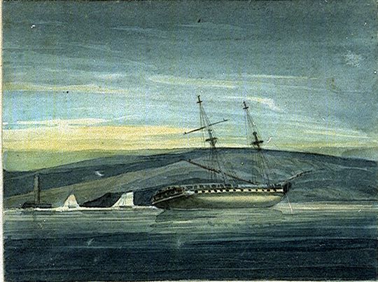
On 10 December 1803, the 36-gun frigate HMS Shannon grounded on Tatihou. All her crew survived to be captured by troops from a battery. The next day a party from HMS Merlin burned Shannon to prevent her arms and stores falling into French hands.
Culture
Tatihou has hosted a small folk festival since 1995, Les Traversées de Tatihou, every August 15. The hours are selected according to the tides to allow the festival goers to get home. The island also hosts music courses several times a year.
Flora and fauna
An ornithological reserve was founded in 1990 with an area of 3 hectares (7.4 acres). The island is a stopping place for many migrating birds, including the herring gull, great black-backed gull, common shelduck, little egret, eider, wigeon and yellow-legged gull. There is also a botanical garden on the island.
Twinning
Tatihou is twinned with:
 Brownsea Island, United Kingdom[1]
References
- "Dorset Twinning Association List". The Dorset Twinning Association. Archived from the original on 2012-06-21. Retrieved 2013-08-01.
External links
- Island of Tatihou — tourism site
- Tatihou music festival — FolkWorld article
- Tatihou.com — official website, in French
- Conservatoire du Littoral — conservation website, in French
| Authority control |
|
|---|
На других языках
[de] Tatihou
Die französische Île Tatihou liegt in der Bucht von Saint-Vaast-la-Hougue, vor der Ostküste der Halbinsel Cotentin im Département Manche in der Normandie, im Baie de Seine. Die nur 29 Hektar große Insel beherbergt ein Seemuseum, drei Gärten, ein vom Marquis Sébastien Le Prestre de Vauban (auch le Prestre) 1633–1707 erbautes Fort und ein Naturschutzgebiet.- [en] Tatihou
[fr] Île Tatihou
L'île Tatihou est une île côtière française au nord-est du Cotentin située dans la rade de Saint-Vaast-la-Hougue (département de la Manche), commune à laquelle elle est administrativement rattachée[1].[it] Tatihou
L'isola di Tatihou (île de Tatihou in lingua francese) è una piccola isola sulla costa francese della Manica a nord-est della penisola del Cotentin nella rada di Saint-Vaast-la-Hougue, comune cui appartiene territorialmente.[1][ru] Татиу
Татиу — остров в Нормандии площадью 0.29 км2. Расположен в порту Сен-Ва-Ла-Уг[en][1] (департамент Манш).Другой контент может иметь иную лицензию. Перед использованием материалов сайта WikiSort.org внимательно изучите правила лицензирования конкретных элементов наполнения сайта.
WikiSort.org - проект по пересортировке и дополнению контента Википедии