geo.wikisort.org - Island
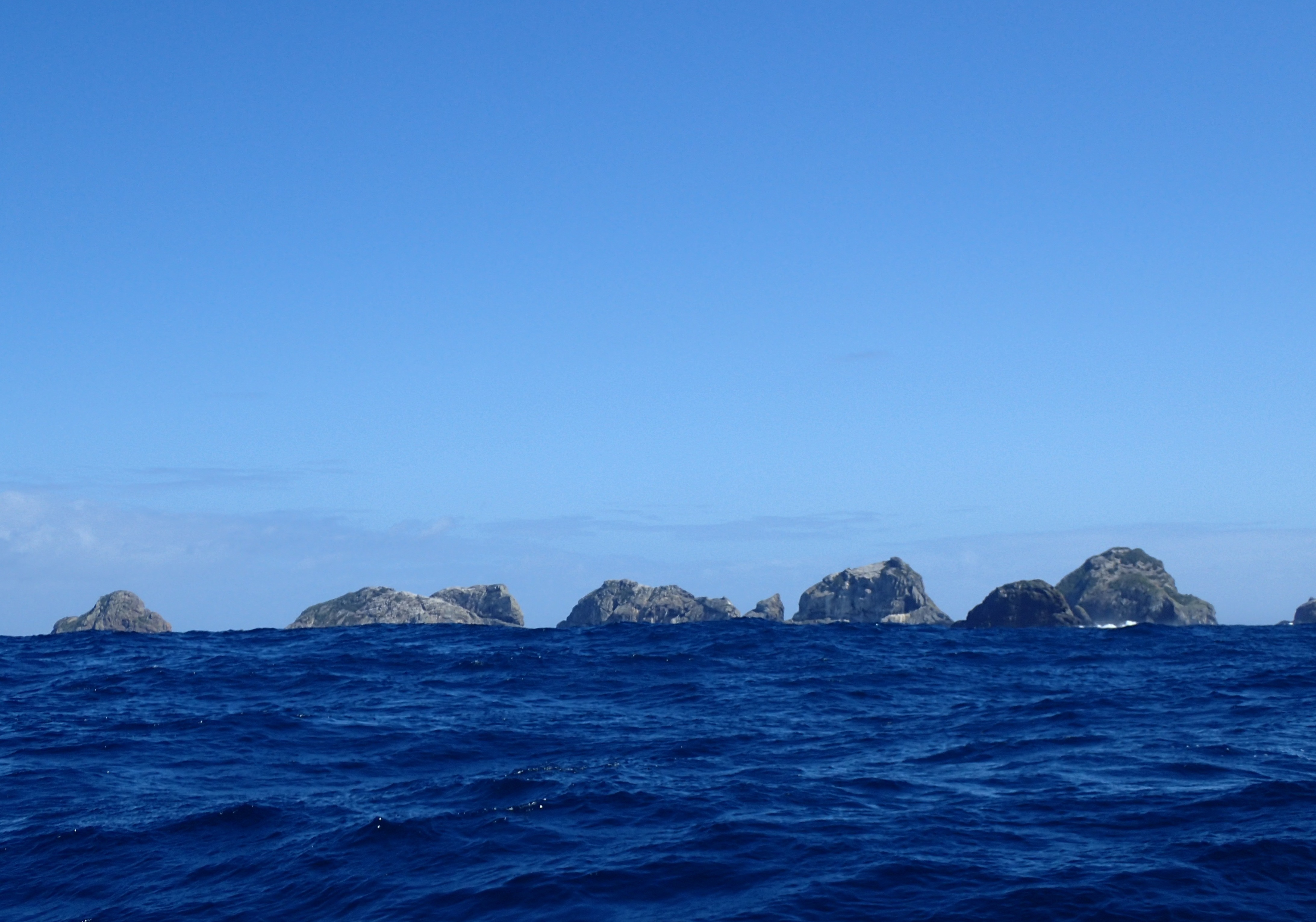
Rosemary Rock is a rugged islet, 170 m long by 40 m across at sea level, rising to about 50 m. It is the smallest of the Princes Chain of the Three Kings archipelago lying 57 km off the north-western tip of New Zealand’s North Island. It is named after the yacht Rosemary, which transported researchers to the Three Kings group in the late 1940s and early 1950s.[1]
Flora and fauna
Plants recorded from the islet include a glasswort (Salicornia australis), New Zealand iceplant, shore groundsel, taupata and a goosefoot (Chenopodium allanii). It is a breeding site for a small colony, only discovered in 1983, of about 20 pairs of northern Buller's albatrosses (Thalassarche bulleri platei), the only known breeding site for the subspecies away from the Chatham Islands. It also has a large colony of red-billed gulls.[1][2]
See also
- Desert island
- List of islands
References
- Wright, A.E. (1984). "Buller's Mollymawks breeding at the Three Kings Islands" (PDF). Notornis. 31 (3): 203–207.
- McCallum, John; Brook, Fred & Francis, Malcolm (1985). "Buller's Mollymawks on Rosemary Rock, Three Kings Islands, in 1985" (PDF). Notornis. 32 (3): 257–259.
This article about the geography of New Zealand's outlying islands is a stub. You can help Wikipedia by expanding it. |
Другой контент может иметь иную лицензию. Перед использованием материалов сайта WikiSort.org внимательно изучите правила лицензирования конкретных элементов наполнения сайта.
WikiSort.org - проект по пересортировке и дополнению контента Википедии