geo.wikisort.org - Island
Mambacayao Gamay is an island located in the Visayas, Philippines. The island is part of the Bantayan Island Group. It is situated around 18 km (11 mi) from Bantayan, Cebu and around 23 km (14 mi) from the port of Escalante, Negros Occidental. Mambacayao Gamay is also part of Barangay Lipayran, along with Lipayran Island and Mambacayao Daku Island and under the jurisdiction of the municipality of Bantayan, Cebu. [1] Most of the inhabitants of the islands are fisherfolks. The estimated total area of the island is 0.06 km2 (0.023 sq mi) and has a high population density.
This article relies largely or entirely on a single source. (October 2022) |
Isla sa Mambacayao Gamay | |
|---|---|
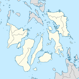 Mambacayao Gamay Island Location within the Philippines  Mambacayao Gamay Island Mambacayao Gamay Island (Philippines) | |
| Geography | |
| Coordinates | 11°2′0″N 123°35′23″E |
| Adjacent to | Visayan Sea Tañon Strait |
| Area | 0.06 km2 (0.023 sq mi) |
| Administration | |
| Region | Central Visayas |
| Province | Bohol |
| Municipality | Tubigon |
| Barangay | Lipayran |
| Demographics | |
| Ethnic groups | Cebuano Bantayanon |
See also
References
- "Bantayan, Cebu". DILG LGU Profile.
This article about a location in the Philippines is a stub. You can help Wikipedia by expanding it. |
Текст в блоке "Читать" взят с сайта "Википедия" и доступен по лицензии Creative Commons Attribution-ShareAlike; в отдельных случаях могут действовать дополнительные условия.
Другой контент может иметь иную лицензию. Перед использованием материалов сайта WikiSort.org внимательно изучите правила лицензирования конкретных элементов наполнения сайта.
Другой контент может иметь иную лицензию. Перед использованием материалов сайта WikiSort.org внимательно изучите правила лицензирования конкретных элементов наполнения сайта.
2019-2026
WikiSort.org - проект по пересортировке и дополнению контента Википедии
WikiSort.org - проект по пересортировке и дополнению контента Википедии