geo.wikisort.org - Island
Little Camanoe is an uninhabited island of the British Virgin Islands in the Caribbean.
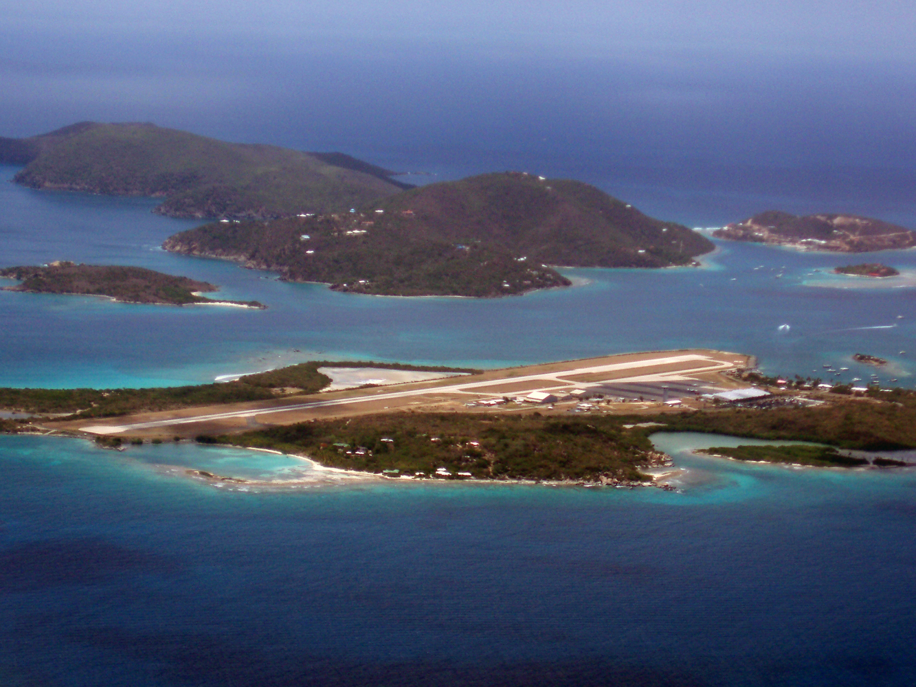 Little Camano is to the mid-left, behind Tortola airport's runway | |
 Little Camanoe The location of Little Camanoe within the British Virgin Islands  Little Camanoe Little Camanoe (Caribbean) | |
| Geography | |
|---|---|
| Location | Caribbean Sea |
| Coordinates | 18.4589°N 64.5427°W |
| Archipelago | Virgin Islands |
| Administration | |
United Kingdom | |
| British Overseas Territory | British Virgin Islands |
| Additional information | |
| Time zone |
|
| ISO code | VG |
The island provides habitat for the common Puerto Rican ameiva (Ameiva exsul), the crested anole (Anolis cristatellus wileyae), and the big-scaled least gecko (Sphaerodactylus macrolepis macrolepis).[1]
References
- Heatwole, Harold; Levins, Richard; Byer, Michael D. (July 1981). Atoll research bulletin - Biogeography of the Puerto Rican bank. Vol. 251. Washington D.C.: The Smithsonian Institution. pp. 47. OCLC 45726059.
British Virgin Islands | ||
|---|---|---|
| History |
| |
| Geography |
| |
| Education |
| |
| Transport |
| |
| Landmarks |
| |
This British Virgin Islands location article is a stub. You can help Wikipedia by expanding it. |
На других языках
- [en] Little Camanoe
[fr] Little Camanoe
Little Camanoe est une île inhabitée des îles Vierges britanniques dans les Caraïbes.Текст в блоке "Читать" взят с сайта "Википедия" и доступен по лицензии Creative Commons Attribution-ShareAlike; в отдельных случаях могут действовать дополнительные условия.
Другой контент может иметь иную лицензию. Перед использованием материалов сайта WikiSort.org внимательно изучите правила лицензирования конкретных элементов наполнения сайта.
Другой контент может иметь иную лицензию. Перед использованием материалов сайта WikiSort.org внимательно изучите правила лицензирования конкретных элементов наполнения сайта.
2019-2026
WikiSort.org - проект по пересортировке и дополнению контента Википедии
WikiSort.org - проект по пересортировке и дополнению контента Википедии