geo.wikisort.org - Island
Leka is the main island in Leka municipality in Trøndelag county, Norway. The 57-square-kilometre (22 sq mi) island makes up about half of the area of the municipality of Leka. The island is surrounded by dozens of smaller islands. The smaller island of Madsøya lies south of Leka, and it is connected to Leka by a short bridge. The larger island of Austra lies about 4 kilometres (2.5 mi) east of Leka. There is a ferry connection between Leka and Austra, and Austra is connected to the mainland by a bridge.[1]
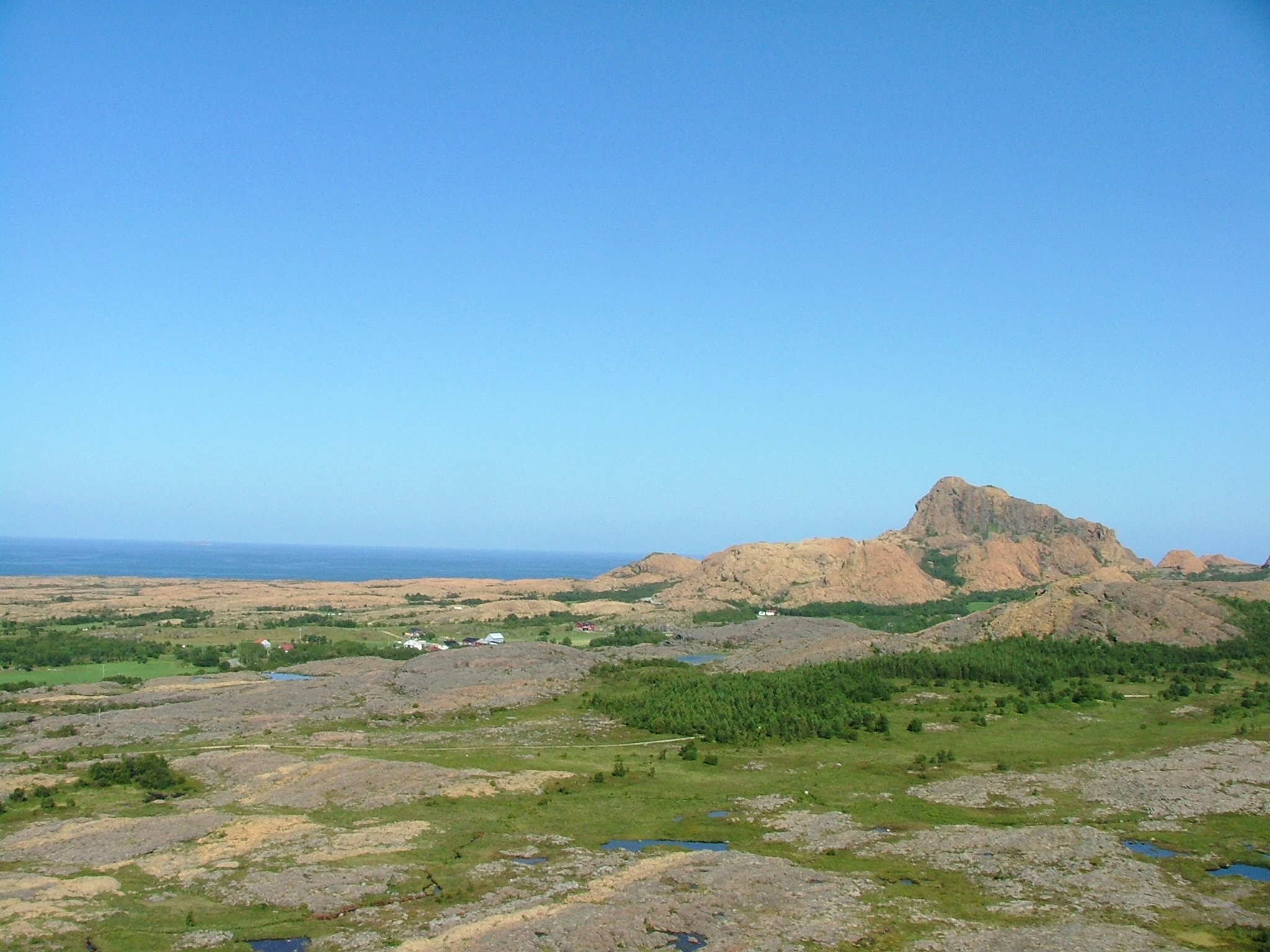 View of the island's landscape | |
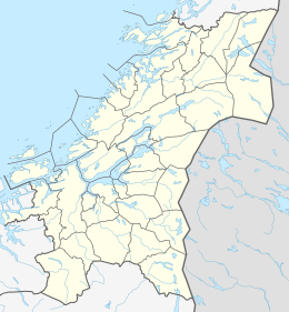 Leka Location of the island  Leka Leka (Norway) | |
| Geography | |
|---|---|
| Location | Trøndelag, Norway |
| Coordinates | 65.0969°N 11.6496°E |
| Area | 57 km2 (22 sq mi) |
| Length | 14.5 km (9.01 mi) |
| Width | 6 km (3.7 mi) |
| Administration | |
Norway | |
| County | Trøndelag |
| Municipality | Leka |
The village of Leknes is the administrative centre of Leka municipality and it is located on the northeast part of the island. The Leka Church is located on the island as well. The mountain Lekamøya lies on the southern part of the island.
History
The island has been inhabited for at least 10,000 years, as evidenced by cave drawings in the Solsem section of the island. Dated to the Viking Age, the burial mound Herlaugshaugen is one of the largest (in Norway) from that era.[2]
Name
The Old Norse form of the name was Leka. The meaning of the name is unknown, but it may come from the word lekke which can mean "gravelly ground".[1][3]
See also
References
- Rosvold, Knut A., ed. (2018-01-02). "Leka". Store norske leksikon (in Norwegian). Kunnskapsforlaget. Retrieved 2018-05-05.
- "Mysteriet på Herlaugshaugen fortsetter - Nærmere undersøkelser av Herlaugshaugen på Leka har ikke gitt flere svar på hva som skjuler seg i haugen. De har likevel kartlagt noen nye funn" [The mystery at Herlaugshaugen continues - Closer examinations of Herlaugshaugen at Leka has not given more answers about what is hiding in the mound. They have nevertheless identified some new discoveries] (in Norwegian). NRK.
- Rygh, Oluf (1903). Norske gaardnavne: Nordre Trondhjems amt (in Norwegian) (15 ed.). Kristiania, Norge: W. C. Fabritius & sønners bogtrikkeri. p. 369.
Другой контент может иметь иную лицензию. Перед использованием материалов сайта WikiSort.org внимательно изучите правила лицензирования конкретных элементов наполнения сайта.
WikiSort.org - проект по пересортировке и дополнению контента Википедии